Loading...
Loading map...1939 Map of Kennedy
USGS Topo · Published 1973About this map
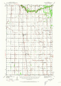
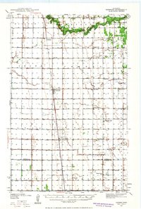
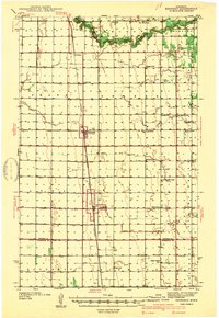
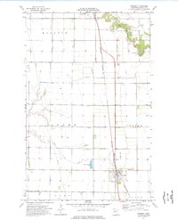
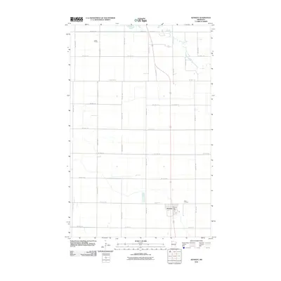
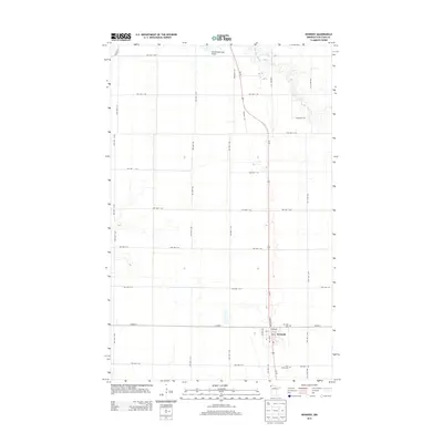
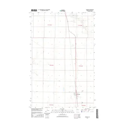
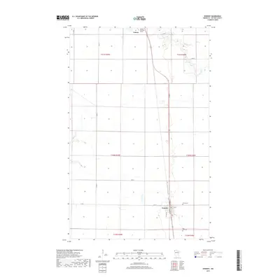
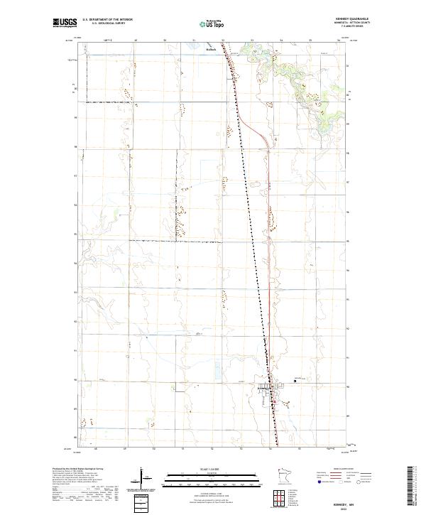
Kennedy and Donaldson anchor this survey of the Red River Valley, where the Great Northern railroad cuts a straight line through the agricultural heart of Kittson County. The landscape is defined by an extensive system of drainage ditches that supplement the natural flow of Two Rivers and the South Branch Two Rivers. This network of judicial and state ditches reflects the early 20th-century efforts to manage the flat, low-lying terrain for farming.
Find a feature on this map
28 named features on this map. Tap any name to fly to it.
Don’t see what you’re looking for? This feature index may not catch every label — zoom into the map to look around manually.
Map Details
Date Portrayed1939
Date Published1973
PublisherU.S. Geological Survey
Map TypeTopographic
Scale1:62,500
Physical Dimensions15.4 x 21.5 inches
Editions of this 1939 Kennedy Map
2 editions found
Historical Maps of Kennedy Through Time
8 maps found
Featured Locations
Source Details
SourceU.S. Geological Survey
CopyrightPublic Domain