Old Maps of Cerro Gordo, Minnesota for Hiking & Exploration
Hike through history with 9 historic maps of Cerro Gordo. Explore old trails, ghost towns, and forgotten backroads — perfect for outdoor adventurers and local explorers.
- Rediscover forgotten places: Map out old mining camps, roads, and footpaths that no longer exist on modern maps.
- Layer with modern tools: Combine with LiDAR or satellite views to plan hikes through historical terrain.
- Made for exploration: Popular among hikers, overlanders, and local history lovers.
Use these maps to find adventure and explore the hidden past of Cerro Gordo.
Cerro Gordo, MN maps
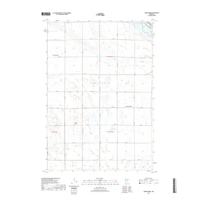
(9)- 1953 Map of Milbank, 1958 Print
 1953 Milbank1958 Print · USGSThe tri-state border region of South Dakota, North Dakota, and Minnesota is shown here during the early fifties, a landscape defined by glacial lakes and the Sisseton Indian Reservation. Researchers can trace the legacy of the western railroads, locating old stops along the Great Northern and settlements like Milbank, Webster, and Sisseton.3 unique versions available
 - 1958 Map of Milbank
 1958 Milbank1958 Print · USGSThe northern Great Plains in the late fifties show a landscape of glacial lakes and reservation lands shaped by the Great Northern railroad. Genealogists and local historians can trace the grid of settlements from Britton to Milbank and locate landmarks like Enemy Swim Lake and the Sisseton Indian Reservation.
 - 1958 Map of Cerro Gordo, 1959 Print
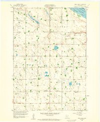 1958 Cerro Gordo1959 Print · USGSLac Qui Parle County remains a landscape of traditional township grids and rural school districts in the late fifties. Genealogists and local historians can locate several specific district schools and parish landmarks, including Borgund Ch, School No 871, and the settlement at Cerro Gordo.
 - 1985 Map of Milbank
 1985 Milbank1985 Print · USGSThe South Dakota and Minnesota border region comes into focus during the mid-eighties as a hub of prairie lakes and rail transport. Genealogists and researchers can trace the lakeside settlements of Hiawatha Beach, the streets of Milbank, and legacy rail lines like the Burlington Northern.
 - 2010 Map of Cerro Gordo, 2010 Print
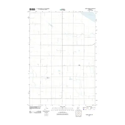 2010 Cerro Gordo2010 Print · USGSCovers Cerro Gordo, including Lac qui Parle County, Chippewa County, and other nearby areas
 - 2013 Map of Cerro Gordo, 2013 Print
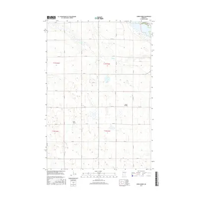
 2013 Cerro Gordo2013 Print · USGSCovers Cerro Gordo, including Lac qui Parle County, Chippewa County, and other nearby areas
 - 2016 Map of Cerro Gordo, 2016 Print
 2016 Cerro Gordo2016 Print · USGSCovers Cerro Gordo, including Lac qui Parle County, Chippewa County, and other nearby areas
 - 2019 Map of Cerro Gordo, 2019 Print
 2019 Cerro Gordo2019 Print · USGSCovers Cerro Gordo, including Lac qui Parle County, Chippewa County, and other nearby areas
 - 2022 Map of Cerro Gordo, 2022 Print
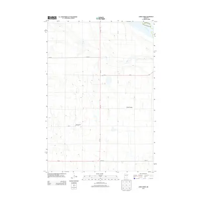
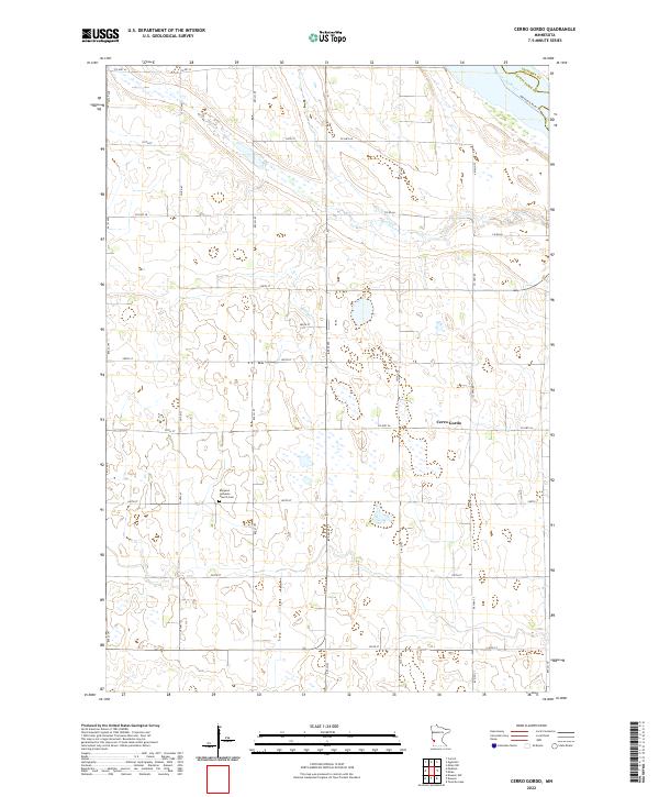 2022 Cerro Gordo2022 Print · USGSLac qui Parle County's agricultural heartland is documented here in the early twenty-first century, showing a landscape of precise section grids and rural crossroads. Genealogists and local historians can locate the Borgund Lutheran Church Cem and trace the path of Emily Cr near Cerro Gordo.
End of results
Showing maps 1-9 of 9
Top cities near Cerro Gordo
- Appleton historical maps
- Madison historical maps
- Dawson historical maps
- Milan historical maps
- Boyd historical maps
- Providence historical maps
See more
Frequently asked questions
- What are the different types of historical maps available for Cerro Gordo?
- What is the oldest map of Cerro Gordo?
- Where can I purchase historical maps of Cerro Gordo for my home or office?
- Where can I download high-res historical maps of Cerro Gordo?
- Are there historical topographic maps available for Cerro Gordo?
- Is there historical aerial imagery available for Cerro Gordo?
- Where are historical maps of Cerro Gordo sourced from?