Old Maps of Haydenville, Minnesota for Academic Research
Study the evolution of Haydenville with 10 high-resolution historic maps. Whether you're teaching, researching, or modeling changes in land use, these maps provide essential visual documentation of urban, environmental, and geographic change.
- Analyze long-term change: Track patterns in development, transportation, and natural features.
- Ideal for environmental or urban studies: Support academic projects with primary historical map data.
- Use in the classroom or lab: Educators and researchers rely on these maps to bring historical context to life.
These maps are a powerful tool for teaching, research, and visualizing how Haydenville has changed over the decades.
Haydenville, MN maps
(10)- 1953 Map of Bellingham, 1955 Print
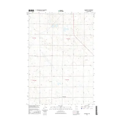
 1953 Bellingham1955 Print · USGSThe borderlands of western Minnesota and South Dakota are shown here in the mid-fifties as a landscape of rail-connected prairie towns and a dense network of country school districts. Genealogists can trace family footprints near Bellingham and Marietta, or locate rural sites like Immanuel Ch and the Swedish Mission Cem.
 - 1953 Map of Milbank, 1958 Print
 1953 Milbank1958 Print · USGSThe tri-state border region of South Dakota, North Dakota, and Minnesota is shown here during the early fifties, a landscape defined by glacial lakes and the Sisseton Indian Reservation. Researchers can trace the legacy of the western railroads, locating old stops along the Great Northern and settlements like Milbank, Webster, and Sisseton.3 unique versions available
 - 1958 Map of Milbank
 1958 Milbank1958 Print · USGSThe northern Great Plains in the late fifties show a landscape of glacial lakes and reservation lands shaped by the Great Northern railroad. Genealogists and local historians can trace the grid of settlements from Britton to Milbank and locate landmarks like Enemy Swim Lake and the Sisseton Indian Reservation.
 - 1971 Map of Haydenville, 1974 Print
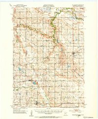
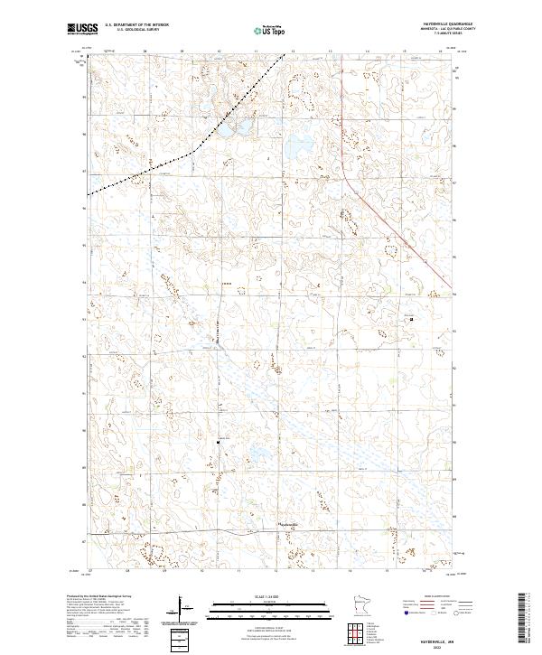
 1971 Haydenville1974 Print · USGSLac qui Parle County enters the 1970s as a landscape of structured agricultural townships and emerging wildlife conservation. Researchers can trace the diagonal Indian Treaty Boundary and locate family history at Lokken Cem or the settlement of Haydenville.
 - 1985 Map of Milbank
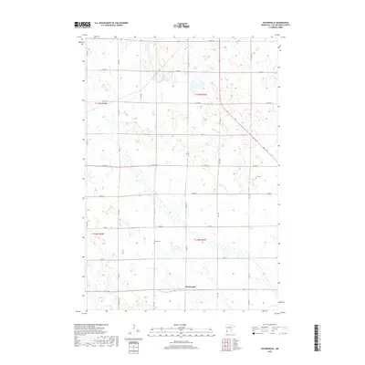
 1985 Milbank1985 Print · USGSThe South Dakota and Minnesota border region comes into focus during the mid-eighties as a hub of prairie lakes and rail transport. Genealogists and researchers can trace the lakeside settlements of Hiawatha Beach, the streets of Milbank, and legacy rail lines like the Burlington Northern.
 - 2010 Map of Haydenville, 2010 Print
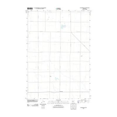 2010 Haydenville2010 Print · USGSCovers Haydenville, including Lac qui Parle County, United States, and other nearby areas
 - 2013 Map of Haydenville, 2013 Print
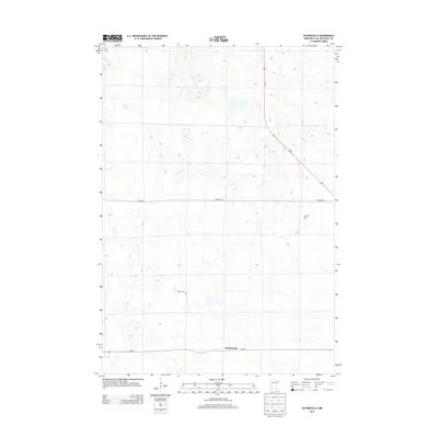 2013 Haydenville2013 Print · USGSCovers Haydenville, including Lac qui Parle County, United States, and other nearby areas
 - 2016 Map of Haydenville, 2016 Print
 2016 Haydenville2016 Print · USGSCovers Haydenville, including Lac qui Parle County, United States, and other nearby areas
 - 2019 Map of Haydenville, 2019 Print
 2019 Haydenville2019 Print · USGSCovers Haydenville, including Lac qui Parle County, United States, and other nearby areas
 - 2022 Map of Haydenville, 2022 Print
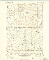
 2022 Haydenville2022 Print · USGSThe rural grid of Lac qui Parle County is captured here in the early twenty-first century, showing the enduring agricultural layout of western Minnesota. Local historians can pinpoint family landmarks and burial sites like Zion Cem, Lokken Cem, and the quiet hub of Haydenville.
End of results
Showing maps 1-10 of 10
Top cities near Haydenville
- Madison historical maps
- Gary historical maps
- Bellingham historical maps
- Providence historical maps
- Marietta historical maps
- Nassau historical maps
See more
Frequently asked questions
- What are the different types of historical maps available for Haydenville?
- What is the oldest map of Haydenville?
- Where can I purchase historical maps of Haydenville for my home or office?
- Where can I download high-res historical maps of Haydenville?
- Are there historical topographic maps available for Haydenville?
- Is there historical aerial imagery available for Haydenville?
- Where are historical maps of Haydenville sourced from?