Old Maps of Lac qui Parle, Minnesota for Metal Detecting
Plan your next treasure hunt with 10 historic maps of Lac qui Parle. Find old homesites, ghost towns, trails, and gathering spots that may be lost to time — perfect for identifying promising metal detecting locations.
- Locate forgotten sites: Uncover places like long-lost settlements, abandoned rail lines, or gathering spots.
- Plan better hunts: Use map overlays combined with LiDAR or satellite views to narrow in on historically rich areas.
- Made for detectorists: Thousands of hobbyists use these maps to discover relics, coins, and hidden history.
Use these historic maps to boost your research and find new opportunities beneath the surface of Lac qui Parle.
Lac qui Parle, MN maps
(10)- 1953 Map of Saint Cloud, 1968 Print
 1953 Saint Cloud1968 Print · USGSCentral Minnesota's lake country and the Mississippi River valley are caught in a period of steady mid-century growth. Researchers can trace historic rail lines, old granite works, and local landmarks like St. Johns University, Camp Ripley, and the shores of Lake Minnewaska.3 unique versions available
 - 1957 Map of Saint Cloud
 1957 Saint Cloud1957 Print · USGSCentral Minnesota's lake country and rail corridors are meticulously detailed in the mid-1950s. Genealogists and researchers can trace the growth of towns like Alexandria, Willmar, and Saint Cloud along the Great Northern railroad line.
 - 1958 Map of Saint Cloud
 1958 Saint Cloud1958 Print · USGSCentral Minnesota in the mid-1950s shows a landscape of growing regional hubs and hundreds of glacial lakes connected by an extensive rail network. Genealogists and historians can trace the early footprints of Saint Cloud, Alexandria, and Willmar along the Great Northern Railway.
 - 1958 Map of Milan, 1959 Print
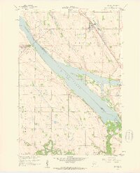 1958 Milan1959 Print · USGSChippewa and Lac qui Parle counties meet along the Minnesota River valley in the late fifties, where rail and river networks converge. Researchers can trace the Milwaukee Road through Milan, locate School No 836, and find the historic Kviteseid Cem.2 unique versions available
 - 1986 Map of Willmar
 1986 Willmar1986 Print · USGSWest-central Minnesota in the mid-eighties was a landscape of rail-dependent prairie towns and extensive waterfowl conservation areas. Researchers can trace the path of the Burlington Northern through Kerkhoven or explore the lake-dotted terrain of Sibley State Park.2 unique versions available
 - 2010 Map of Milan, 2010 Print
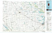
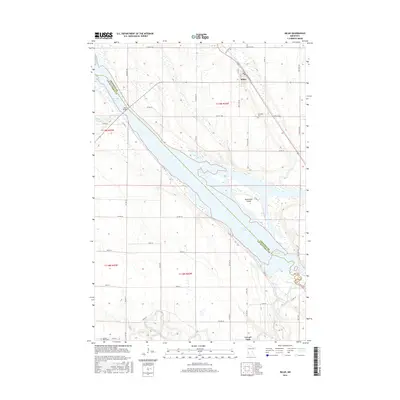
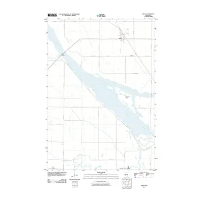 2010 Milan2010 Print · USGSCovers Lac qui Parle, including Milan, Lac qui Parle County, and other nearby areas
 - 2013 Map of Milan, 2013 Print
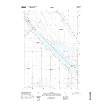
 2013 Milan2013 Print · USGSCovers Lac qui Parle, including Milan, Lac qui Parle County, and other nearby areas
 - 2016 Map of Milan, 2016 Print
 2016 Milan2016 Print · USGSCovers Lac qui Parle, including Milan, Lac qui Parle County, and other nearby areas
 - 2019 Map of Milan, 2019 Print
 2019 Milan2019 Print · USGSCovers Lac qui Parle, including Milan, Lac qui Parle County, and other nearby areas
 - 2022 Map of Milan, 2022 Print
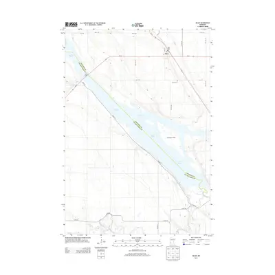
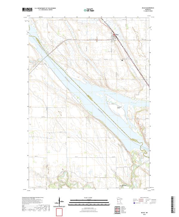 2022 Milan2022 Print · USGSThe river-and-wetland landscape near Milan is captured here during the early twenty-first century, showing the town's relationship to the broad Minnesota River. Researchers can trace local history through sites like the Kviteseid Cem or follow the paths of the Minnesota River State Trl and Watson Sag.
End of results
Showing maps 1-10 of 10
Top cities near Lac qui Parle
- Montevideo historical maps
- Appleton historical maps
- Dawson historical maps
- Clarkfield historical maps
- Milan historical maps
- Cerro Gordo historical maps
See more
Frequently asked questions
- What are the different types of historical maps available for Lac qui Parle?
- What is the oldest map of Lac qui Parle?
- Where can I purchase historical maps of Lac qui Parle for my home or office?
- Where can I download high-res historical maps of Lac qui Parle?
- Are there historical topographic maps available for Lac qui Parle?
- Is there historical aerial imagery available for Lac qui Parle?
- Where are historical maps of Lac qui Parle sourced from?