Old Maps of Stony River Township, Minnesota for Metal Detecting
Plan your next treasure hunt with 145 historic maps of Stony River Township. Find old homesites, ghost towns, trails, and gathering spots that may be lost to time — perfect for identifying promising metal detecting locations.
- Locate forgotten sites: Uncover places like long-lost settlements, abandoned rail lines, or gathering spots.
- Plan better hunts: Use map overlays combined with LiDAR or satellite views to narrow in on historically rich areas.
- Made for detectorists: Thousands of hobbyists use these maps to discover relics, coins, and hidden history.
Use these historic maps to boost your research and find new opportunities beneath the surface of Stony River Township.
Stony River Township, MN maps
(145)- 1933 Map of Ely, 1961 Print
 1933 Ely1961 Print · USGSThe iron-rich Vermilion Range comes alive in the early 1930s, showing the intersection of heavy industry and the Northwoods wilderness. Genealogists and historians can trace the foundations of Ely and Winton, including the Pioneer Mines and the Halfway CCC Camp.
 - 1939 Map of Ely
 1939 Ely1939 Print · USGSEly and the surrounding Iron Range were dominated by heavy industry and woodland conservation in the years before the war. Genealogists and historians can locate specific sites like Pioneer Mines, the Halfway CCC Camp, and the White Iron Sch.3 unique versions available
 - 1952 Map of Babbitt NE, 1954 Print
 1952 Babbitt NE1954 Print · USGSThe northern Minnesota wilderness of the early fifties is defined by the expansive waters of Birch Lake and the surrounding national forests. Trace the remnants of former outposts like Tomahawk Camp and an Old Landing Field near the Dunka River.6 unique versions available
 - 1953 Map of Whyte, 1955 Print
 1953 Whyte1955 Print · USGSThe Superior National Forest was a hub of rail-driven industry in the early fifties, crisscrossed by specialized ore and logging lines. Researchers can trace the junctions of the Duluth Missabe and Iron Range Railroad near Whyte and McNair, or locate landmarks like the Lookout Tower on Mt Weber.3 unique versions available
 - 1954 Map of Greenwood Lake, 1956 Print
 1954 Greenwood Lake1956 Print · USGSLake County’s timber and iron country is captured here in the mid-fifties as industrial rail lines were expanding through the wilderness. Researchers can trace the routes of the Erie Mining Company Railroad and find landmarks like Jack Pine Mountain and Slate Lake.2 unique versions available
 - 1954 Map of Silver Bay, 1956 Print
 1954 Silver Bay1956 Print · USGSThe North Shore was undergoing industrial expansion in the mid-1950s as mining and maritime logistics converged on the Lake Superior coast. Researchers can trace the early infrastructure of Silver Bay, the operations at the Mining site, and old logging routes like the Old Company Railroad.3 unique versions available
 - 1954 Map of Two Harbors, 1964 Print
 1954 Two Harbors1964 Print · USGSThe Minnesota North Shore and Superior National Forest are shown here in the mid-fifties, just as the taconite industry was reshaping the coast. Genealogists and historians can trace the rail lines of the Duluth Missabe and Iron Range or locate remote outposts like Sawbill Landing and Section Thirty.2 unique versions available
 - 1955 Map of Isabella, 1957 Print
 1955 Isabella1957 Print · USGSThe Lake County timberlands of the mid-1950s are captured here as a network of rail lines and forest landings. Researchers can trace the legacy of logging and settlement at the Isabella Sch (Abandoned), Manitou Junction, and Murphy City.4 unique versions available
 - 1957 Map of Two Harbors
 1957 Two Harbors1957 Print · USGSMinnesota's North Shore and the Arrowhead region are shown here in the mid-fifties as the taconite industry and cold war defense shaped the landscape. Researchers can trace the Duluth Missabe and Iron Range railroad, locate the Split Rock Light, and explore the iron-mining era at Taconite.
 - 1957 Map of Gabbro Lake, 1959 Print
 1957 Gabbro Lake1959 Print · USGSThe northern Minnesota wilderness of the late 1950s is revealed here through its complex network of lakes and early forest management. Trace the historic waterways around Upper Pipestone Falls, Dam No 1, and the South Kawishiwi River Camp within the forest interior.3 unique versions available
 - 1958 Map of Two Harbors
 1958 Two Harbors1958 Print · USGSThe North Shore and Arrowhead region of Minnesota are captured in the 1950s as iron ore shipping and wilderness preservation shaped the land. Researchers can trace the Duluth Missabe and Iron Range RR, find maritime landmarks like Split Rock Light, and locate remote settlements from Babbitt to Grand Marais.
 - 1964 Map of Two Harbors
 1964 Two Harbors1964 Print · USGSThe North Shore of Lake Superior is captured here during the mid-1950s, a time of significant industrial mining growth and emerging tourism. Genealogists and historians can trace the rail lines of the Duluth Missabe and Iron Range and locate landmarks like Split Rock Light and the U S Air Force Radar Station.
 - 1965 Map of Kangas Bay, 1967 Print
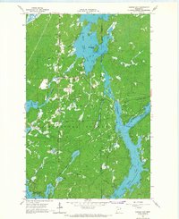 1965 Kangas Bay1967 Print · USGSThe North Woods during the mid-sixties are defined by the expansive waters of the Superior National Forest and the engineered Birch Lake Dam. Researchers can trace the reservoir shoreline and locate local landmarks like the Birch Lake Cem and Beargrease Island.3 unique versions available
 - 1976 Map of Two Harbors, 1994 Print
 1976 Two Harbors1994 Print · USGSThe North Shore of Lake Superior comes alive in this mid-seventies survey of the Minnesota timber and iron country. Trace the Duluth Missabe and Iron Range RR from Two Harbors past Split Rock Lighthouse State Park to the industrial port at Silver Bay.
 - 1981 Map of Snowbank Lake
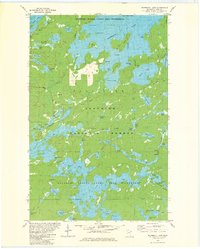 1981 Snowbank Lake1981 Print · USGSLake County and the Boundary Waters are captured here in the early eighties, showing a pristine wilderness of interconnected waterways and portages. Outdoor historians and researchers can trace the Old Pines Trail and locate landmarks like the Boy Scout Camp and the small settlement at Fernberg.3 unique versions available
 - 1981 Map of Lake Insula
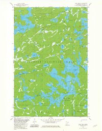 1981 Lake Insula1981 Print · USGSThe Boundary Waters region in the early eighties was a vast network of interconnected waterways and primitive paths. Outdoorsmen and historians can trace historic portages and long-distance routes like the Kekekabic Trail and Old Pines Trail past landmarks such as Disappointment Mountain.2 unique versions available
 - 1981 Map of Gabbro Lake, 1982 Print
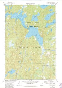 1981 Gabbro Lake1982 Print · USGSLake County, Minnesota, is shown here as it remained in the early eighties, a landscape of interconnected waterways and wilderness. You can trace established canoe routes through Gabbro Lake, locate Dam No 1, and find historic portage trails near Turtle Lake.2 unique versions available
 - 1981 Map of Ojibway Lake, 1982 Print
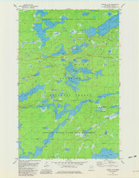 1981 Ojibway Lake1982 Print · USGSThe Boundary Waters and Superior National Forest appear in the early eighties as a dense network of glacial lakes and portage trails. Trace wilderness routes between Ojibway Lake, Wood Lake, and the winding Kawishiwi River.2 unique versions available
 - 1981 Map of Farm Lake, 1982 Print
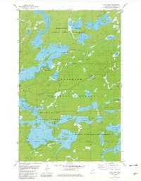 1981 Farm Lake1982 Print · USGSLake County's wilderness is captured in the early eighties at the intersection of managed timberlands and protected canoe country. Genealogists and historians can trace portage routes and recreational sites like Fall Lake Campground, Fernberg Road, and the Bear Island State Forest.2 unique versions available
 - 1981 Map of Slate Lake West, 1982 Print
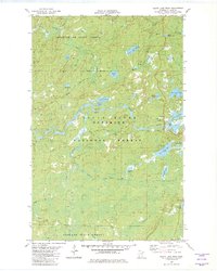 1981 Slate Lake West1982 Print · USGSLake County's wilderness is captured in the early eighties as a dense network of forests and waterways. Trace the remote settlement of Happy Wanderer or explore the drainage of the Stony River near Slate Lake and Jackpot Lake.2 unique versions available
 - 1981 Map of Bogberry Lake, 1982 Print
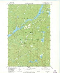 1981 Bogberry Lake1982 Print · USGSLake County, Minnesota, is shown here in the late seventies, a time when federal management shaped the northern wilderness. Track remote water routes and forestry sites like the Boundary Waters Canoe Area Wilderness and the Experiment Sta (USFS).2 unique versions available
 - 1981 Map of Isabella, 1982 Print
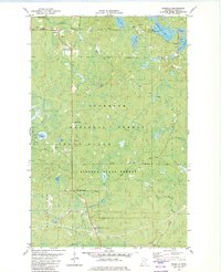 1981 Isabella1982 Print · USGSLake County was a center for timber and mineral transport in the early eighties, shown here through an intricate network of forest grades and waterways. Researchers can trace the Old Railroad Grade, locate the Isabella Memorial Cem, and explore the roads around Isabella and Murphy City.2 unique versions available
 - 1981 Map of Slate Lake East, 1982 Print
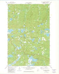 1981 Slate Lake East1982 Print · USGSThe northern wilderness of Lake County is captured here in the early 1980s, showcasing a pristine landscape of glacial lakes and river systems. Explorers and researchers can trace remote access points like Tomahawk Road, the grounds of Camp Buckskin, and the winding course of the Stony River.2 unique versions available
 - 1981 Map of Mitawan Lake, 1982 Print
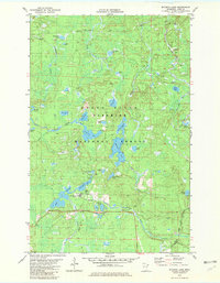 1981 Mitawan Lake1982 Print · USGSThe Superior National Forest is shown in the early 1980s as a landscape transitioning from its logging roots to a recreational wilderness. You can trace the Duluth and Iron Range Railroad (Abandoned) or locate lakefront sites like Mitawan Lake and the Environmental Center (USFS).2 unique versions available
 - 1981 Map of Quadga Lake, 1982 Print
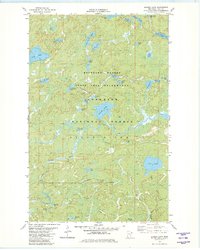 1981 Quadga Lake1982 Print · USGSThe Boundary Waters region in the early eighties was a pristine maze of glacial lakes and portage trails. Trace the historic canoe routes along the Isabella River and locate remote landmarks like Quadga Lake, Bog Lake, and the Tomahawk Road.2 unique versions available
Showing maps 1-25 of 145
Top neighborhoods of Stony River Township
- Baptism Crossing historical maps
- Forest Center historical maps
- Isabella historical maps
- Murphy City historical maps
- Winter historical maps
- Jay See Landing historical maps
See more
Frequently asked questions
- What are the different types of historical maps available for Stony River Township?
- What is the oldest map of Stony River Township?
- Where can I purchase historical maps of Stony River Township for my home or office?
- Where can I download high-res historical maps of Stony River Township?
- Are there historical topographic maps available for Stony River Township?
- Is there historical aerial imagery available for Stony River Township?
- Where are historical maps of Stony River Township sourced from?