2020s Maps of Lanesburgh Township, Minnesota
Explore 4 historic maps of Lanesburgh Township from the 2020s. These maps offer a rare glimpse into what life looked like during the 2020s — showing old roads, neighborhoods, homes, and landmarks that have changed or disappeared over time.
Whether you're researching your family's past, planning a metal detecting trip, or studying how Lanesburgh Township's landscape evolved across the 2020s, these high-resolution maps are a powerful tool for exploring the history of this region.
- Focus on a specific era: All maps on this page are from the 2020s, giving you a focused view of this time period.
- See what’s changed: Compare century-old streets, trails, and buildings to today's modern landscape using overlays and satellite layers.
- Research with precision: Use these maps for genealogy, historical research, land use analysis, or educational projects.
- View, download, or print: Maps are fully viewable online in high resolution, and can be downloaded or printed for your own records.
Start exploring Lanesburgh Township's history through authentic maps from the 2020s. This is your window into the past.
Lanesburgh Township, MN maps
(4)- 2022 Map of Montgomery, 2022 Print
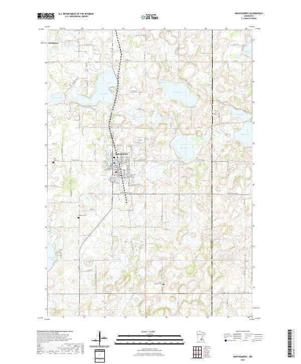 2022 Montgomery2022 Print · USGSThe Le Sueur and Rice County borderlands are shown here in detail during a period of modern rural stability. Researchers can trace family sites near Montgomery or locate historic burial grounds like Bohemian Cem and Saint Michael Cem.
 - 2022 Map of Le Center, 2022 Print
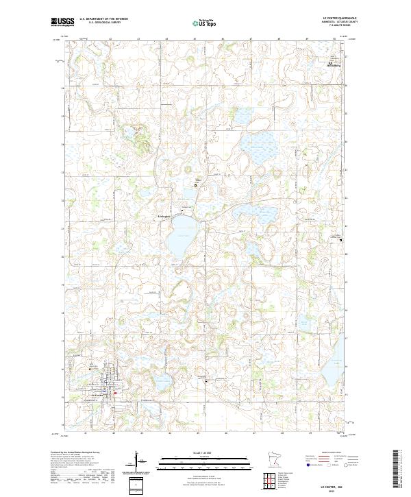 2022 Le Center2022 Print · USGSLe Sueur County at the start of the 2020s shows a sophisticated landscape of agriculture and water management. Researchers can locate several burial sites like Yankee Cem and Saint Marys Cem or trace the civic center at the Le Sueur County Courthouse.
 - 2022 Map of New Prague, 2022 Print
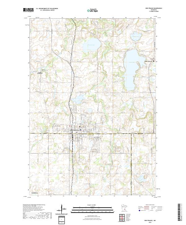 2022 New Prague2022 Print · USGSNew Prague and its surrounding townships appear here at the intersection of Scott, Le Sueur, and Rice counties during the early 2020s. Genealogists can locate family sites at Saint Wenceslaus Cem, Saint Benedict Cem, and the parish at Saint Patrick.
 - 2022 Map of Union Hill, 2022 Print
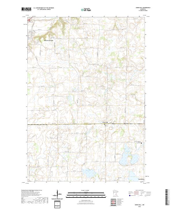 2022 Union Hill2022 Print · USGSThe Scott and Le Sueur county line comes alive in the early twenty-first century, showing a transition from the edge of Belle Plaine to rural farmsteads. Family historians can locate specific sites like Saint Johns Cem, Pomeranian Cem, and the quiet settlement of Heidelberg.
End of results
Showing maps 1-4 of 4
Top cities near Lanesburgh Township
- Shakopee historical maps
- Savage historical maps
- Prior Lake historical maps
- New Prague historical maps
- Credit River historical maps
- Jordan historical maps
See more
Frequently asked questions
- What are the different types of historical maps available for Lanesburgh Township?
- What is the oldest map of Lanesburgh Township?
- Where can I purchase historical maps of Lanesburgh Township for my home or office?
- Where can I download high-res historical maps of Lanesburgh Township?
- Are there historical topographic maps available for Lanesburgh Township?
- Is there historical aerial imagery available for Lanesburgh Township?
- Where are historical maps of Lanesburgh Township sourced from?