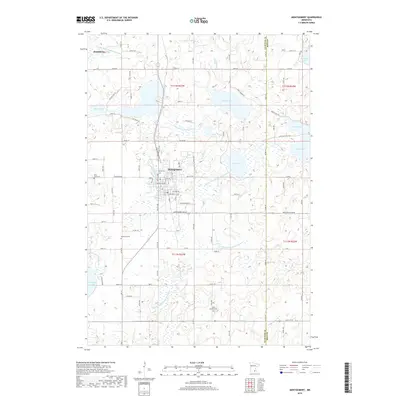
2022 Map of Montgomery
USGS Topo · Published 2022About this map
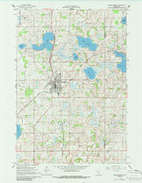
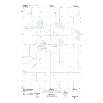
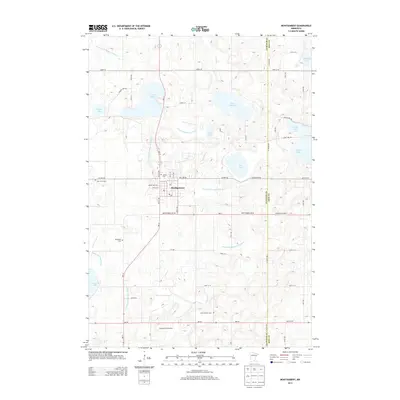
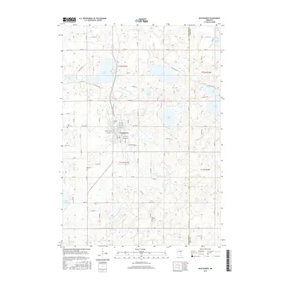
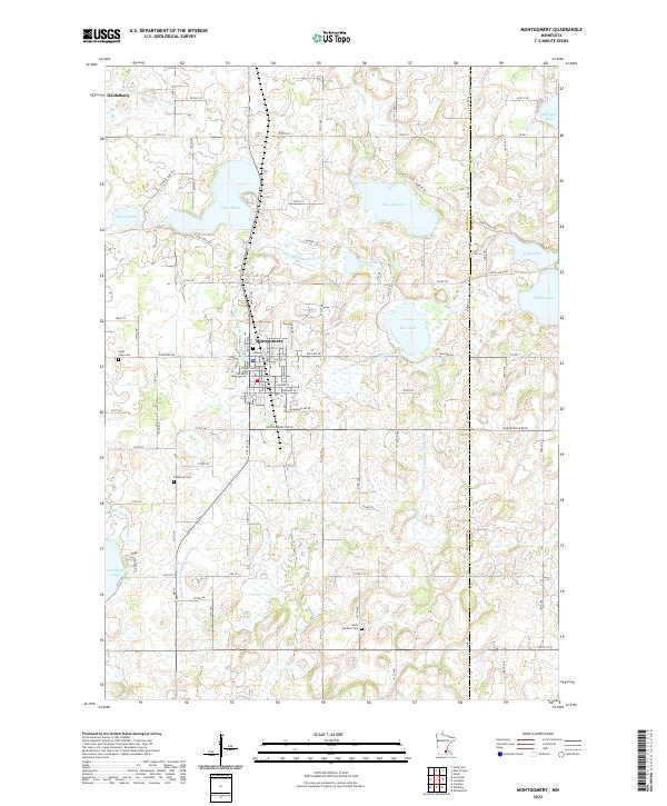
Montgomery serves as the central hub of this agricultural and lake-strewn landscape along the border of Le Sueur and Rice Counties. The settlement pattern is defined by a dense network of country roads and county ditches, such as County Ditch Number Eighteen and County Ditch Number Fortyfour, which manage the drainage between numerous glacial basins. Genealogists will find significant value in the distribution of local burial grounds, including Calvary Cem and Saint John Cem near the primary town, as well as the more remote Bohemian Cem and Saint Michael Cem to the south.
Find a feature on this map
100 named features on this map. Tap any name to fly to it.
Don’t see what you’re looking for? This feature index may not catch every label — zoom into the map to look around manually.
Map Details
Editions of this 2022 Montgomery Map
This is the sole edition of this map. No revisions or reprints were ever made.
Historical Maps of Montgomery Through Time
6 maps found