
1957 Map of Prior Lake
USGS Topo · Published 1958About this map
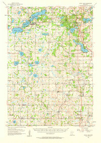
Prior Lake dominates the northern reaches of this mid-century landscape, surrounded by smaller water bodies like Spring Lake and Orchard Lake. The area reflects a transitional rural character during the 1950s, where several small villages like New Market, Elko, and Veseli serve as local anchors. A significant genealogical detail on this sheet is the explicit identification of several decommissioned educational sites, such as School No 47 (Abandoned) and School No 65 (Abandoned), which provide a clear record of the consolidating rural school districts of the era.
Find a feature on this map
85 named features on this map. Tap any name to fly to it.
Don’t see what you’re looking for? This feature index may not catch every label — zoom into the map to look around manually.
Map Details
Editions of this 1957 Prior Lake Map
2 editions found
Other maps of this area

1896 · Minneapolis
USGS Topo · 1:62,500

1896 · St. Paul
USGS Topo · 1:62,500

1901 · Minneapolis
USGS Topo · 1:62,500

1905 · Minnetonka
USGS Topo · 1:62,500

1907 · Minnetonka
USGS Topo · 1:62,500

1951 · St. Paul SW
USGS Topo · 1:24,000

1951 · St. Paul
USGS Topo · 1:62,500

1953 · Saint Paul
USGS Topo · 1:250,000

1954 · Bloomington
USGS Topo · 1:24,000

1954 · Eden Prairie
USGS Topo · 1:24,000