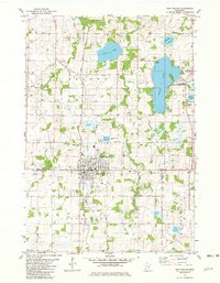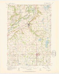
1957 Map of New Prague
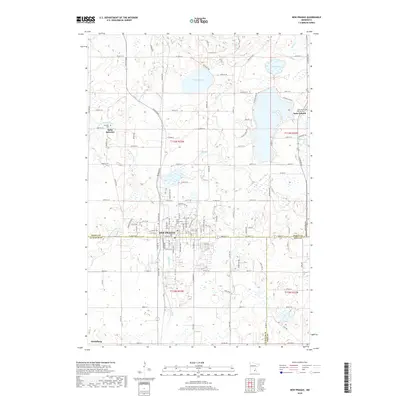
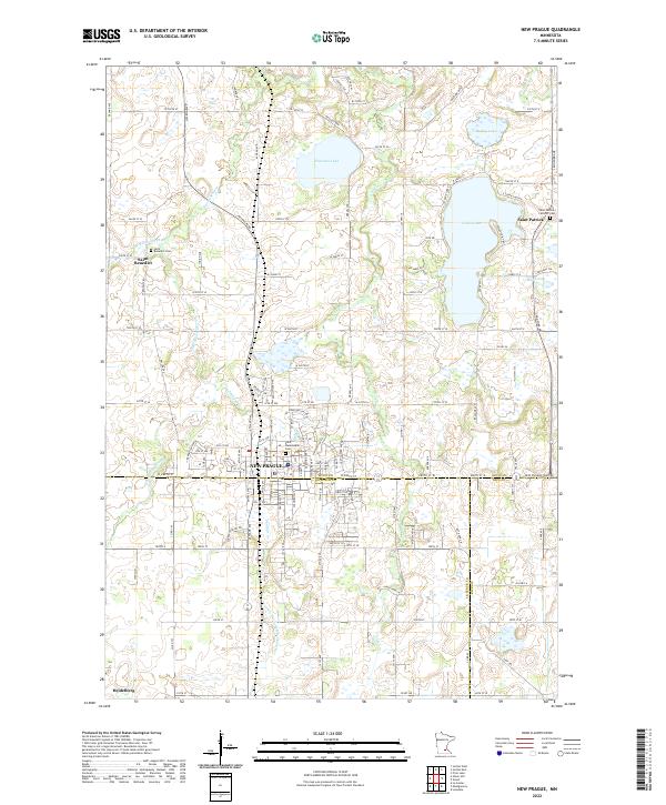
USGS Topo · Published 1959About this map
The Minnesota River meanders through the northwestern corner of this landscape, carving a wide valley defined by the Carver Slough and the expansive Louisville Swamp. By the late 1950s, this region of Scott County and Le Sueur County maintained a dense network of rural parish life and small-scale agriculture. Significant crossroads are anchored by local landmarks such as East Union Ch and Frieden Ch, while numerous one-room schoolhouses, including School No 50 and School No 61, are shown alongside those already marked as abandoned. The rail corridors of the Chicago And North Western and the Minneapolis And ST Louis connect the major hubs of New Prague and Jordan to the broader regional economy. The presence of specialized sites like the Mudbaden settlement and the Gaging Station on the river reflect the specific historical uses of the valley's water and mineral resources.
Find a feature on this map
85 named features on this map. Tap any name to fly to it.
Don’t see what you’re looking for? This feature index may not catch every label — zoom into the map to look around manually.
Map Details
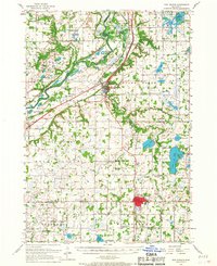
Editions of this 1957 New Prague Map
2 editions found
Historical Maps of Shakopee Through Time
7 maps found