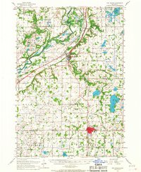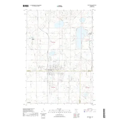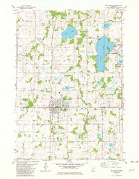
1981 Map of New Prague
USGS Topo · Published 1982About this map
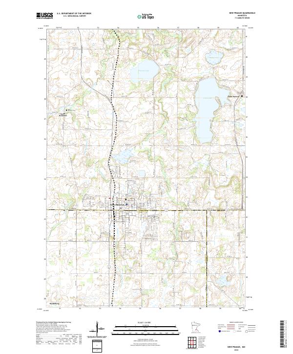
New Prague sits at the intersection of Scott and Le Sueur counties, serving as a significant regional hub during the early 1980s. The landscape is characterized by a dense network of water bodies and marshlands, including the sprawling Cedar Lake and the St Patrick State Wildlife Management Area. The town itself exhibits a structured grid including Memorial Park and the historic Sancti Wenceslai Cem, with the Chicago and North Western railroad corridor providing a vital industrial spine through the center of the settlement. To the north and south, smaller communities like St Benedict and Heidelberg punctuate a terrain defined by glacial lakes such as Pleasant Lake and Hickey Lake. This survey illustrates the era's balance between growing municipal infrastructure, seen in the Sewage Disposal Pond, and the preservation of the natural drainage systems of Sand Creek and Raven Stream.
Find a feature on this map
27 named features on this map. Tap any name to fly to it.
Don’t see what you’re looking for? This feature index may not catch every label — zoom into the map to look around manually.
Map Details
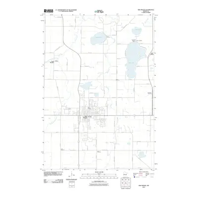
Editions of this 1981 New Prague Map
This is the sole edition of this map. No revisions or reprints were ever made.
Historical Maps of New Prague Through Time
7 maps found