
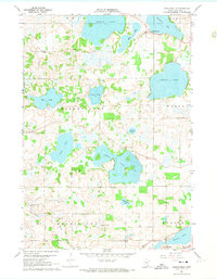
1960 Map of Shieldsville
USGS Topo · Published 1961About this map
The glacial lakes of northern Rice County define this landscape, with the settlement of Shieldsville acting as a central hub between Shields Lake and Mazaska Lake. This 1960 field-checked survey reveals a rural landscape deeply committed to local education, evidenced by the high density of district schoolhouses such as North Cedar Lake Sch, Trebon Sch, and Kennyville Sch. The terrain is dominated by a complex network of water bodies, including the large basins of French Lake and Cedar Lake, which are connected by marshlands and smaller tributaries like Devil Creek. In the southern portion of the quadrangle, the transition toward the Cannon River valley is marked by industrial activity at several Gravel Pits and the outskirts of Warsaw, providing a clear look at the mid-century intersection of agriculture, industry, and the natural lacustrine environment of southern Minnesota.
Find a feature on this map
31 named features on this map. Tap any name to fly to it.
Don’t see what you’re looking for? This feature index may not catch every label — zoom into the map to look around manually.
Map Details
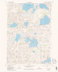
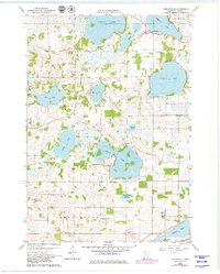
Editions of this 1960 Shieldsville Map
4 editions found
Other maps of this area

1953 · Saint Paul
USGS Topo · 1:250,000

1959 · Saint Paul
USGS Topo · 1:250,000

1960 · Faribault
USGS Topo · 1:24,000

1960 · Lonsdale
USGS Topo · 1:24,000

1960 · Little Chicago
USGS Topo · 1:24,000

1962 · Morristown
USGS Topo · 1:24,000

1962 · Medford West
USGS Topo · 1:24,000

1966 · Montgomery
USGS Topo · 1:24,000

1966 · Waterville
USGS Topo · 1:24,000
1966 · Kilkenny
USGS Topo · 1:24,000