Old Maps of Montgomery Township, Minnesota for Hiking & Exploration
Hike through history with 27 historic maps of Montgomery Township. Explore old trails, ghost towns, and forgotten backroads — perfect for outdoor adventurers and local explorers.
- Rediscover forgotten places: Map out old mining camps, roads, and footpaths that no longer exist on modern maps.
- Layer with modern tools: Combine with LiDAR or satellite views to plan hikes through historical terrain.
- Made for exploration: Popular among hikers, overlanders, and local history lovers.
Use these maps to find adventure and explore the hidden past of Montgomery Township.
Montgomery Township, MN maps
(27)- 1953 Map of Saint Paul, 1964 Print
 1953 Saint Paul1964 Print · USGSThe Twin Cities and the Mississippi River valley are captured here at a mid-century turning point. Trace the early growth of Minneapolis and Saint Paul alongside landmarks like Lake Minnetonka and the St Croix River.4 unique versions available
 - 1959 Map of Saint Paul
 1959 Saint Paul1959 Print · USGSThe Twin Cities and southeastern Minnesota appear here in the late fifties, showing the peak of the rail era and post-war suburban growth. Genealogists can trace family footprints near Lake Minnetonka, the Univ Of Minn Rosemount Research Center, or the growing neighborhoods of Richfield.2 unique versions available
 - 1966 Map of Montgomery, 1967 Print
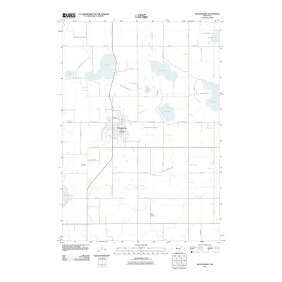
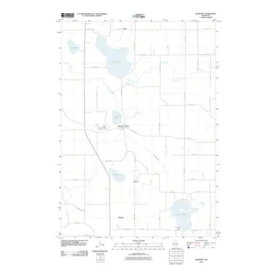
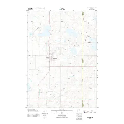
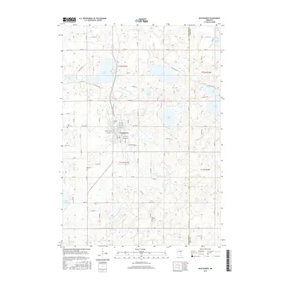
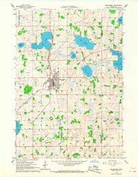 1966 Montgomery1967 Print · USGSLe Sueur and Rice counties are captured here in the mid-sixties, centered on the rail hub of Montgomery. Genealogists and local historians can trace family roots through numerous sites like Bohemian Cem, St Michael Cem, and the old High School.2 unique versions available
 - 1966 Map of Cordova, 1968 Print
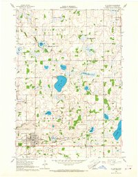
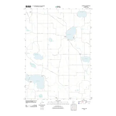
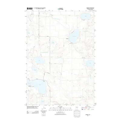
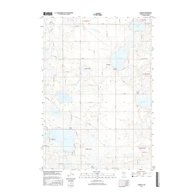
 1966 Cordova1968 Print · USGSLe Sueur County was a landscape of glacial lakes and managed wildlife areas in the mid-sixties. Genealogists and researchers can trace family landmarks like St Peters Ch, Gorman Cem, and the old settlement of Cordova.2 unique versions available
 - 1966 Map of Le Center, 1968 Print
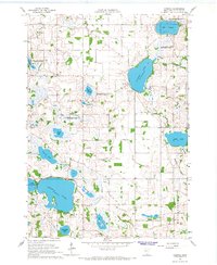
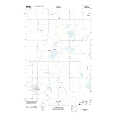
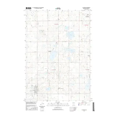
 1966 Le Center1968 Print · USGSThe township boundaries of southern Minnesota meet here during the mid-sixties, centered on the hub of Le Center. Genealogists and local historians can trace the sites of Yankee Cem, St John Ch, and the winding Milwaukee Road railroad line.2 unique versions available
 - 1966 Map of Kilkenny, 1968 Print
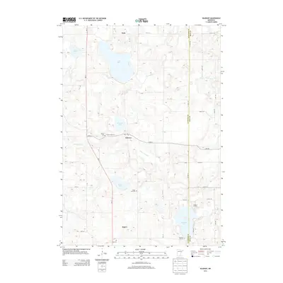
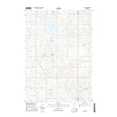
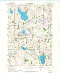 1966 Kilkenny1968 Print · USGSThe lake-dotted landscape of Le Sueur County is captured here in the mid-1960s, centered on the railroad town of Kilkenny. Researchers can trace old family lines near Calvary Cem and locate historic hamlets like Doyle and Rogers along the rail line.2 unique versions available
 - 1985 Map of Faribault, 1986 Print
 1985 Faribault1986 Print · USGSThe Minnesota River valley and the glacial lake country of Rice and Le Sueur counties are shown here in the mid-1980s. Researchers can trace the academic grounds of St Olaf College or find old crossroads like Trondhjem and Little Chicago.2 unique versions available
 - 2010 Map of Le Center, 2010 Print
 2010 Le Center2010 Print · USGSCovers Montgomery Township, including Le Center, Lexington, and other nearby areas
 - 2010 Map of Cordova, 2010 Print
 2010 Cordova2010 Print · USGSCovers Montgomery Township, including Le Center, Cordova, and other nearby areas
 - 2010 Map of Montgomery, 2010 Print
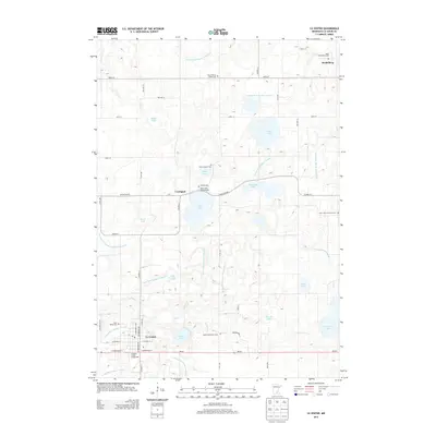
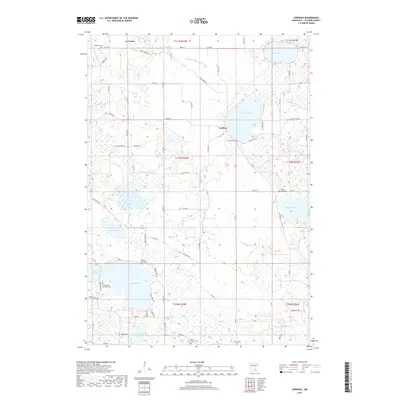
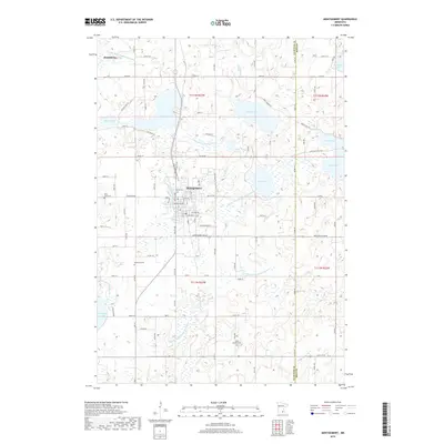
 2010 Montgomery2010 Print · USGSCovers Montgomery Township, including Montgomery, Heidelberg, and other nearby areas
 - 2010 Map of Kilkenny, 2010 Print
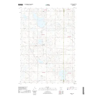
 2010 Kilkenny2010 Print · USGSCovers Montgomery Township, including Kilkenny, Doyle, and other nearby areas
 - 2013 Map of Le Center, 2013 Print
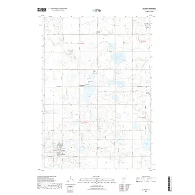
 2013 Le Center2013 Print · USGSCovers Montgomery Township, including Le Center, Lexington, and other nearby areas
 - 2013 Map of Cordova, 2013 Print
 2013 Cordova2013 Print · USGSCovers Montgomery Township, including Le Center, Cordova, and other nearby areas
 - 2013 Map of Montgomery, 2013 Print
 2013 Montgomery2013 Print · USGSCovers Montgomery Township, including Montgomery, Heidelberg, and other nearby areas
 - 2013 Map of Kilkenny, 2013 Print
 2013 Kilkenny2013 Print · USGSCovers Montgomery Township, including Kilkenny, Doyle, and other nearby areas
 - 2016 Map of Cordova, 2016 Print
 2016 Cordova2016 Print · USGSCovers Montgomery Township, including Le Center, Cordova, and other nearby areas
 - 2016 Map of Montgomery, 2016 Print
 2016 Montgomery2016 Print · USGSCovers Montgomery Township, including Montgomery, Heidelberg, and other nearby areas
 - 2016 Map of Kilkenny, 2016 Print
 2016 Kilkenny2016 Print · USGSCovers Montgomery Township, including Kilkenny, Doyle, and other nearby areas
 - 2016 Map of Le Center, 2016 Print
 2016 Le Center2016 Print · USGSCovers Montgomery Township, including Le Center, Lexington, and other nearby areas
 - 2019 Map of Cordova, 2019 Print
 2019 Cordova2019 Print · USGSCovers Montgomery Township, including Le Center, Cordova, and other nearby areas
 - 2019 Map of Kilkenny, 2019 Print
 2019 Kilkenny2019 Print · USGSCovers Montgomery Township, including Kilkenny, Doyle, and other nearby areas
 - 2019 Map of Montgomery, 2019 Print
 2019 Montgomery2019 Print · USGSCovers Montgomery Township, including Montgomery, Heidelberg, and other nearby areas
 - 2019 Map of Le Center, 2019 Print
 2019 Le Center2019 Print · USGSCovers Montgomery Township, including Le Center, Lexington, and other nearby areas
 - 2022 Map of Montgomery, 2022 Print
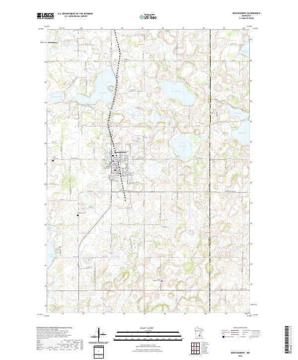 2022 Montgomery2022 Print · USGSThe Le Sueur and Rice County borderlands are shown here in detail during a period of modern rural stability. Researchers can trace family sites near Montgomery or locate historic burial grounds like Bohemian Cem and Saint Michael Cem.
 - 2022 Map of Cordova, 2022 Print
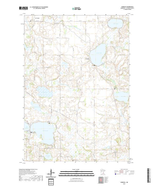 2022 Cordova2022 Print · USGSLe Sueur County's lake-strewn landscape is captured here in the early twenty-first century, showing the rural community of Cordova and the surrounding farmsteads. Researchers can locate many local burial sites, from Gorman Cem to Phebe Jones Lakeside Cem, alongside landmarks like Sabre Lake.
Showing maps 1-25 of 27
Top cities near Montgomery Township
- New Prague historical maps
- Credit River historical maps
- Belle Plaine historical maps
- Elko New Market historical maps
- Montgomery historical maps
- Lonsdale historical maps
See more
Top neighborhoods of Montgomery Township
Frequently asked questions
- What are the different types of historical maps available for Montgomery Township?
- What is the oldest map of Montgomery Township?
- Where can I purchase historical maps of Montgomery Township for my home or office?
- Where can I download high-res historical maps of Montgomery Township?
- Are there historical topographic maps available for Montgomery Township?
- Is there historical aerial imagery available for Montgomery Township?
- Where are historical maps of Montgomery Township sourced from?