Old Maps of Ivanhoe, Minnesota for Metal Detecting
Plan your next treasure hunt with 15 historic maps of Ivanhoe. Find old homesites, ghost towns, trails, and gathering spots that may be lost to time — perfect for identifying promising metal detecting locations.
- Locate forgotten sites: Uncover places like long-lost settlements, abandoned rail lines, or gathering spots.
- Plan better hunts: Use map overlays combined with LiDAR or satellite views to narrow in on historically rich areas.
- Made for detectorists: Thousands of hobbyists use these maps to discover relics, coins, and hidden history.
Use these historic maps to boost your research and find new opportunities beneath the surface of Ivanhoe.
Ivanhoe, MN maps
(15)- 1953 Map of Watertown, 1968 Print
 1953 Watertown1968 Print · USGSEastern South Dakota and the Minnesota borderlands are captured here during the mid-twentieth century as the region's agricultural and rail-service centers thrived. Genealogists and local historians can trace family-named sites across the Coteau des Prairies and find landmarks in Watertown, De Smet, and Brookings.3 unique versions available
 - 1958 Map of Watertown
 1958 Watertown1958 Print · USGSThe eastern South Dakota prairie and the Minnesota borderlands are captured here in the late fifties, showcasing a landscape of terminal moraine lakes and burgeoning rail hubs. Genealogists and historians can trace the early paths of the Chicago and North Western railroad or locate family roots in Watertown, Clark, or the Sisseton Indian Reservation.2 unique versions available
 - 1963 Map of Arco, 1964 Print
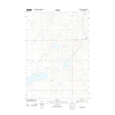
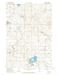 1963 Arco1964 Print · USGSThe rail-and-prairie landscape of Lincoln County comes alive in this early 1960s survey of the Chicago and North Western corridor. Trace the development of Ivanhoe and Arco, and locate local landmarks like the Icelandic Ch and Lake Stay.
 - 1967 Map of Lake Benton NE, 1969 Print
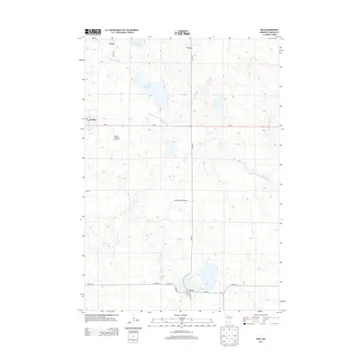
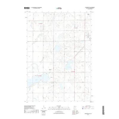
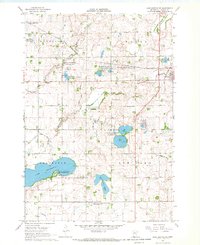 1967 Lake Benton NE1969 Print · USGSLincoln County’s prairie landscape is captured here in the late sixties, showing the agricultural and conservation footprint around Ivanhoe. Local historians can trace early settlement through the West Elim Cem, the iron rails of the Chicago and North Western, and Shaokatan Lake.
 - 1985 Map of Brookings
 1985 Brookings1985 Print · USGSThe South Dakota and Minnesota borderlands in the mid-1980s are defined here by a network of prairie lakes and bustling rail corridors. Researchers can trace the path of the Chicago and North Western through Brookings or explore the numerous wetlands of Oakwood Lakes State Park.2 unique versions available
 - 2010 Map of Arco, 2010 Print
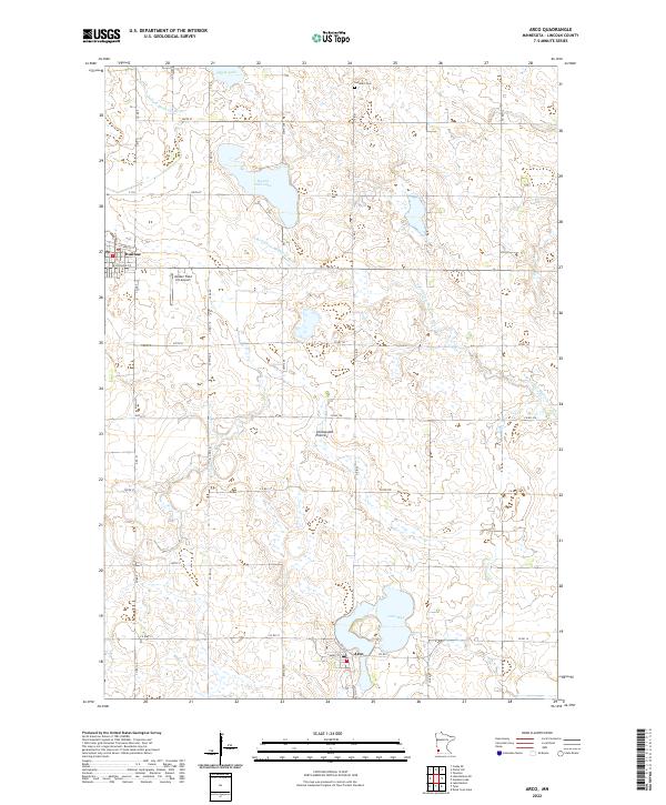
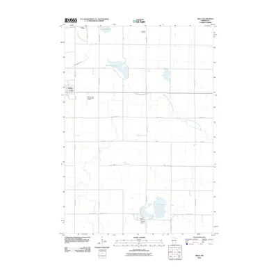 2010 Arco2010 Print · USGSCovers Ivanhoe, including Arco, Wilno, and other nearby areas
 - 2010 Map of Lake Benton NE, 2010 Print
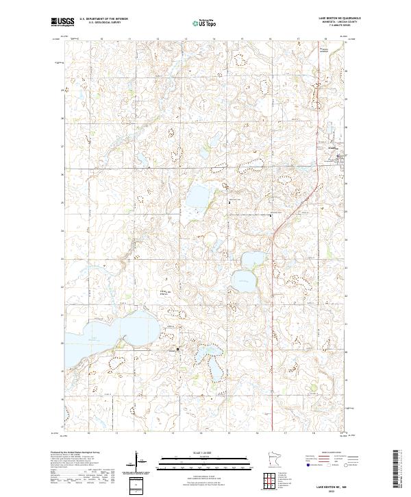
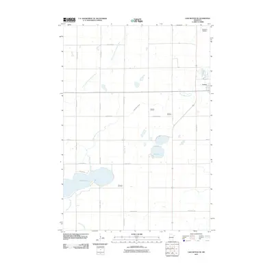 2010 Lake Benton NE2010 Print · USGSCovers Ivanhoe, including Lincoln County, United States, and other nearby areas
 - 2013 Map of Lake Benton NE, 2013 Print
 2013 Lake Benton NE2013 Print · USGSCovers Ivanhoe, including Lincoln County, United States, and other nearby areas
 - 2013 Map of Arco, 2013 Print
 2013 Arco2013 Print · USGSCovers Ivanhoe, including Arco, Wilno, and other nearby areas
 - 2016 Map of Lake Benton NE, 2016 Print
 2016 Lake Benton NE2016 Print · USGSCovers Ivanhoe, including Lincoln County, United States, and other nearby areas
 - 2016 Map of Arco, 2016 Print
 2016 Arco2016 Print · USGSCovers Ivanhoe, including Arco, Wilno, and other nearby areas
 - 2019 Map of Lake Benton NE, 2019 Print
 2019 Lake Benton NE2019 Print · USGSCovers Ivanhoe, including Lincoln County, United States, and other nearby areas
 - 2019 Map of Arco, 2019 Print
 2019 Arco2019 Print · USGSCovers Ivanhoe, including Arco, Wilno, and other nearby areas
 - 2022 Map of Arco, 2022 Print
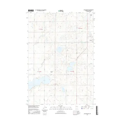
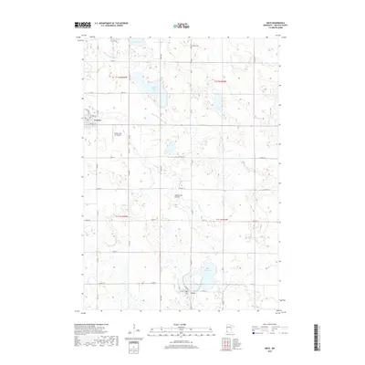
 2022 Arco2022 Print · USGSLincoln County’s glacial prairie landscape is documented here in the early twenty-first century, centered on the lakeside community of Arco. Genealogists and local historians can locate the Icelandic Cem and trace the shores of Lake Stay and Hawks Nest Lake.
 - 2022 Map of Lake Benton NE, 2022 Print
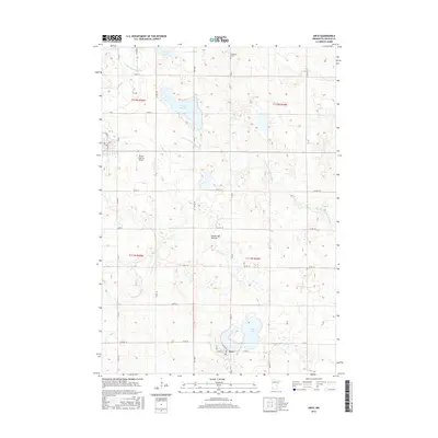
 2022 Lake Benton NE2022 Print · USGSLincoln County’s prairie highlands come to life in this recent look at the agricultural landscape near Ivanhoe. Trace local family roots and early settlements through features like Lake Shaokatan, West Elim Cem, and the Lincoln County Government Center.
End of results
Showing maps 1-15 of 15
Top cities near Ivanhoe
- Tyler historical maps
- Hendricks historical maps
- Lake Benton historical maps
- Elkton historical maps
- Taunton historical maps
- Porter historical maps
See more
Frequently asked questions
- What are the different types of historical maps available for Ivanhoe?
- What is the oldest map of Ivanhoe?
- Where can I purchase historical maps of Ivanhoe for my home or office?
- Where can I download high-res historical maps of Ivanhoe?
- Are there historical topographic maps available for Ivanhoe?
- Is there historical aerial imagery available for Ivanhoe?
- Where are historical maps of Ivanhoe sourced from?