Old Maps of Mahkonce, Minnesota for Genealogy
Trace your family roots with 10 historic maps of Mahkonce. These high-res maps reveal old neighborhoods, homesites, landmarks, and streets — helping you uncover where your ancestors lived and how the area evolved over time.
- Explore historic neighborhoods: Identify where your relatives may have lived in the 1800s or 1900s.
- Compare maps over time: Trace the changes in streets, buildings, and landmarks for multi-generational research.
- Perfect for genealogy & ancestry research: Used by family historians and researchers to map out lineage and migration.
These maps are an incredible resource for exploring your personal connection to Mahkonce's past.
Mahkonce, MN maps
(10)- 1954 Map of Bemidji, 1966 Print
 1954 Bemidji1966 Print · USGSNorthern Minnesota's lake country and timberlands are captured here at a mid-century peak of rail and road expansion. Genealogists and historians can trace family roots through numerous small settlements like Mahnomen, Clearbrook, and Walker, while locating local landmarks such as White Earth Church.4 unique versions available
 - 1957 Map of Bemidji
 1957 Bemidji1957 Print · USGSNorthern Minnesota in the mid-fifties is defined by its massive lake systems and the sprawling timberlands of the Chippewa National Forest. Genealogists and researchers can trace old rail lines like the Great Northern RR and locate settlements such as Moberg, Naytahwaush, and Lake Itasca.
 - 1958 Map of Bemidji
 1958 Bemidji1958 Print · USGSNorthern Minnesota in the late fifties is a vast landscape of tribal lands and timber forests tied together by rail. Genealogists and researchers can trace old rail stops and lakeside communities from Walker to Fosston, or explore the source of the Mississippi at Lake Itasca.
 - 1969 Map of Roy Lake, 1971 Print
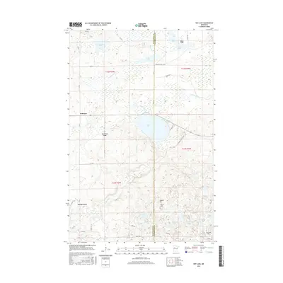
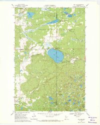 1969 Roy Lake1971 Print · USGSThe White Earth Indian Reservation in the late sixties reveals a landscape defined by deep woods and a dense network of glacial lakes. Local historians can trace the foundations of Naytahwaush and Mahkonce, or locate landmarks like the Cem. and Townhall.
 - 1985 Map of Lake Itasca
 1985 Lake Itasca1985 Print · USGSNorthwestern Minnesota’s forest and lake country is captured here in the mid-1980s, centered on the White Earth Indian Reservation. Researchers can trace the Burlington Northern line and locate local landmarks like Elbow Lake Village, Naytahwaush, and Itasca State Park.2 unique versions available
 - 2011 Map of Roy Lake, 2011 Print
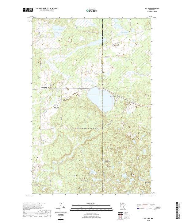
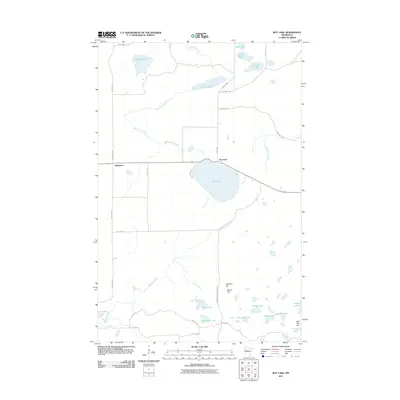 2011 Roy Lake2011 Print · USGSCovers Mahkonce, including Roy Lake, Mahnomen County, and other nearby areas
 - 2013 Map of Roy Lake, 2013 Print
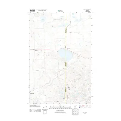 2013 Roy Lake2013 Print · USGSCovers Mahkonce, including Roy Lake, Mahnomen County, and other nearby areas
 - 2016 Map of Roy Lake, 2016 Print
 2016 Roy Lake2016 Print · USGSCovers Mahkonce, including Roy Lake, Mahnomen County, and other nearby areas
 - 2019 Map of Roy Lake, 2019 Print
 2019 Roy Lake2019 Print · USGSCovers Mahkonce, including Roy Lake, Mahnomen County, and other nearby areas
 - 2022 Map of Roy Lake, 2022 Print
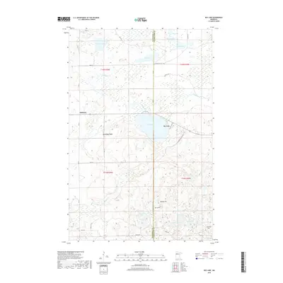
 2022 Roy Lake2022 Print · USGSMahnomen and Clearwater counties are captured in this contemporary look at the northern Minnesota lake country. Genealogists and outdoor historians can trace the rural routes around Mahkonce, Roy Lake, and landmarks like Hogback Hill or Norris Hill.
End of results
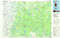
Showing maps 1-10 of 10
Top cities near Mahkonce
Frequently asked questions
- What are the different types of historical maps available for Mahkonce?
- What is the oldest map of Mahkonce?
- Where can I purchase historical maps of Mahkonce for my home or office?
- Where can I download high-res historical maps of Mahkonce?
- Are there historical topographic maps available for Mahkonce?
- Is there historical aerial imagery available for Mahkonce?
- Where are historical maps of Mahkonce sourced from?