Old Maps of Dailey Township, Minnesota for Academic Research
Study the evolution of Dailey Township with 19 high-resolution historic maps. Whether you're teaching, researching, or modeling changes in land use, these maps provide essential visual documentation of urban, environmental, and geographic change.
- Analyze long-term change: Track patterns in development, transportation, and natural features.
- Ideal for environmental or urban studies: Support academic projects with primary historical map data.
- Use in the classroom or lab: Educators and researchers rely on these maps to bring historical context to life.
These maps are a powerful tool for teaching, research, and visualizing how Dailey Township has changed over the decades.
Dailey Township, MN maps
(19)- 1953 Map of Stillwater, 1980 Print
 1953 Stillwater1980 Print · USGSThe Twin Cities and the St. Croix Valley are captured in this mid-century survey as the interstate era began to transform the Upper Midwest. Genealogists and historians can trace the rail-and-river geography of Stillwater, locate landmarks in Anoka, or explore the sprawling St Croix State Park.
 - 1955 Map of Stillwater, 1965 Print
 1955 Stillwater1965 Print · USGSThe Upper St. Croix Valley and the growing Twin Cities area are shown here during the mid-fifties, before the interstate era transformed the regional commute. You can trace the lines of the Northern Pacific RR through towns like Rush City or locate the Saint Croix Indian Reservation.
 - 1958 Map of Stillwater
 1958 Stillwater1958 Print · USGSThe Upper Mississippi and St. Croix River valleys appear in the mid-fifties as the Twin Cities expanded north. Genealogists can locate family landmarks like Oak Park Cem, Saint Michael Church, and the Soo Line RR rail corridors.2 unique versions available
 - 1965 Map of Stillwater
 1965 Stillwater1965 Print · USGSThe Twin Cities and the St. Croix Valley are mapped here during a period of significant post-war growth and industrial transit. Genealogists and historians can trace rail lines like the Northern Pacific RR through towns such as Rush City, Amery, and Balsam Lake.
 - 1968 Map of Ramey NE, 1970 Print
 1968 Ramey NE1970 Print · USGSNear the border of Morrison and Mille Lacs counties in the late sixties, this survey shows a landscape of wetlands and winding brooks. Genealogists and local historians can locate School No 1228, the local Townhall, and early extraction sites like a Sandpit and Gravel Pit.
 - 1968 Map of Page, 1970 Print
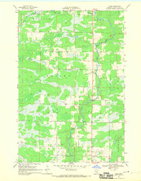 1968 Page1970 Print · USGSThe Rum River valley in the late sixties reveals a quiet landscape of riverside settlements and managed timberlands. Genealogists and local researchers can trace family lands near Page or locate the old Gravel Pits and Wayside Park along the river's winding path.2 unique versions available
 - 1975 Map of Stillwater
 1975 Stillwater1975 Print · USGSThe Twin Cities and the St. Croix Valley are captured in the mid-seventies, showing the urban growth of Minneapolis and St Paul. Researchers can trace old rail corridors of the Northern Pacific RR and locate tribal lands at the Mille Lacs Indian Reservation.2 unique versions available
 - 1985 Map of Mora
 1985 Mora1985 Print · USGSCentral Minnesota's river valleys and farming hubs are captured here in the mid-eighties, showing the region before significant modern expansion. Researchers can trace historic rail lines like the Burlington Northern and locate community landmarks in Mora, Milaca, and Princeton.
 - 1991 Map of Mora
 1991 Mora1991 Print · USGSThe Rum River valley and central Minnesota lakelands are shown in great detail in the early 1990s. Genealogists and local historians can trace rural school locations, family cemeteries, and local landmarks like St. Marys Ch or the Municipal Airport in Mora.
 - 2010 Map of Page, 2010 Print
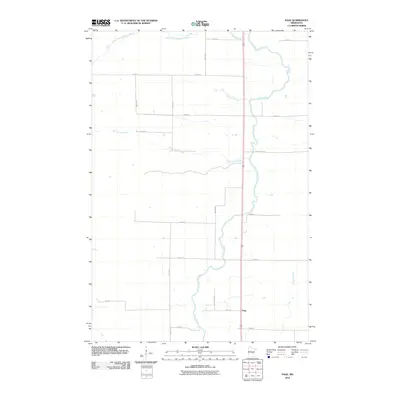 2010 Page2010 Print · USGSPage Township at the end of the first decade of the new millennium shows a rural landscape anchored by the Rum River. Genealogists and local historians can trace property boundaries and access points along Burnt Lane Brook and the small settlement of Page.
 - 2010 Map of Ramey NE, 2010 Print
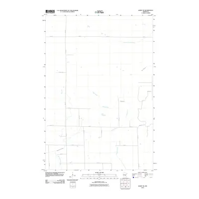 2010 Ramey NE2010 Print · USGSPage Township in the early 2010s remains a landscape defined by its waterways and a quiet rural road network. Genealogists and historians can trace property boundaries along Sage Rd and follow the natural course of Tibbetts Brook or the West Branch Rum River.
 - 2013 Map of Page, 2013 Print
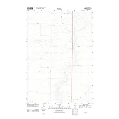 2013 Page2013 Print · USGSPage Township in the early twenty-first century remains defined by its rural intersections and the winding path of the Rum River. Genealogists and local historians can trace the grid of section-line roads and family-named waterways like Robinson Brook and Whitney Brook.
 - 2013 Map of Ramey NE, 2013 Print
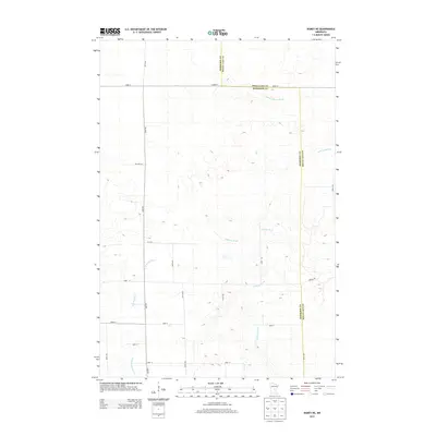 2013 Ramey NE2013 Print · USGSThis rural portion of Mille Lacs and Morrison counties is captured in the early 21st century, showing the grid of roads and waterways. Genealogists and local researchers can trace family lands along Sage Rd or follow the paths of Tibbetts Brook and the W Br Rum River.
 - 2016 Map of Page, 2016 Print
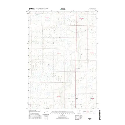 2016 Page2016 Print · USGSPage Township in the mid-2010s remains a landscape shaped by water and the grid of rural Minnesota life. Researchers can trace the winding Rum River and find local landmarks such as Page, Bradbury Brook, and the intersection of Co Rd 8.
 - 2016 Map of Ramey NE, 2016 Print
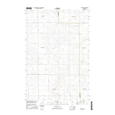 2016 Ramey NE2016 Print · USGSThe Morrison and Mille Lacs county line was surveyed here in the mid-2010s, revealing a landscape defined by prairie wetlands and small streams. Local historians can trace the headwaters of the W Br Rum River and the paths of Tibbetts Brook and Sage Rd.
 - 2019 Map of Page, 2019 Print
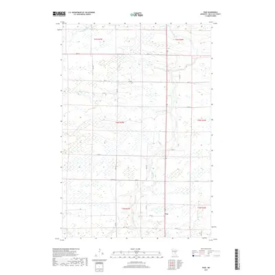 2019 Page2019 Print · USGSPage Township in the late twenty-teens is a landscape defined by its waterways and a rigid section-line road grid. Genealogists and local historians can trace the paths of the Rum River and find the small settlement of Page near the junction of Co Rd 19.
 - 2019 Map of Ramey NE, 2019 Print
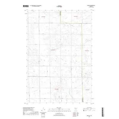 2019 Ramey NE2019 Print · USGSPage Township and the surrounding rural borderlands of Mille Lacs and Morrison counties are shown here as they appeared in 2019. Local researchers can trace the course of the W Br Rum River and locate family lands along Sage Rd or Co Rd 39.
 - 2022 Map of Page, 2022 Print
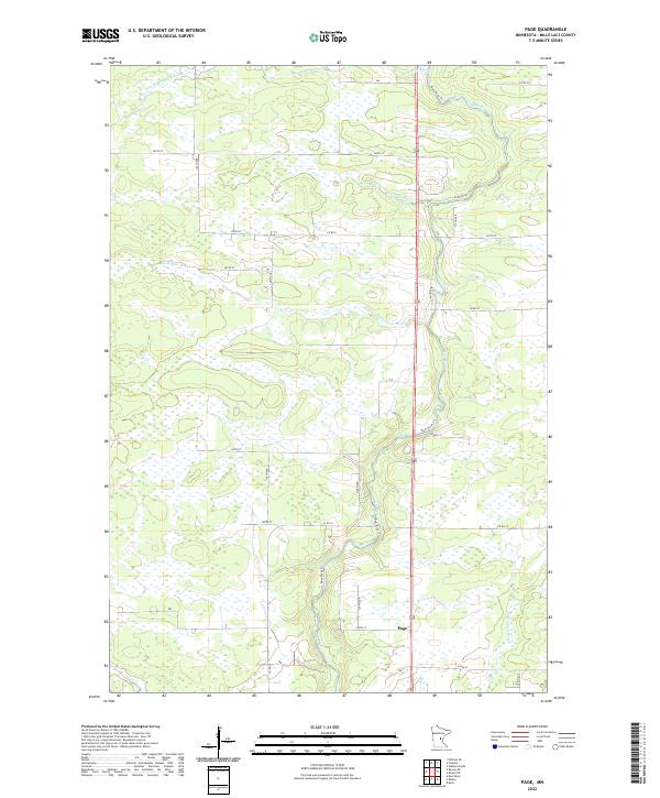 2022 Page2022 Print · USGSMille Lacs County in the early 2020s remains a landscape defined by its wetlands and the winding course of the Rum River. Genealogists and local historians can trace the rural network around Page and the banks of Robinson Brook or Burnt Lane Brook.
 - 2022 Map of Ramey NE, 2022 Print
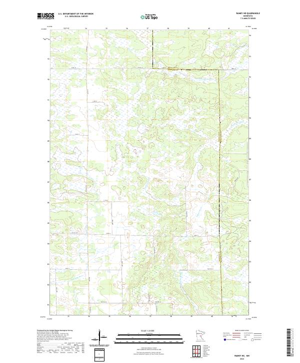 2022 Ramey NE2022 Print · USGSMorrison and Mille Lacs counties are shown here in the early twenty-first century, revealing a landscape dominated by complex wetland systems. Researchers can trace the drainage of Tibbetts Brook, the W Br Rum River, and S Fork Bradbury Brook across a rural grid of roads like Sage Rd.
End of results
Showing maps 1-19 of 19
Top cities near Dailey Township
- Milaca historical maps
- Onamia historical maps
- Isle historical maps
- Foreston historical maps
- Wahkon historical maps
- Bock historical maps
See more
Frequently asked questions
- What are the different types of historical maps available for Dailey Township?
- What is the oldest map of Dailey Township?
- Where can I purchase historical maps of Dailey Township for my home or office?
- Where can I download high-res historical maps of Dailey Township?
- Are there historical topographic maps available for Dailey Township?
- Is there historical aerial imagery available for Dailey Township?
- Where are historical maps of Dailey Township sourced from?