Old Maps of Mudgett Township, Minnesota for Hiking & Exploration
Hike through history with 19 historic maps of Mudgett Township. Explore old trails, ghost towns, and forgotten backroads — perfect for outdoor adventurers and local explorers.
- Rediscover forgotten places: Map out old mining camps, roads, and footpaths that no longer exist on modern maps.
- Layer with modern tools: Combine with LiDAR or satellite views to plan hikes through historical terrain.
- Made for exploration: Popular among hikers, overlanders, and local history lovers.
Use these maps to find adventure and explore the hidden past of Mudgett Township.
Mudgett Township, MN maps
(19)- 1953 Map of Stillwater, 1980 Print
 1953 Stillwater1980 Print · USGSThe Twin Cities and the St. Croix Valley are captured in this mid-century survey as the interstate era began to transform the Upper Midwest. Genealogists and historians can trace the rail-and-river geography of Stillwater, locate landmarks in Anoka, or explore the sprawling St Croix State Park.
 - 1955 Map of Stillwater, 1965 Print
 1955 Stillwater1965 Print · USGSThe Upper St. Croix Valley and the growing Twin Cities area are shown here during the mid-fifties, before the interstate era transformed the regional commute. You can trace the lines of the Northern Pacific RR through towns like Rush City or locate the Saint Croix Indian Reservation.
 - 1958 Map of Stillwater
 1958 Stillwater1958 Print · USGSThe Upper Mississippi and St. Croix River valleys appear in the mid-fifties as the Twin Cities expanded north. Genealogists can locate family landmarks like Oak Park Cem, Saint Michael Church, and the Soo Line RR rail corridors.2 unique versions available
 - 1965 Map of Stillwater
 1965 Stillwater1965 Print · USGSThe Twin Cities and the St. Croix Valley are mapped here during a period of significant post-war growth and industrial transit. Genealogists and historians can trace rail lines like the Northern Pacific RR through towns such as Rush City, Amery, and Balsam Lake.
 - 1968 Map of Milaca NE, 1970 Print
 1968 Milaca NE1970 Print · USGSMille Lacs and Kanabec counties are shown in the late sixties as a network of conservation lands and rural outposts. Researchers can trace the locations of the North Fork Sch, the Mille Lacs Lookout Tower, and a local Townhall.
 - 1968 Map of Page, 1970 Print
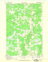 1968 Page1970 Print · USGSThe Rum River valley in the late sixties reveals a quiet landscape of riverside settlements and managed timberlands. Genealogists and local researchers can trace family lands near Page or locate the old Gravel Pits and Wayside Park along the river's winding path.2 unique versions available
 - 1975 Map of Stillwater
 1975 Stillwater1975 Print · USGSThe Twin Cities and the St. Croix Valley are captured in the mid-seventies, showing the urban growth of Minneapolis and St Paul. Researchers can trace old rail corridors of the Northern Pacific RR and locate tribal lands at the Mille Lacs Indian Reservation.2 unique versions available
 - 1985 Map of Mora
 1985 Mora1985 Print · USGSCentral Minnesota's river valleys and farming hubs are captured here in the mid-eighties, showing the region before significant modern expansion. Researchers can trace historic rail lines like the Burlington Northern and locate community landmarks in Mora, Milaca, and Princeton.
 - 1991 Map of Mora
 1991 Mora1991 Print · USGSThe Rum River valley and central Minnesota lakelands are shown in great detail in the early 1990s. Genealogists and local historians can trace rural school locations, family cemeteries, and local landmarks like St. Marys Ch or the Municipal Airport in Mora.
 - 2010 Map of Page, 2010 Print
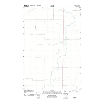 2010 Page2010 Print · USGSPage Township at the end of the first decade of the new millennium shows a rural landscape anchored by the Rum River. Genealogists and local historians can trace property boundaries and access points along Burnt Lane Brook and the small settlement of Page.
 - 2010 Map of Milaca NE, 2010 Print
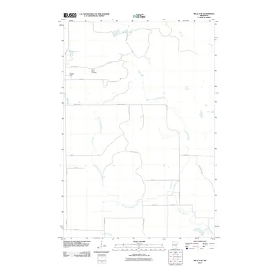 2010 Milaca NE2010 Print · USGSThe Mille Lacs County wetlands and timberlands are captured here during a period of modern forest and water management. Researchers can trace the winding Groundhouse River and locate specific landmarks like the Mille Lacs Lookout Tower and William Mills Pond Dam.
 - 2013 Map of Page, 2013 Print
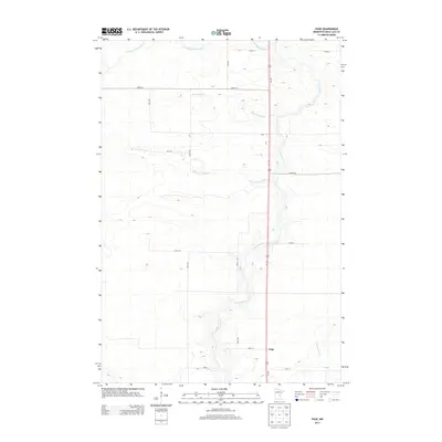 2013 Page2013 Print · USGSPage Township in the early twenty-first century remains defined by its rural intersections and the winding path of the Rum River. Genealogists and local historians can trace the grid of section-line roads and family-named waterways like Robinson Brook and Whitney Brook.
 - 2013 Map of Milaca NE, 2013 Print
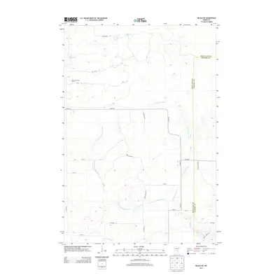 2013 Milaca NE2013 Print · USGSMille Lacs and Kanabec counties meet in this 2013 survey of the Central Minnesota woodlands. Genealogists and outdoor historians can trace the course of the Groundhouse River or locate the Mille Lacs Lookout Tower and Mikkelson Pool.
 - 2016 Map of Page, 2016 Print
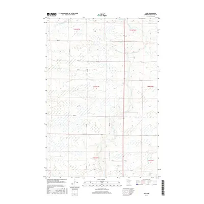 2016 Page2016 Print · USGSPage Township in the mid-2010s remains a landscape shaped by water and the grid of rural Minnesota life. Researchers can trace the winding Rum River and find local landmarks such as Page, Bradbury Brook, and the intersection of Co Rd 8.
 - 2016 Map of Milaca NE, 2016 Print
 2016 Milaca NE2016 Print · USGSThe Mille Lacs and Kanabec county line comes alive in the mid-2010s, showing a landscape defined by its river forks and marshlands. Genealogists and local historians can trace rural property lines along the Groundhouse River and locate family landmarks near Mikkelson Pool and Cranberry Lake.
 - 2019 Map of Page, 2019 Print
 2019 Page2019 Print · USGSPage Township in the late twenty-teens is a landscape defined by its waterways and a rigid section-line road grid. Genealogists and local historians can trace the paths of the Rum River and find the small settlement of Page near the junction of Co Rd 19.
 - 2019 Map of Milaca NE, 2019 Print
 2019 Milaca NE2019 Print · USGSNortheast of Milaca in the late 2010s, this area spans the boundary between Mille Lacs and Kanabec counties. Follow the course of the Groundhouse River or locate remote wetlands like Mikkelson Pool and Cranberry Lake.
 - 2022 Map of Milaca NE, 2022 Print
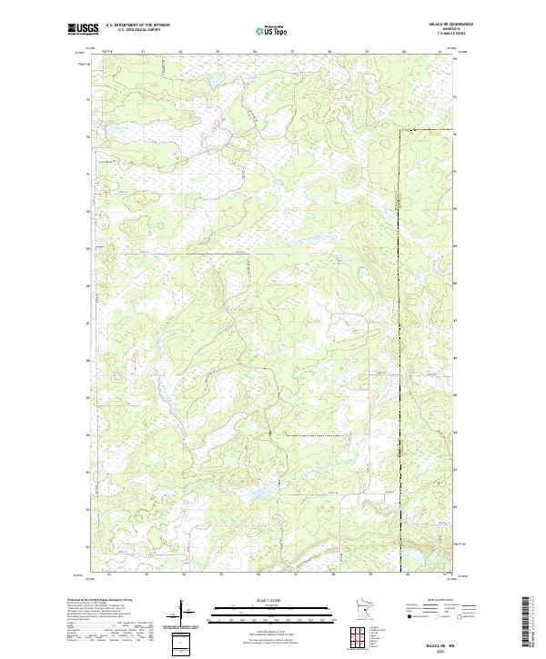 2022 Milaca NE2022 Print · USGSMille Lacs and Kanabec counties are shown here in the early twenty-first century, featuring a landscape of expansive wetlands and river forks. Researchers can trace the drainage of the Groundhouse River and find local landmarks like Mikkelson Pool and Cranberry Lake.
 - 2022 Map of Page, 2022 Print
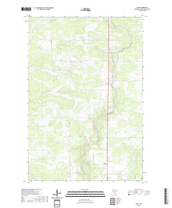 2022 Page2022 Print · USGSMille Lacs County in the early 2020s remains a landscape defined by its wetlands and the winding course of the Rum River. Genealogists and local historians can trace the rural network around Page and the banks of Robinson Brook or Burnt Lane Brook.
End of results
Showing maps 1-19 of 19
Top cities near Mudgett Township
- Milaca historical maps
- Onamia historical maps
- Isle historical maps
- Foreston historical maps
- Ogilvie historical maps
- Wahkon historical maps
See more
Frequently asked questions
- What are the different types of historical maps available for Mudgett Township?
- What is the oldest map of Mudgett Township?
- Where can I purchase historical maps of Mudgett Township for my home or office?
- Where can I download high-res historical maps of Mudgett Township?
- Are there historical topographic maps available for Mudgett Township?
- Is there historical aerial imagery available for Mudgett Township?
- Where are historical maps of Mudgett Township sourced from?