Old Maps of Lyle, Minnesota for Genealogy
Trace your family roots with 18 historic maps of Lyle. These high-res maps reveal old neighborhoods, homesites, landmarks, and streets — helping you uncover where your ancestors lived and how the area evolved over time.
- Explore historic neighborhoods: Identify where your relatives may have lived in the 1800s or 1900s.
- Compare maps over time: Trace the changes in streets, buildings, and landmarks for multi-generational research.
- Perfect for genealogy & ancestry research: Used by family historians and researchers to map out lineage and migration.
These maps are an incredible resource for exploring your personal connection to Lyle's past.
Lyle, MN maps
(18)- 1954 Map of Austin, 1956 Print
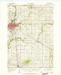 1954 Austin1956 Print · USGSPost-war Mower County thrives as a rail and agricultural center during the mid-fifties. Researchers can locate numerous country schools and churches, from School No 101 to Hoffanda Ch, and trace the rail lines serving Austin and Rose Creek.2 unique versions available
 - 1954 Map of Mason City, 1967 Print
 1954 Mason City1967 Print · USGSSouthern Minnesota and northern Iowa are shown here at the height of the mid-century rail era, centered on the regional hubs of Mason City and Rochester. Researchers can trace the vanished paths of the Chicago Great Western and find local landmarks like Pilot Knob and Bear Lake.2 unique versions available
 - 1957 Map of Mason City
 1957 Mason City1957 Print · USGSThe Minnesota-Iowa border region comes alive in this mid-century survey, from the industrial plants of Mason City to the medical hub of Rochester. Researchers can trace the rail-and-river economy through the Chicago Great Western Railway and the Shell Rock River.
 - 1958 Map of Mason City
 1958 Mason City1958 Print · USGSSouthern Minnesota and northern Iowa are shown during the mid-fifties when railroads still anchored the regional economy. Genealogists and historians can trace the intricate rail networks of the Illinois Central and find local landmarks in Mason City, Albert Lea, and Austin.
 - 1972 Map of St. Ansgar, 1974 Print
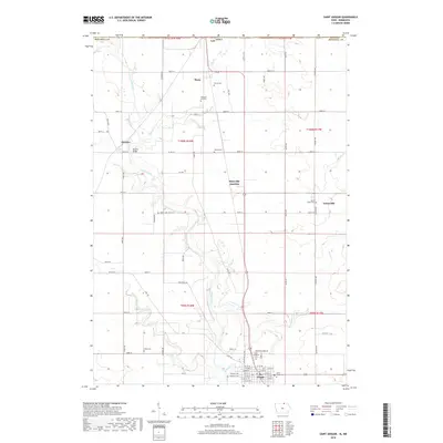
 1972 St. Ansgar1974 Print · USGSMitchell County and the Minnesota border come into focus in the 1970s as the rail-and-river economy centers on the Cedar River. Genealogists can trace family names through rural landmarks like Rustad Cem, Ogden Cem, and the small settlement of Toeterville.
 - 1982 Map of Lyle, 1983 Print
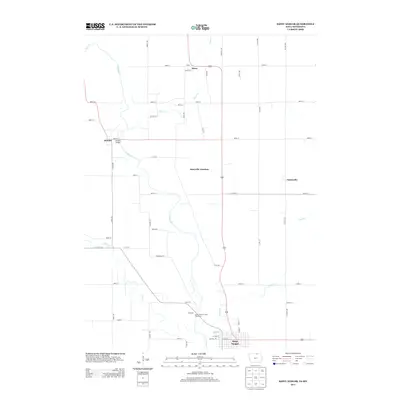
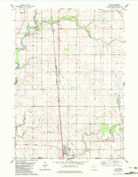 1982 Lyle1983 Print · USGSSouthern Minnesota's agricultural landscape is documented here in the early 1980s, centered on the railroad town of Lyle. Genealogists can trace family landmarks like Sixmile Grove Ch, the Rose Creek Cem, and small rural stops like Baldner.
 - 1985 Map of Charles City
 1985 Charles City1985 Print · USGSNorthern Iowa and the Minnesota borderlands are mapped here in the mid-1980s as a thriving network of rail-side towns and river valleys. Trace local history through the Reilly Settlement, Stacyville Junction, and aviation sites like Ellen Church Field.2 unique versions available
 - 1985 Map of Austin
 1985 Austin1985 Print · USGSSoutheast Minnesota in the mid-1980s reveals a land of river valleys and agricultural hubs along the Iowa border. Researchers can trace the legacy of regional transport through the Chicago and North Western line and landmarks like Niagara Cave or the Rochester Municipal Airport.2 unique versions available
 - 2010 Map of Saint Ansgar, 2010 Print
 2010 Saint Ansgar2010 Print · USGSCovers Lyle, including Saint Ansgar, Toeterville, and other nearby areas
 - 2010 Map of Lyle, 2010 Print
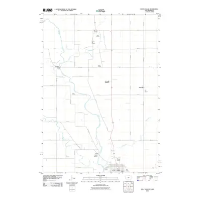
 2010 Lyle2010 Print · USGSCovers Lyle, including Varco, Ransom Trailer Court, and other nearby areas
 - 2013 Map of Saint Ansgar, 2013 Print
 2013 Saint Ansgar2013 Print · USGSCovers Lyle, including Saint Ansgar, Toeterville, and other nearby areas
 - 2013 Map of Lyle, 2013 Print
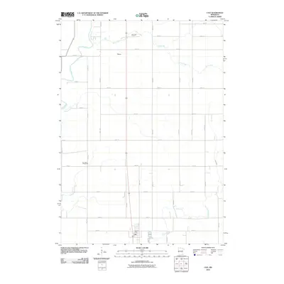
 2013 Lyle2013 Print · USGSCovers Lyle, including Varco, Ransom Trailer Court, and other nearby areas
 - 2015 Map of Saint Ansgar, 2015 Print
 2015 Saint Ansgar2015 Print · USGSCovers Lyle, including Saint Ansgar, Toeterville, and other nearby areas
 - 2016 Map of Lyle, 2016 Print
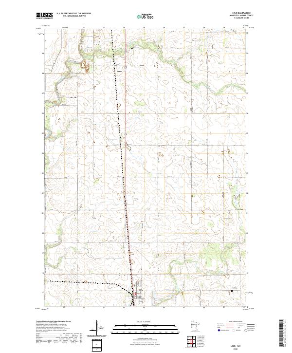
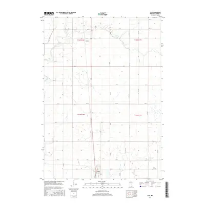 2016 Lyle2016 Print · USGSCovers Lyle, including Varco, Ransom Trailer Court, and other nearby areas
 - 2018 Map of Saint Ansgar, 2018 Print
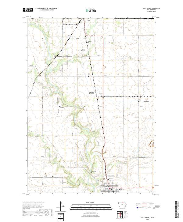
 2018 Saint Ansgar2018 Print · USGSCovers Lyle, including Saint Ansgar, Toeterville, and other nearby areas
 - 2019 Map of Lyle, 2019 Print
 2019 Lyle2019 Print · USGSCovers Lyle, including Varco, Ransom Trailer Court, and other nearby areas
 - 2022 Map of Lyle, 2022 Print
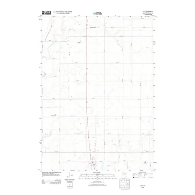
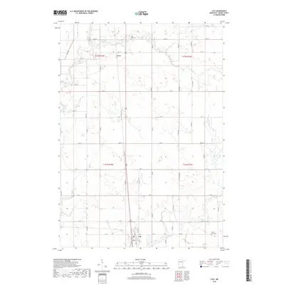
 2022 Lyle2022 Print · USGSMower County farmland near the Iowa border is captured here in the early 2020s, centered on the settlement of Lyle. Researchers can trace the rural landscape through Rose Creek Cem, the small hamlet of Varco, and the winding banks of the Cedar River.
 - 2022 Map of Saint Ansgar, 2022 Print
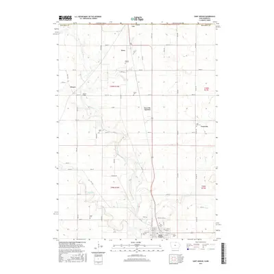
 2022 Saint Ansgar2022 Print · USGSMitchell County, Iowa, and the Minnesota borderlands are mapped here in the early twenty-first century as the agricultural and river-linked communities continue to thrive. Genealogists can trace family plots across several sites, including Mona Cem, Saint Peter Cem, and the streets of St. Ansgar.
End of results
Showing maps 1-18 of 18
Top cities near Lyle
- Austin historical maps
- Osage historical maps
- Saint Ansgar historical maps
- Adams historical maps
- Moscow historical maps
- Stacyville historical maps
See more
Top neighborhoods of Lyle
Frequently asked questions
- What are the different types of historical maps available for Lyle?
- What is the oldest map of Lyle?
- Where can I purchase historical maps of Lyle for my home or office?
- Where can I download high-res historical maps of Lyle?
- Are there historical topographic maps available for Lyle?
- Is there historical aerial imagery available for Lyle?
- Where are historical maps of Lyle sourced from?