2000s (21st Century) Maps of Slayton, Minnesota
Explore 20 historic maps of Slayton from the 2000s (21st Century). These maps offer a rare glimpse into what life looked like during the 2000s — showing old roads, neighborhoods, homes, and landmarks that have changed or disappeared over time.
Whether you're researching your family's past, planning a metal detecting trip, or studying how Slayton's landscape evolved across the 2000s, these high-resolution maps are a powerful tool for exploring the history of this region.
- Focus on a specific era: All maps on this page are from the 2000s, giving you a focused view of this time period.
- See what’s changed: Compare century-old streets, trails, and buildings to today's modern landscape using overlays and satellite layers.
- Research with precision: Use these maps for genealogy, historical research, land use analysis, or educational projects.
- View, download, or print: Maps are fully viewable online in high resolution, and can be downloaded or printed for your own records.
Start exploring Slayton's history through authentic maps from the 2000s. This is your window into the past.
Slayton, MN maps
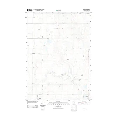
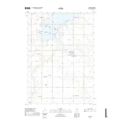
(20)- 2010 Map of Slayton, 2010 Print
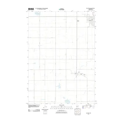 2010 Slayton2010 Print · USGSCovers Slayton, including Iona, Hadley, and other nearby areas
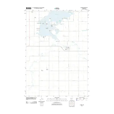
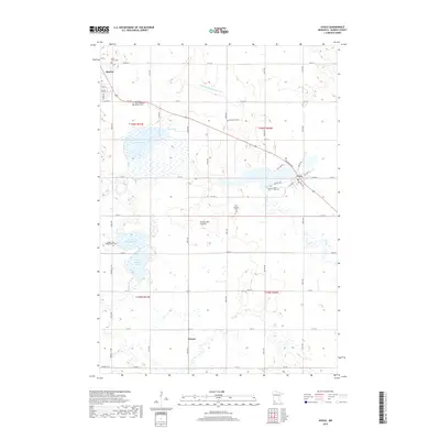
 - 2010 Map of Avoca, 2010 Print
 2010 Avoca2010 Print · USGSCovers Slayton, including Avoca, Wirock, and other nearby areas
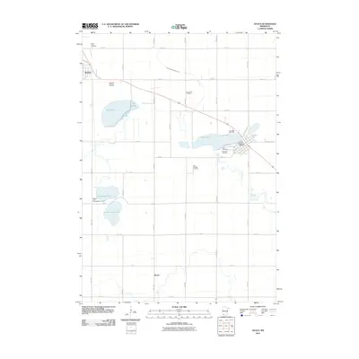
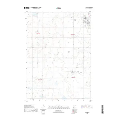
 - 2010 Map of Hadley, 2010 Print
 2010 Hadley2010 Print · USGSCovers Slayton, including Hadley, Murray County, and other nearby areas
 - 2010 Map of Currie, 2010 Print
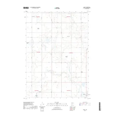
 2010 Currie2010 Print · USGSCovers Slayton, including Currie, Murray County, and other nearby areas
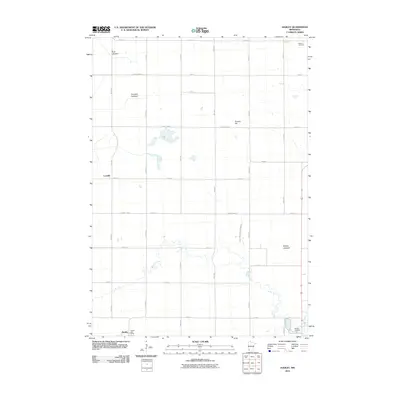
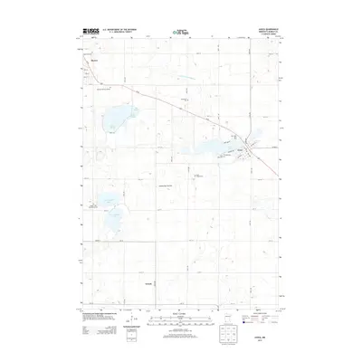
 - 2013 Map of Hadley, 2013 Print
 2013 Hadley2013 Print · USGSCovers Slayton, including Hadley, Murray County, and other nearby areas
 - 2013 Map of Avoca, 2013 Print
 2013 Avoca2013 Print · USGSCovers Slayton, including Avoca, Wirock, and other nearby areas
 - 2013 Map of Slayton, 2013 Print
 2013 Slayton2013 Print · USGSCovers Slayton, including Iona, Hadley, and other nearby areas
 - 2013 Map of Currie, 2013 Print
 2013 Currie2013 Print · USGSCovers Slayton, including Currie, Murray County, and other nearby areas
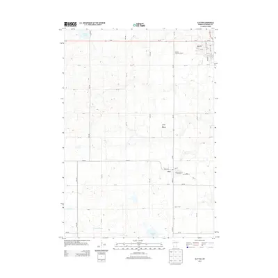
 - 2016 Map of Slayton, 2016 Print
 2016 Slayton2016 Print · USGSCovers Slayton, including Iona, Hadley, and other nearby areas
 - 2016 Map of Avoca, 2016 Print
 2016 Avoca2016 Print · USGSCovers Slayton, including Avoca, Wirock, and other nearby areas
 - 2016 Map of Hadley, 2016 Print
 2016 Hadley2016 Print · USGSCovers Slayton, including Hadley, Murray County, and other nearby areas
 - 2016 Map of Currie, 2016 Print
 2016 Currie2016 Print · USGSCovers Slayton, including Currie, Murray County, and other nearby areas
 - 2019 Map of Currie, 2019 Print
 2019 Currie2019 Print · USGSCovers Slayton, including Currie, Murray County, and other nearby areas
 - 2019 Map of Hadley, 2019 Print
 2019 Hadley2019 Print · USGSCovers Slayton, including Hadley, Murray County, and other nearby areas
 - 2019 Map of Slayton, 2019 Print
 2019 Slayton2019 Print · USGSCovers Slayton, including Iona, Hadley, and other nearby areas
 - 2019 Map of Avoca, 2019 Print
 2019 Avoca2019 Print · USGSCovers Slayton, including Avoca, Wirock, and other nearby areas
 - 2022 Map of Slayton, 2022 Print
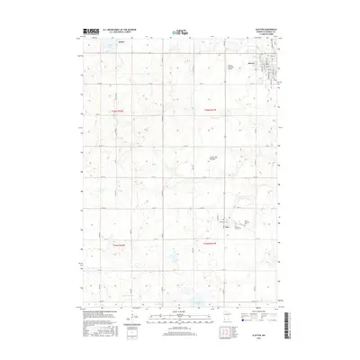
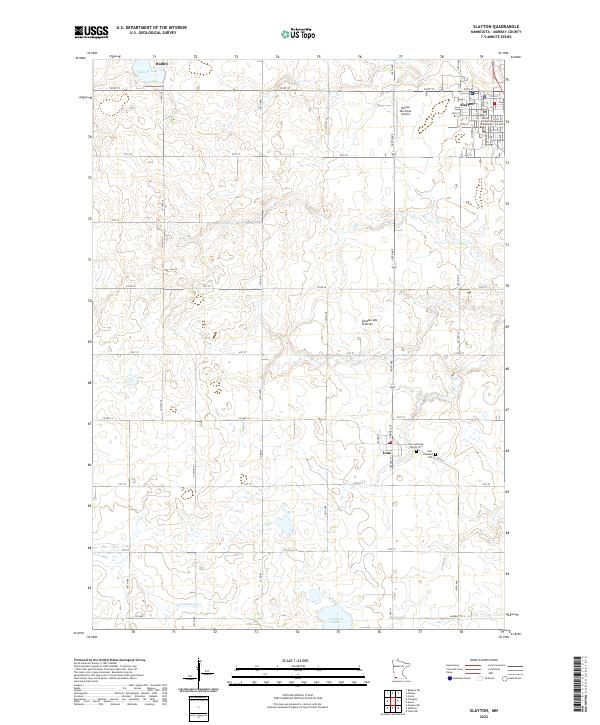 2022 Slayton2022 Print · USGSMurray County enters the twenty-first century with its agricultural roots and county seat well-preserved on this plateau landscape. Researchers can trace family history at Zion Lutheran Church Cem or locate the Murray County Courthouse in Slayton.
 - 2022 Map of Avoca, 2022 Print
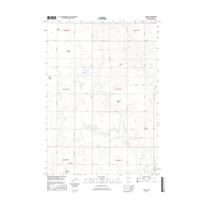
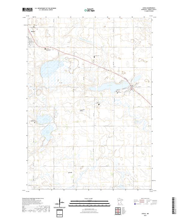 2022 Avoca2022 Print · USGSAgricultural life in Murray County continues a long tradition in this modern survey of Avoca and Slayton. Researchers can trace local heritage through numerous rural sites like Badger Lake Presbyterian Cem, Wirock, and Lime Lake.
 - 2022 Map of Hadley, 2022 Print
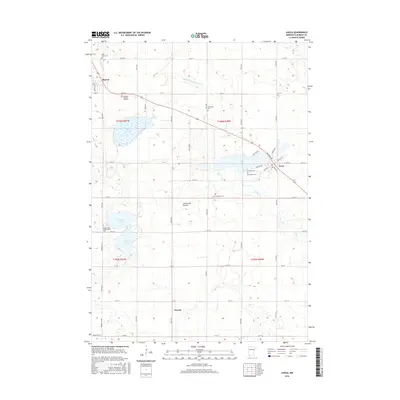
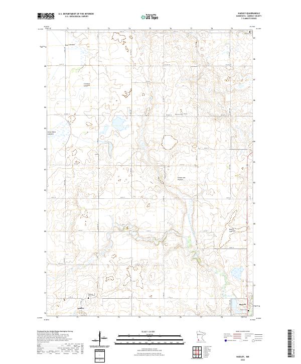 2022 Hadley2022 Print · USGSMurray County’s high prairie landscape is captured here in the early twenty-first century as the agricultural grid surrounds the town of Hadley. Researchers can trace local cemetery sites like Highland Home Cem and identify the distinctive dry basins of Great Oasis Lakebed and Beauty Lakebed.
 - 2022 Map of Currie, 2022 Print
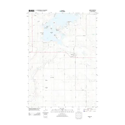
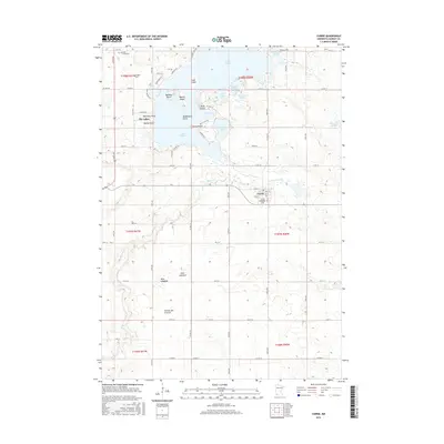
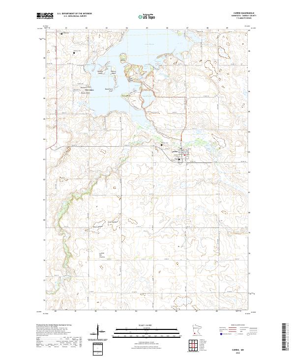 2022 Currie2022 Print · USGSMurray County's lakeside heritage is on full display in this modern survey of the Currie area. Genealogists and local historians can locate several burial sites like Currie Pioneer Cem and trace the paths of the Casey Jones State Trl around Lake Shetek.
End of results
Showing maps 1-20 of 20
Top cities near Slayton
- Fulda historical maps
- Wilmont historical maps
- Chandler historical maps
- Lake Wilson historical maps
- Currie historical maps
- Iona historical maps
See more
Frequently asked questions
- What are the different types of historical maps available for Slayton?
- What is the oldest map of Slayton?
- Where can I purchase historical maps of Slayton for my home or office?
- Where can I download high-res historical maps of Slayton?
- Are there historical topographic maps available for Slayton?
- Is there historical aerial imagery available for Slayton?
- Where are historical maps of Slayton sourced from?