Old Maps of Lafayette, Minnesota for Metal Detecting
Plan your next treasure hunt with 12 historic maps of Lafayette. Find old homesites, ghost towns, trails, and gathering spots that may be lost to time — perfect for identifying promising metal detecting locations.
- Locate forgotten sites: Uncover places like long-lost settlements, abandoned rail lines, or gathering spots.
- Plan better hunts: Use map overlays combined with LiDAR or satellite views to narrow in on historically rich areas.
- Made for detectorists: Thousands of hobbyists use these maps to discover relics, coins, and hidden history.
Use these historic maps to boost your research and find new opportunities beneath the surface of Lafayette.
Lafayette, MN maps
(12)- 1953 Map of New Ulm, 1968 Print
 1953 New Ulm1968 Print · USGSSouthern Minnesota in the mid-1950s is defined by its deep river valleys and the expanding reach of the Great Northern and Chicago and North Western railroads. Researchers can trace rural lineages through landmarks like the Milford State Monument, St. John's Ch, and the Upper Sioux Indian Res.3 unique versions available
 - 1957 Map of New Ulm
 1957 New Ulm1957 Print · USGSCentral Minnesota in the mid-fifties remains a landscape of river-valley commerce and prairie agriculture defined by its historic mission sites and rail towns. Genealogists and local historians can trace the development of New Ulm and Montevideo, or locate specific landmarks like the Milford State Monument and Minnesota Falls.
 - 1958 Map of New Ulm
 1958 New Ulm1958 Print · USGSSouth-central Minnesota’s river valleys and prairie towns are captured here in the mid-fifties, during the height of the region's rail-and-river economy. Genealogists and historians can trace the legacy of the Upper Sioux Indian Mission or locate early rail stops along the Chicago and North Western Ry in towns like Redwood Falls and Glencoe.
 - 1964 Map of Lafayette, 1965 Print
 1964 Lafayette1965 Print · USGSThe town of Lafayette and the surrounding prairie are captured here in the mid-sixties as a landscape shaped by rail and drainage. Researchers can trace the Chicago and North Western tracks and find local landmarks like School No 53 and St Gregory Cem.
 - 1967 Map of New Ulm
 1967 New Ulm1967 Print · USGSSouthern Minnesota in the mid-fifties is captured here as a landscape of river-valley missions and busy prairie rail towns. Researchers can trace the Yellow Medicine Trail and locate historic sites like the Morton Indian Mission and Milford State Monument.
 - 1986 Map of New Ulm
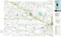 1986 New Ulm1986 Print · USGSSouthern Minnesota's river valleys and prairie townships are captured here in the mid-1980s, showcasing a landscape defined by agriculture and transit. Researchers can trace the Chicago and North Western rail lines through historic grain-stop towns like Sleepy Eye, Hanska, and Good Thunder.
 - 1991 Map of New Ulm
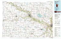 1991 New Ulm1991 Print · USGSThe Minnesota River valley serves as the backbone for this late-century look at the agricultural heartland between New Ulm and Mankato. Researchers can trace the layout of traditional prairie towns like Sleepy Eye and Madelia or explore recreation sites at Fort Ridgely State Park.
 - 2010 Map of Lafayette, 2010 Print
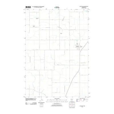 2010 Lafayette2010 Print · USGSNicollet County’s agricultural heartland is documented here in the early twenty-first century as a landscape shaped by drainage and faith. Genealogists and local historians can locate the Clear Lake Lutheran Cemetery, the Methodist Cemetery, and the Lafayette Post Office.
 - 2013 Map of Lafayette, 2013 Print
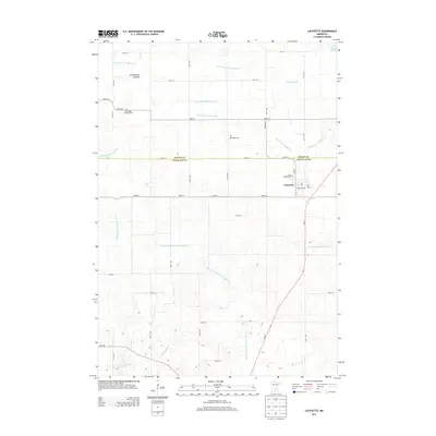 2013 Lafayette2013 Print · USGSNicollet County agricultural life is captured here in the early twenty-first century as modern drainage systems define the prairie landscape. Genealogists can locate family sites at Saint Gregory Cem, Methodist Cem, and the old Cottonwood Lakebed near Lafayette.
 - 2016 Map of Lafayette, 2016 Print
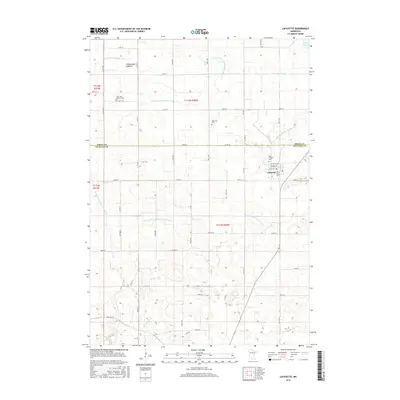 2016 Lafayette2016 Print · USGSLafayette and the surrounding farmlands of Sibley and Nicollet Counties are shown here during the mid-2010s. Researchers can trace local lineage through several sites like Saint Gregory Cem or explore the complex drainage history of Huelskamp Cr.
 - 2019 Map of Lafayette, 2019 Print
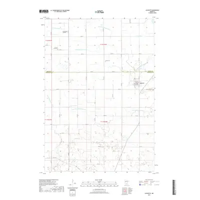 2019 Lafayette2019 Print · USGSNicollet and Sibley counties are captured here in a 2019 survey of the agricultural prairie south of the Minnesota River. Genealogists and local historians can locate Saint Gregory Cem, the Cottonwood Lakebed, and the historic route of Old Fort Rd.
 - 2022 Map of Lafayette, 2022 Print
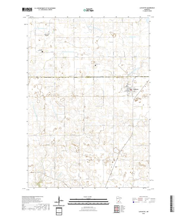 2022 Lafayette2022 Print · USGSThe community of Lafayette anchors this contemporary look at the farmland along the SIBLEY CO and NICOLLET CO border. Researchers can trace rural lineages at Clear Lake Lutheran Cem and Saint Gregory Cem or explore the path of Old Fort Rd.
End of results
Showing maps 1-12 of 12
Top cities near Lafayette
- New Ulm historical maps
- Gaylord historical maps
- Winthrop historical maps
- Nicollet historical maps
- Gibbon historical maps
- Courtland historical maps
See more
Frequently asked questions
- What are the different types of historical maps available for Lafayette?
- What is the oldest map of Lafayette?
- Where can I purchase historical maps of Lafayette for my home or office?
- Where can I download high-res historical maps of Lafayette?
- Are there historical topographic maps available for Lafayette?
- Is there historical aerial imagery available for Lafayette?
- Where are historical maps of Lafayette sourced from?