Old Maps of Bigelow, Minnesota for Hiking & Exploration
Hike through history with 16 historic maps of Bigelow. Explore old trails, ghost towns, and forgotten backroads — perfect for outdoor adventurers and local explorers.
- Rediscover forgotten places: Map out old mining camps, roads, and footpaths that no longer exist on modern maps.
- Layer with modern tools: Combine with LiDAR or satellite views to plan hikes through historical terrain.
- Made for exploration: Popular among hikers, overlanders, and local history lovers.
Use these maps to find adventure and explore the hidden past of Bigelow.
Bigelow, MN maps
(16)- 1954 Map of Fairmont, 1967 Print
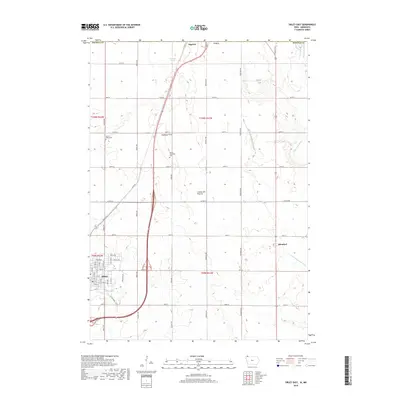
 1954 Fairmont1967 Print · USGSThe prairie landscape of southern Minnesota and northern Iowa comes alive in this mid-century survey of the Coteau des Prairies. Genealogists and historians can trace the rail-connected growth of Fairmont and Blue Earth or locate family roots near St Kilian Ch and Union Slough National Wildlife Refuge.3 unique versions available
 - 1958 Map of Fairmont
 1958 Fairmont1958 Print · USGSThe borderlands of southern Minnesota and northern Iowa come alive in the mid-1950s, showing a landscape defined by glacial lakes and rail-line commerce. Researchers can trace historic landmarks like Lakeside Laboratory, Gridley Station, and the Bancroft Wildlife Refuge across the prairie.
 - 1960 Map of Bigelow, 1961 Print
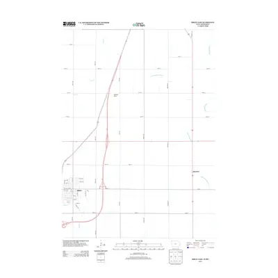
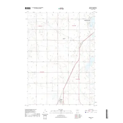
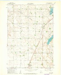 1960 Bigelow1961 Print · USGSNobles County's southern border at the turn of the 1960s reveals a landscape of prairie farms and vital rail links. Genealogists can locate Ransom Cem and the settlement of Org near the Chicago and North Western railroad.2 unique versions available
 - 1972 Map of Sibley East, 1975 Print
 1972 Sibley East1975 Print · USGSOsceola County, Iowa, is captured in the early seventies as a thriving agricultural and rail hub. Genealogists and historians can trace the foundations of Sibley and Allendorf while locating family-named landmarks like North Sibley Cem and the local Townhall.
 - 1985 Map of Iowa Great Lakes
 1985 Iowa Great Lakes1985 Print · USGSNorthwest Iowa’s glacial lakes and prairie towns are captured here in the mid-1980s, showing a landscape balanced between agriculture and lakeside recreation. Genealogists and historians can locate family sites near Holman Cem or trace the early rail corridors of the Chicago and North Western and the Chicago Milwaukee St Paul and Pacific.2 unique versions available
 - 1985 Map of Worthington
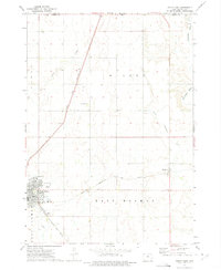
 1985 Worthington1985 Print · USGSSouthwestern Minnesota and northwestern Iowa are captured in the mid-1980s, showcasing the high-water mark of the region's agricultural and rail-line infrastructure. Researchers can trace the path of the Chicago and North Western through prairie towns like Adrian, Wilmont, and Lakefield.2 unique versions available
 - 2010 Map of Sibley East, 2010 Print
 2010 Sibley East2010 Print · USGSCovers Bigelow, including Sibley, Allendorf, and other nearby areas
 - 2010 Map of Bigelow, 2010 Print
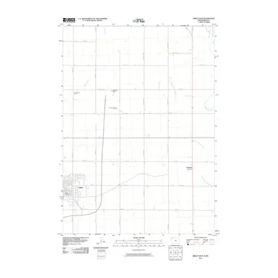
 2010 Bigelow2010 Print · USGSCovers Bigelow, including Worthington, Org, and other nearby areas
 - 2013 Map of Sibley East, 2013 Print
 2013 Sibley East2013 Print · USGSCovers Bigelow, including Sibley, Allendorf, and other nearby areas
 - 2013 Map of Bigelow, 2013 Print
 2013 Bigelow2013 Print · USGSCovers Bigelow, including Worthington, Org, and other nearby areas
 - 2015 Map of Sibley East, 2015 Print
 2015 Sibley East2015 Print · USGSCovers Bigelow, including Sibley, Allendorf, and other nearby areas
 - 2016 Map of Bigelow, 2016 Print
 2016 Bigelow2016 Print · USGSCovers Bigelow, including Worthington, Org, and other nearby areas
 - 2018 Map of Sibley East, 2018 Print
 2018 Sibley East2018 Print · USGSCovers Bigelow, including Sibley, Allendorf, and other nearby areas
 - 2019 Map of Bigelow, 2019 Print
 2019 Bigelow2019 Print · USGSCovers Bigelow, including Worthington, Org, and other nearby areas
 - 2022 Map of Bigelow, 2022 Print
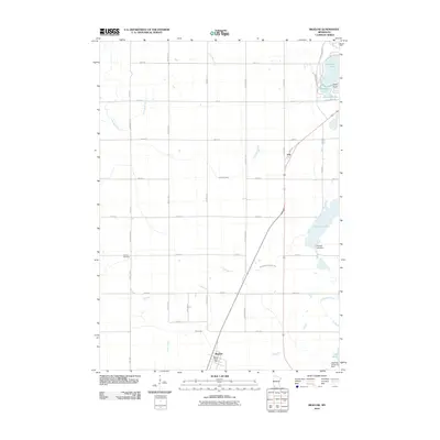
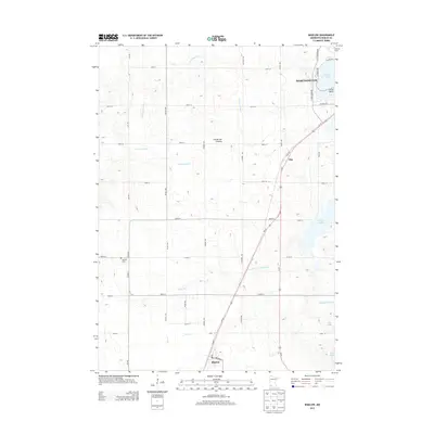
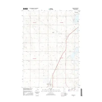
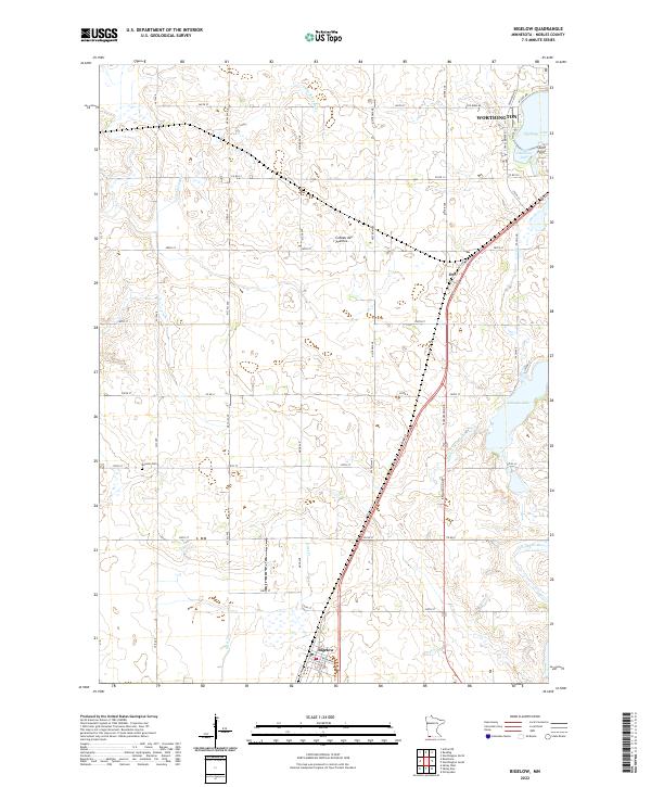 2022 Bigelow2022 Print · USGSNobles County's glacial landscape is documented here in the early 2020s, showing the intersection of prairie hydrology and rural settlement. Genealogists and local historians can locate the historic Ransom Cem and trace the paths of the Ocheyedan River and the town of Bigelow.
 - 2022 Map of Sibley East, 2022 Print
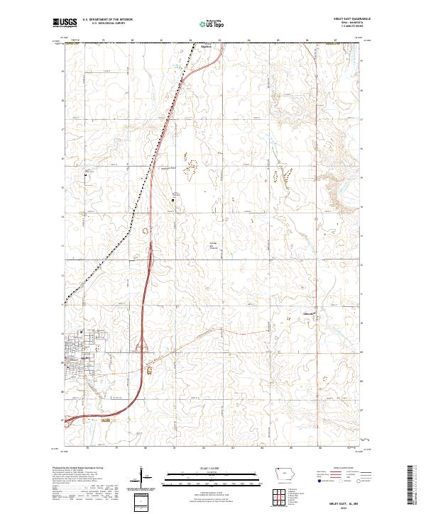 2022 Sibley East2022 Print · USGSOsceola County at the turn of the 21st century features the highest natural elevation in Iowa and the regional hub of Sibley. Genealogists and local historians can trace the town grid around the Osceola County Courthouse and locate the North Sibley Cem and Wilson Township Cem.
End of results
Showing maps 1-16 of 16
Top cities near Bigelow
- Worthington historical maps
- Sibley historical maps
- Adrian historical maps
- Brewster historical maps
- Little Rock historical maps
- Ocheyedan historical maps
See more
Frequently asked questions
- What are the different types of historical maps available for Bigelow?
- What is the oldest map of Bigelow?
- Where can I purchase historical maps of Bigelow for my home or office?
- Where can I download high-res historical maps of Bigelow?
- Are there historical topographic maps available for Bigelow?
- Is there historical aerial imagery available for Bigelow?
- Where are historical maps of Bigelow sourced from?