Old Maps of Ada, Minnesota for Hiking & Exploration
Hike through history with 18 historic maps of Ada. Explore old trails, ghost towns, and forgotten backroads — perfect for outdoor adventurers and local explorers.
- Rediscover forgotten places: Map out old mining camps, roads, and footpaths that no longer exist on modern maps.
- Layer with modern tools: Combine with LiDAR or satellite views to plan hikes through historical terrain.
- Made for exploration: Popular among hikers, overlanders, and local history lovers.
Use these maps to find adventure and explore the hidden past of Ada.
Ada, MN maps
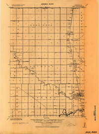
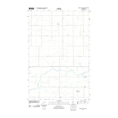
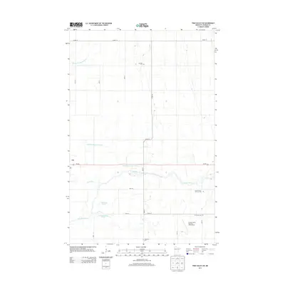
(18)- 1918 Map of Twin Valley
 1918 Twin Valley1918 Print · USGSNorman County is captured during the Great War era as a burgeoning agricultural district defined by the railroad and the river. Genealogists can trace the specific locations of family-owned farms near Twin Valley, Gary, and rural landmarks like the Betcher School or Cem. Church.
 - 1924 Map of Ada, 1944 Print
 1924 Ada1944 Print · USGSNorman County agricultural life is captured here in the mid-1920s, centered on the railroad towns of the Red River Valley. Researchers can trace the importance of the Great Northern rail line and identify specific local landmarks like the Ada Courthouse Tower, Lockhart Elevator, and the Fair Grounds.
 - 1952 Map of Grand Forks, 1967 Print
 1952 Grand Forks1967 Print · USGSThe Red River Valley in the early fifties is shown here at the height of its rail-and-river agricultural economy. Researchers can locate small-town landmarks like the Pleasant View School, the Immanuel Lutheran Church, and trace the path of the Soo Line Railroad.3 unique versions available
 - 1956 Map of Grand Forks
 1956 Grand Forks1956 Print · USGSThe Red River Valley in the mid-fifties is captured here as a thriving corridor of grain elevators and rail-linked towns along the North Dakota and Minnesota border. Researchers can trace historic church sites like Immanuel Lutheran Church, vanished rail stops at Tilde Junction, and the boundaries of the White Earth Indian Reservation.
 - 1965 Map of Twin Valley SW, 1967 Print
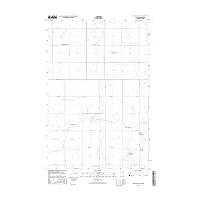
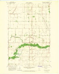 1965 Twin Valley SW1967 Print · USGSNorman County was a landscape of structured prairie and river bottomlands in the mid-sixties. Genealogists and local historians can locate St Johns Ch, trace the oxbows of Gilbertsons Slough, and find the Skandinavia Cem and West Wild Rice Cem.
 - 1965 Map of Ada, 1967 Print
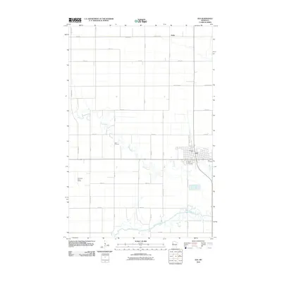
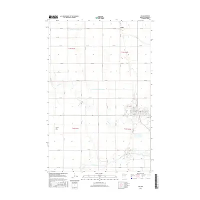
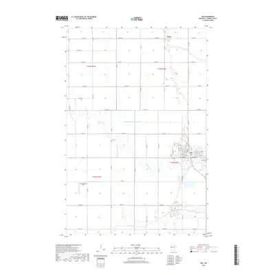
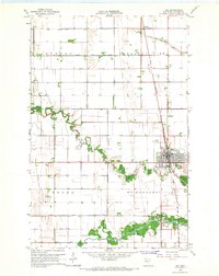 1965 Ada1967 Print · USGSThe Norman County seat of Ada and the surrounding Red River Valley farmland are shown here in the mid-1960s, just as modern irrigation and aviation were shaping the prairie. Genealogists and local historians can locate Petri Cem, the rural outpost of Hadler, and the Great Northern rail lines that fueled this agricultural hub.
 - 1966 Map of Grand Forks
 1966 Grand Forks1966 Print · USGSThe Red River Valley in the mid-sixties shows a landscape shaped by rail-line commerce and complex water management. Genealogists and historians can trace rail-side towns like Emerado and Hunter or locate rural landmarks like the Pleasant View Church.
 - 1984 Map of Ada, 1985 Print
 1984 Ada1985 Print · USGSThe Red River Valley's agricultural heartland is documented here in the mid-1980s, showcasing the extensive network of drainage ditches and rail lines that powered the region. Genealogists and local historians can trace family locations near Ada, Fertile, and along the Burlington Northern line.2 unique versions available
 - 2010 Map of Twin Valley SW, 2010 Print
 2010 Twin Valley SW2010 Print · USGSCovers Ada, including Norman County, United States, and other nearby areas
 - 2010 Map of Ada, 2010 Print
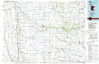
 2010 Ada2010 Print · USGSCovers Ada, including Hadler, Norman County, and other nearby areas
 - 2013 Map of Ada, 2013 Print
 2013 Ada2013 Print · USGSCovers Ada, including Hadler, Norman County, and other nearby areas
 - 2013 Map of Twin Valley SW, 2013 Print
 2013 Twin Valley SW2013 Print · USGSCovers Ada, including Norman County, United States, and other nearby areas
 - 2016 Map of Ada, 2016 Print
 2016 Ada2016 Print · USGSCovers Ada, including Hadler, Norman County, and other nearby areas
 - 2016 Map of Twin Valley SW, 2016 Print
 2016 Twin Valley SW2016 Print · USGSCovers Ada, including Norman County, United States, and other nearby areas
 - 2019 Map of Twin Valley SW, 2019 Print
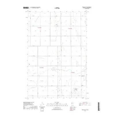 2019 Twin Valley SW2019 Print · USGSCovers Ada, including Norman County, United States, and other nearby areas
 - 2019 Map of Ada, 2019 Print
 2019 Ada2019 Print · USGSCovers Ada, including Hadler, Norman County, and other nearby areas
 - 2022 Map of Twin Valley SW, 2022 Print
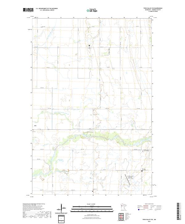 2022 Twin Valley SW2022 Print · USGSNorman County’s agricultural heartland is documented here in the early twenty-first century, showing the intersection of river drainage and rural township life. Genealogists can locate several historic burial sites, including Saint John's Cem, Ada Cem, and the Norman County Poor Farm Cem.
 - 2022 Map of Ada, 2022 Print
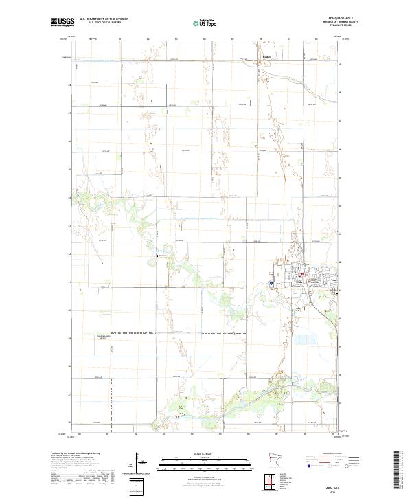 2022 Ada2022 Print · USGSNorman County, Minnesota, is captured here in the early 2020s, showing the agricultural center of Ada and the surrounding prairie landscape. Genealogists can locate the Norman County Courthouse and local burial sites like Petri Cem and Ada Cem.
End of results
Showing maps 1-18 of 18
Top cities near Ada
- Fertile historical maps
- Felton historical maps
- Borup historical maps
- Anthony historical maps
- Lockhart historical maps
Frequently asked questions
- What are the different types of historical maps available for Ada?
- What is the oldest map of Ada?
- Where can I purchase historical maps of Ada for my home or office?
- Where can I download high-res historical maps of Ada?
- Are there historical topographic maps available for Ada?
- Is there historical aerial imagery available for Ada?
- Where are historical maps of Ada sourced from?