Old Maps of Waukon, Minnesota
Explore 10 old maps of Waukon, spanning from 1952 to today. These high-resolution historic maps reveal how streets, neighborhoods, landmarks, and natural features evolved over time — perfect for genealogy, metal detecting, research, and local history exploration.
What you can do with these maps:
- See how Waukon changed over time: Compare historical maps to modern-day views to trace roads, homesites, rail lines & more.
- View detailed metadata: Each map includes creators, publishers, year, scale, and archive source.
- Overlay maps with satellite & LiDAR: Visualize the past alongside modern tools to explore terrain & human change.
- Trusted historical sources: Maps sourced from the USGS, Library of Congress, and other archives.
- Access maps your way: View online, download high-res files, or order prints for personal or research use.
Start exploring old maps of Waukon to uncover forgotten places, hidden landmarks, and the deep history beneath your feet.
Waukon, MN maps
(10)- 1952 Map of Grand Forks, 1967 Print
 1952 Grand Forks1967 Print · USGSThe Red River Valley in the early fifties is shown here at the height of its rail-and-river agricultural economy. Researchers can locate small-town landmarks like the Pleasant View School, the Immanuel Lutheran Church, and trace the path of the Soo Line Railroad.3 unique versions available
 - 1956 Map of Grand Forks
 1956 Grand Forks1956 Print · USGSThe Red River Valley in the mid-fifties is captured here as a thriving corridor of grain elevators and rail-linked towns along the North Dakota and Minnesota border. Researchers can trace historic church sites like Immanuel Lutheran Church, vanished rail stops at Tilde Junction, and the boundaries of the White Earth Indian Reservation.
 - 1965 Map of Waukon, 1967 Print
 1965 Waukon1967 Print · USGSNorman County farm country is captured here in the mid-1960s, showing a landscape defined by the winding Wild Rice River and the grid of township roads. Genealogists can locate family sites near St Petri Ch, Immanuel Cem, and the small settlement of Waukon.
 - 1966 Map of Grand Forks
 1966 Grand Forks1966 Print · USGSThe Red River Valley in the mid-sixties shows a landscape shaped by rail-line commerce and complex water management. Genealogists and historians can trace rail-side towns like Emerado and Hunter or locate rural landmarks like the Pleasant View Church.
 - 1984 Map of Ada, 1985 Print
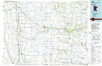 1984 Ada1985 Print · USGSThe Red River Valley's agricultural heartland is documented here in the mid-1980s, showcasing the extensive network of drainage ditches and rail lines that powered the region. Genealogists and local historians can trace family locations near Ada, Fertile, and along the Burlington Northern line.2 unique versions available
 - 2010 Map of Waukon, 2010 Print
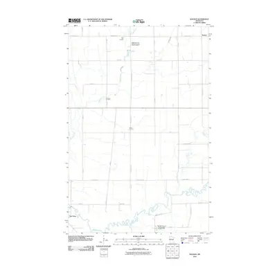 2010 Waukon2010 Print · USGSWaukon and the surrounding Norman County farmlands are captured here in the early twenty-first century as the Wild Rice River winds through the prairie. Genealogists and local researchers can locate specific sites including Saint Petri Cemetery, Immanuel Cemetery, and the Habedank-Skaurud Multipurpose Structure Dam.
 - 2013 Map of Waukon, 2013 Print
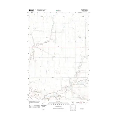 2013 Waukon2013 Print · USGSNorman County agricultural lands are captured here in the early twenty-first century as the Wild Rice River winds across the southern reaches. Genealogists and local historians can pinpoint family burial sites at Saint Petri Cem, Immanuel Cem, and Hlubek Cem.
 - 2016 Map of Waukon, 2016 Print
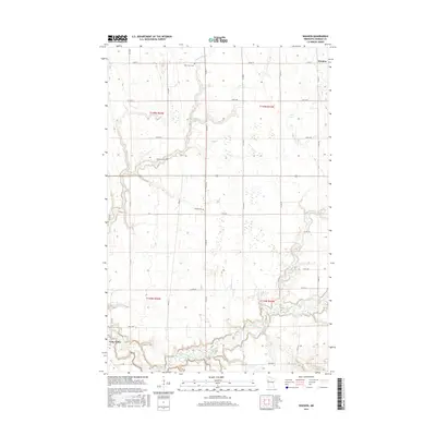 2016 Waukon2016 Print · USGSTwin Valley and Waukon anchor this rural landscape in the mid-2010s, where agricultural life centers on the winding Wild Rice River. Researchers can locate family heritage sites at Saint Petri Cem, Immanuel Cem, and Hlubek Cem.
 - 2019 Map of Waukon, 2019 Print
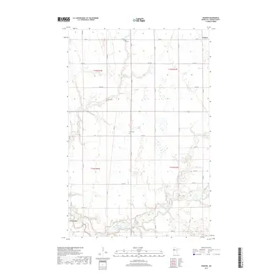 2019 Waukon2019 Print · USGSTwin Valley and the surrounding Norman County townships are captured here in the late twenty-teens, showcasing a landscape shaped by prairie waterways. Genealogists can locate family landmarks like Saint Petri Cem and Immanuel Cem or trace the banks of the Wild Rice River.
 - 2022 Map of Waukon, 2022 Print
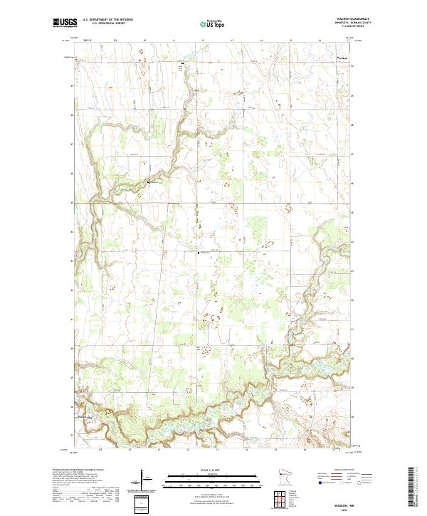 2022 Waukon2022 Print · USGSNorman County agricultural lands are documented here in recent years, showing the area between Waukon and Twin Valley. Genealogists can locate several burial grounds, such as Saint Petri Cem and Hlubek Cem, along the Wild Rice River.
End of results
Showing maps 1-10 of 10
Top cities near Waukon
- Mahnomen historical maps
- Fertile historical maps
- Twin Valley historical maps
- Waubun historical maps
- Winger historical maps
- Gary historical maps
See more
Frequently asked questions
- What are the different types of historical maps available for Waukon?
- What is the oldest map of Waukon?
- Where can I purchase historical maps of Waukon for my home or office?
- Where can I download high-res historical maps of Waukon?
- Are there historical topographic maps available for Waukon?
- Is there historical aerial imagery available for Waukon?
- Where are historical maps of Waukon sourced from?