2000s (21st Century) Maps of Saint Olaf Township, Minnesota
Explore 20 historic maps of Saint Olaf Township from the 2000s (21st Century). These maps offer a rare glimpse into what life looked like during the 2000s — showing old roads, neighborhoods, homes, and landmarks that have changed or disappeared over time.
Whether you're researching your family's past, planning a metal detecting trip, or studying how Saint Olaf Township's landscape evolved across the 2000s, these high-resolution maps are a powerful tool for exploring the history of this region.
- Focus on a specific era: All maps on this page are from the 2000s, giving you a focused view of this time period.
- See what’s changed: Compare century-old streets, trails, and buildings to today's modern landscape using overlays and satellite layers.
- Research with precision: Use these maps for genealogy, historical research, land use analysis, or educational projects.
- View, download, or print: Maps are fully viewable online in high resolution, and can be downloaded or printed for your own records.
Start exploring Saint Olaf Township's history through authentic maps from the 2000s. This is your window into the past.
Saint Olaf Township, MN maps
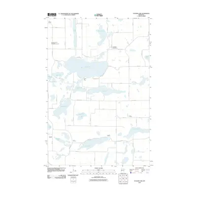
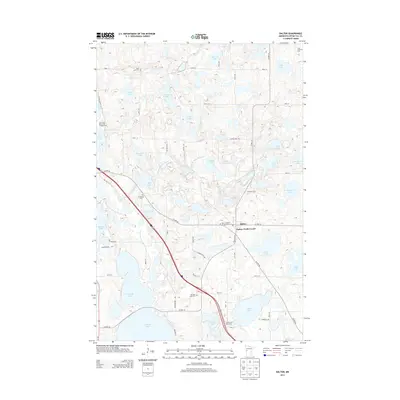
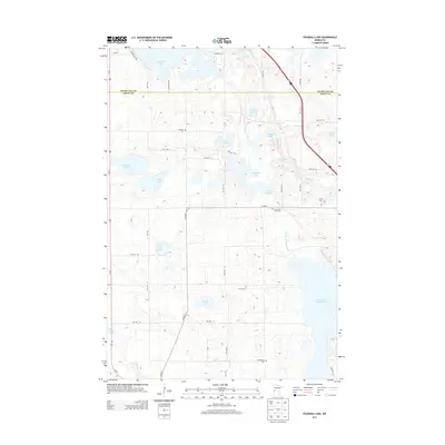
(20)- 2010 Map of Fourmile Lake, 2010 Print
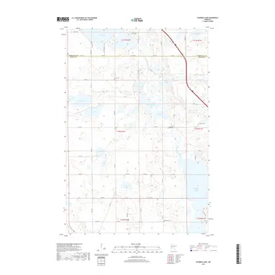
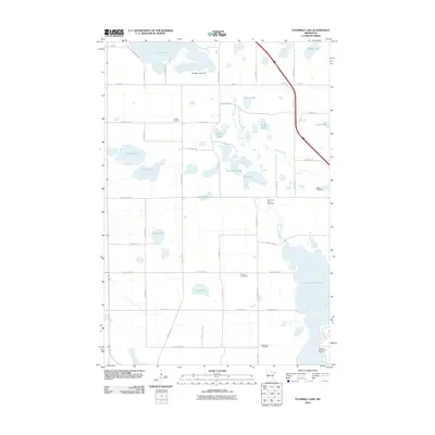 2010 Fourmile Lake2010 Print · USGSCovers Saint Olaf Township, including Tumuli Township, Otter Tail County, and other nearby areas
 - 2010 Map of Dalton, 2010 Print
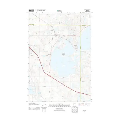
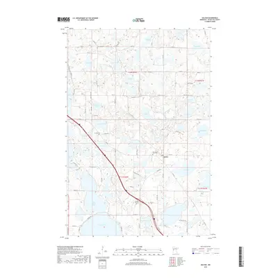
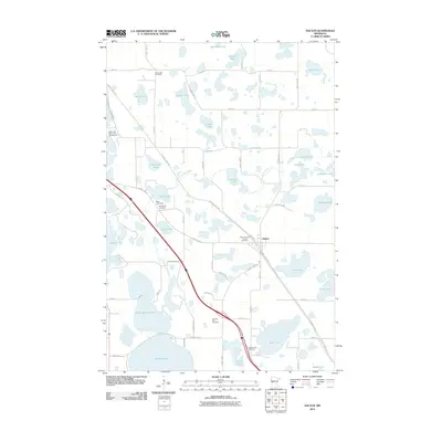 2010 Dalton2010 Print · USGSCovers Saint Olaf Township, including Dalton, Dane Prairie Township, and other nearby areas
 - 2010 Map of Stalker Lake, 2010 Print
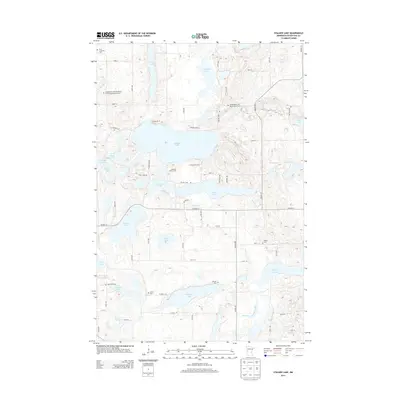
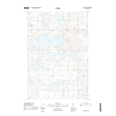
 2010 Stalker Lake2010 Print · USGSCovers Saint Olaf Township, including Eagle Lake Township, Tordenskjold Township, and other nearby areas
 - 2010 Map of Ashby, 2010 Print
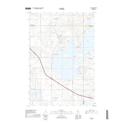
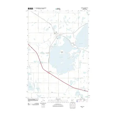 2010 Ashby2010 Print · USGSCovers Saint Olaf Township, including Ashby, Eagle Lake Township, and other nearby areas
 - 2013 Map of Dalton, 2013 Print
 2013 Dalton2013 Print · USGSCovers Saint Olaf Township, including Dalton, Dane Prairie Township, and other nearby areas
 - 2013 Map of Fourmile Lake, 2013 Print
 2013 Fourmile Lake2013 Print · USGSCovers Saint Olaf Township, including Tumuli Township, Otter Tail County, and other nearby areas
 - 2013 Map of Ashby, 2013 Print
 2013 Ashby2013 Print · USGSCovers Saint Olaf Township, including Ashby, Eagle Lake Township, and other nearby areas
 - 2013 Map of Stalker Lake, 2013 Print
 2013 Stalker Lake2013 Print · USGSCovers Saint Olaf Township, including Eagle Lake Township, Tordenskjold Township, and other nearby areas
 - 2016 Map of Ashby, 2016 Print
 2016 Ashby2016 Print · USGSCovers Saint Olaf Township, including Ashby, Eagle Lake Township, and other nearby areas
 - 2016 Map of Fourmile Lake, 2016 Print
 2016 Fourmile Lake2016 Print · USGSCovers Saint Olaf Township, including Tumuli Township, Otter Tail County, and other nearby areas
 - 2016 Map of Dalton, 2016 Print
 2016 Dalton2016 Print · USGSCovers Saint Olaf Township, including Dalton, Dane Prairie Township, and other nearby areas
 - 2016 Map of Stalker Lake, 2016 Print
 2016 Stalker Lake2016 Print · USGSCovers Saint Olaf Township, including Eagle Lake Township, Tordenskjold Township, and other nearby areas
 - 2019 Map of Dalton, 2019 Print
 2019 Dalton2019 Print · USGSCovers Saint Olaf Township, including Dalton, Dane Prairie Township, and other nearby areas
 - 2019 Map of Ashby, 2019 Print
 2019 Ashby2019 Print · USGSCovers Saint Olaf Township, including Ashby, Eagle Lake Township, and other nearby areas
 - 2019 Map of Stalker Lake, 2019 Print
 2019 Stalker Lake2019 Print · USGSCovers Saint Olaf Township, including Eagle Lake Township, Tordenskjold Township, and other nearby areas
 - 2019 Map of Fourmile Lake, 2019 Print
 2019 Fourmile Lake2019 Print · USGSCovers Saint Olaf Township, including Tumuli Township, Otter Tail County, and other nearby areas
 - 2022 Map of Dalton, 2022 Print
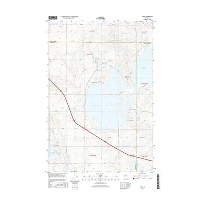
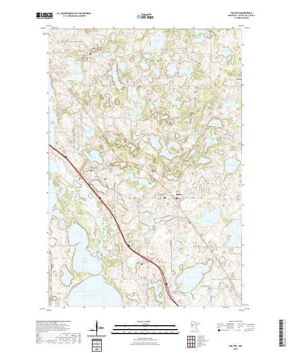 2022 Dalton2022 Print · USGSThis part of Otter Tail County is shown as it appears in the 2020s, a landscape defined by its numerous glacial lakes and the village of Dalton. Researchers can trace local heritage through several burial sites and waterways, including Zion Lutheran Church Cem and the Pomme de Terre River.
 - 2022 Map of Ashby, 2022 Print
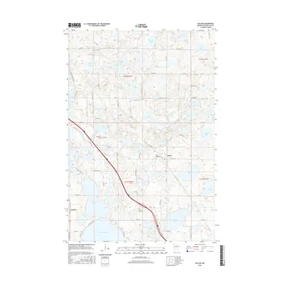
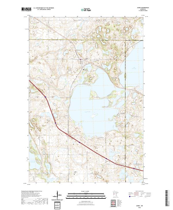 2022 Ashby2022 Print · USGSAshby and its surrounding glacial lake country are detailed in this modern survey of the Grant County borderlands. Researchers can locate family sites and landmarks like the Pelican Lake Cem, the Erdahl Lutheran Cem, and Native American Burial Grounds.
 - 2022 Map of Stalker Lake, 2022 Print
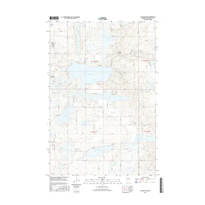
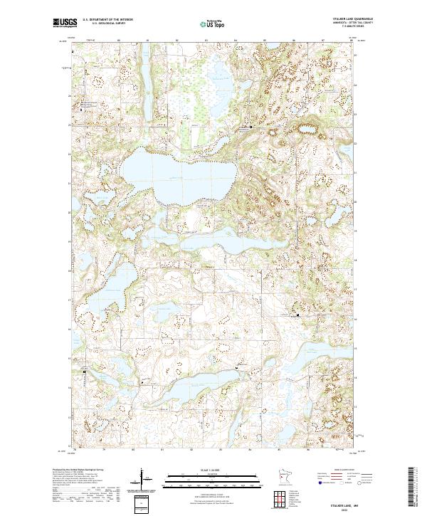 2022 Stalker Lake2022 Print · USGSOtter Tail County’s lake country is detailed here during the early twenty-first century, showing a landscape defined by glacial waters and rural homesteads. Genealogists can locate several historic burial sites, including Saint Olaf Cem, Bethel Cem, and the Jordenskjold Free Mission Church Cem.
 - 2022 Map of Fourmile Lake, 2022 Print
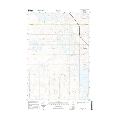
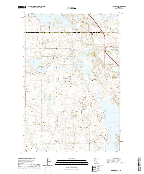 2022 Fourmile Lake2022 Print · USGSGrant and Otter Tail counties are shown here in the early twenty-first century, featuring a landscape defined by glacial lakes and the Pomme de Terre River. Genealogists can trace family history through sites like Christ Lutheran Cem and Pomme De Terre Cem.
End of results
Showing maps 1-20 of 20
Top cities near Saint Olaf Township
- Fergus Falls historical maps
- Elbow Lake historical maps
- Battle Lake historical maps
- Evansville historical maps
- Ashby historical maps
- Barrett historical maps
See more
Frequently asked questions
- What are the different types of historical maps available for Saint Olaf Township?
- What is the oldest map of Saint Olaf Township?
- Where can I purchase historical maps of Saint Olaf Township for my home or office?
- Where can I download high-res historical maps of Saint Olaf Township?
- Are there historical topographic maps available for Saint Olaf Township?
- Is there historical aerial imagery available for Saint Olaf Township?
- Where are historical maps of Saint Olaf Township sourced from?