Old Maps of Danforth Township, Minnesota for Hiking & Exploration
Hike through history with 28 historic maps of Danforth Township. Explore old trails, ghost towns, and forgotten backroads — perfect for outdoor adventurers and local explorers.
- Rediscover forgotten places: Map out old mining camps, roads, and footpaths that no longer exist on modern maps.
- Layer with modern tools: Combine with LiDAR or satellite views to plan hikes through historical terrain.
- Made for exploration: Popular among hikers, overlanders, and local history lovers.
Use these maps to find adventure and explore the hidden past of Danforth Township.
Danforth Township, MN maps
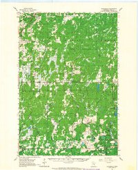
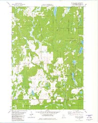
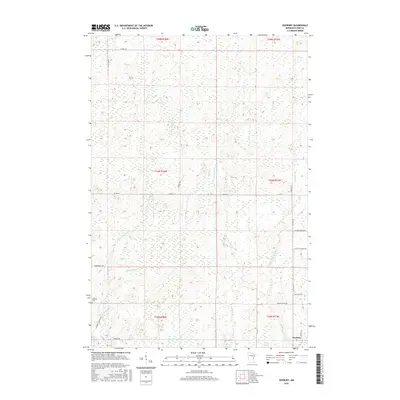
(28)- 1953 Map of Duluth, 1964 Print
 1953 Duluth1964 Print · USGSNortheastern Minnesota and northwestern Wisconsin are shown here during a period of industrial maturity and expanding conservation. Genealogists and historians can trace rail-connected towns like McGrath and Wahkon, or locate heritage sites within the Fond du Lac Indian Reservation.2 unique versions available
 - 1958 Map of Duluth
 1958 Duluth1958 Print · USGSNortheastern Minnesota and the Wisconsin borderlands are shown in detail during the late 1950s, centered on the bustling rail yards and ports of Duluth. You can trace the historic routes of the Soo Line and Duluth Missabe & Iron Range through small towns like McGrath, Bruno, and Wrenshall.
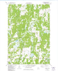
 - 1962 Map of Cloverdale, 1964 Print
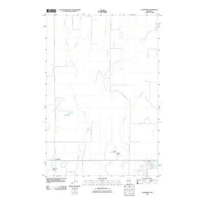
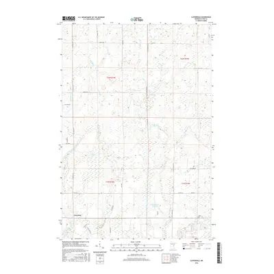
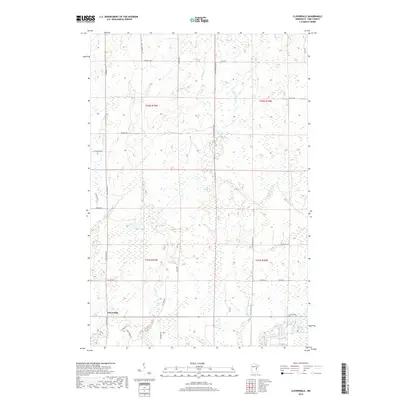
 1962 Cloverdale1964 Print · USGSPine County's forested eastern reaches are captured here in the early 1960s, showing the quiet townships before modern developments. Local researchers can locate rural landmarks like the Danforth Sch, the Sand Creek Chapel, and the Great Northern rail line.2 unique versions available
 - 1980 Map of Sandstone
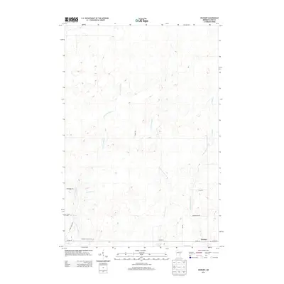
 1980 Sandstone1980 Print · USGSPine County and the Minnesota-Wisconsin borderlands are shown here in the early eighties as a region of dense state forests and river corridors. Genealogists and historians can trace rail-town development along the Burlington Northern including Sandstone, Askov, and Hinckley.
 - 1981 Map of Cloverdale, 1982 Print
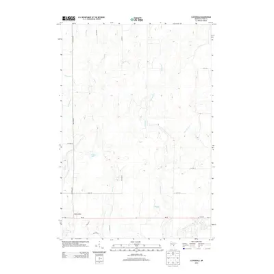
 1981 Cloverdale1982 Print · USGSPine County's conservation lands and rural townships are captured here in the early 1980s, revealing a landscape defined by state parks and game refuges. Researchers can locate the Cloverdale settlement, the Clover Cem, and early recreational features in St Croix State Park.
 - 1981 Map of Askov Lookout Tower, 1982 Print
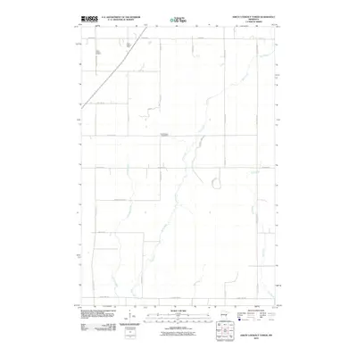
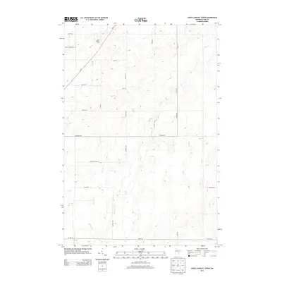
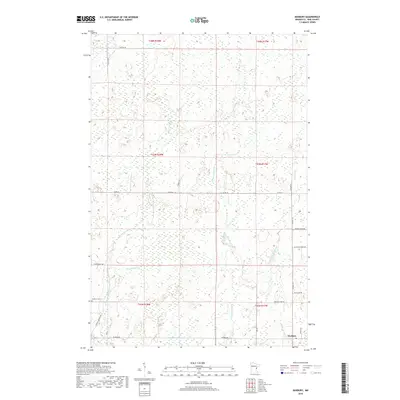
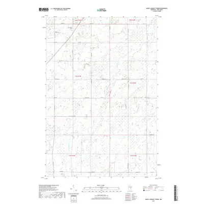
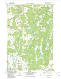 1981 Askov Lookout Tower1982 Print · USGSPine County's northern townships are mapped here during the early 1980s, showcasing a landscape defined by timber, wetlands, and early industrial gravel works. Genealogists and local historians can locate Vilstad Ch, the Danforth Cem, and the Askov Lookout Tower.
 - 1981 Map of Duxbury, 1982 Print
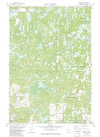 1981 Duxbury1982 Print · USGSPine County’s wilder reaches are shown here in the early 1980s, before modern developments altered these state forest lands. Researchers can trace the rural settlement of Duxbury and find family history at Danforth Cem or the Eaglehead Lookout Tower.
 - 1981 Map of Wilbur Lake, 1982 Print
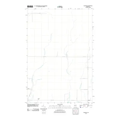
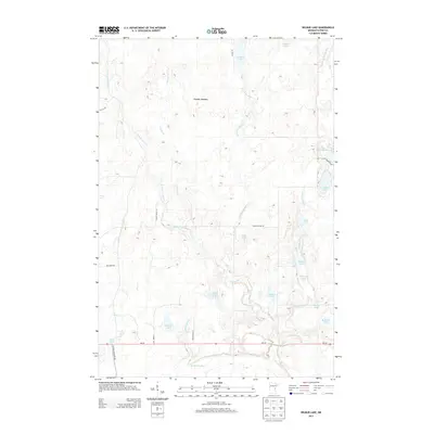
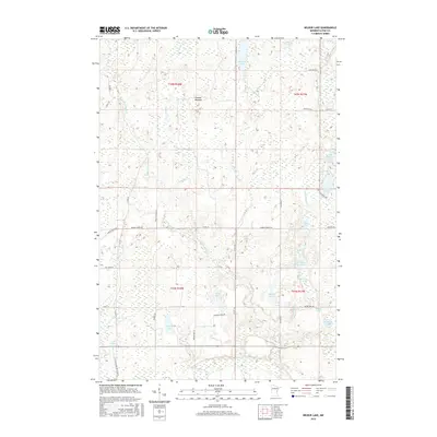
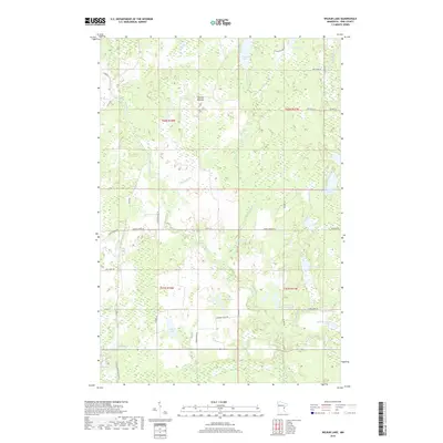
 1981 Wilbur Lake1982 Print · USGSThe Pine County backwoods come into focus in the early eighties, showing a landscape defined by state forests and conservation areas. Researchers can trace the wetlands of the Mc Gowan State Wildlife Management Area or locate family sites near Wilbur Lake and Lake Olive.
 - 2010 Map of Duxbury, 2010 Print
 2010 Duxbury2010 Print · USGSCovers Danforth Township, including Park Township, Duxbury, and other nearby areas
 - 2010 Map of Wilbur Lake, 2010 Print
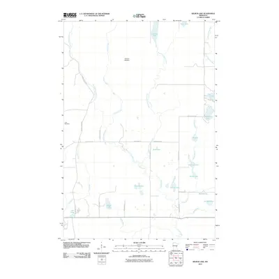 2010 Wilbur Lake2010 Print · USGSCovers Danforth Township, including Wilma Township, Clover Township, and other nearby areas
 - 2010 Map of Askov Lookout Tower, 2010 Print
 2010 Askov Lookout Tower2010 Print · USGSCovers Danforth Township, including Norman Township, Bruno Township, and other nearby areas
 - 2010 Map of Cloverdale, 2010 Print
 2010 Cloverdale2010 Print · USGSCovers Danforth Township, including Arlone Township, Sandstone Township, and other nearby areas
 - 2013 Map of Cloverdale, 2013 Print
 2013 Cloverdale2013 Print · USGSCovers Danforth Township, including Arlone Township, Sandstone Township, and other nearby areas
 - 2013 Map of Duxbury, 2013 Print
 2013 Duxbury2013 Print · USGSCovers Danforth Township, including Park Township, Duxbury, and other nearby areas
 - 2013 Map of Wilbur Lake, 2013 Print
 2013 Wilbur Lake2013 Print · USGSCovers Danforth Township, including Wilma Township, Clover Township, and other nearby areas
 - 2013 Map of Askov Lookout Tower, 2013 Print
 2013 Askov Lookout Tower2013 Print · USGSCovers Danforth Township, including Norman Township, Bruno Township, and other nearby areas
 - 2016 Map of Askov Lookout Tower, 2016 Print
 2016 Askov Lookout Tower2016 Print · USGSCovers Danforth Township, including Norman Township, Bruno Township, and other nearby areas
 - 2016 Map of Wilbur Lake, 2016 Print
 2016 Wilbur Lake2016 Print · USGSCovers Danforth Township, including Wilma Township, Clover Township, and other nearby areas
 - 2016 Map of Cloverdale, 2016 Print
 2016 Cloverdale2016 Print · USGSCovers Danforth Township, including Arlone Township, Sandstone Township, and other nearby areas
 - 2016 Map of Duxbury, 2016 Print
 2016 Duxbury2016 Print · USGSCovers Danforth Township, including Park Township, Duxbury, and other nearby areas
 - 2019 Map of Cloverdale, 2019 Print
 2019 Cloverdale2019 Print · USGSCovers Danforth Township, including Arlone Township, Sandstone Township, and other nearby areas
 - 2019 Map of Duxbury, 2019 Print
 2019 Duxbury2019 Print · USGSCovers Danforth Township, including Park Township, Duxbury, and other nearby areas
 - 2019 Map of Wilbur Lake, 2019 Print
 2019 Wilbur Lake2019 Print · USGSCovers Danforth Township, including Wilma Township, Clover Township, and other nearby areas
 - 2019 Map of Askov Lookout Tower, 2019 Print
 2019 Askov Lookout Tower2019 Print · USGSCovers Danforth Township, including Norman Township, Bruno Township, and other nearby areas
 - 2022 Map of Askov Lookout Tower, 2022 Print
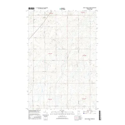
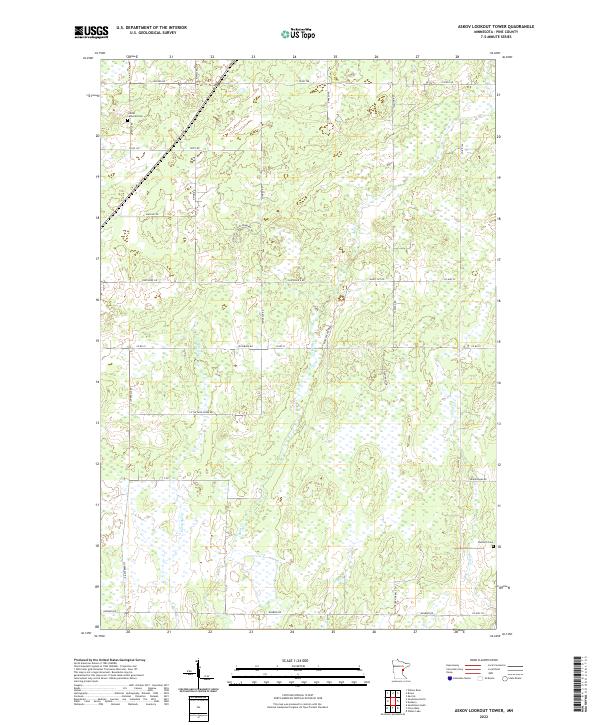 2022 Askov Lookout Tower2022 Print · USGSPine County's rural townships are documented here during the early 2020s, revealing a landscape shaped by winding creeks and a network of named country roads. Genealogists can trace family connections through the Vilstad Lutheran Cem and Danforth Cem, or follow the banks of Partridge Cr and Wolf Cr.
Showing maps 1-25 of 28
Top cities near Danforth Township
Frequently asked questions
- What are the different types of historical maps available for Danforth Township?
- What is the oldest map of Danforth Township?
- Where can I purchase historical maps of Danforth Township for my home or office?
- Where can I download high-res historical maps of Danforth Township?
- Are there historical topographic maps available for Danforth Township?
- Is there historical aerial imagery available for Danforth Township?
- Where are historical maps of Danforth Township sourced from?