Old Maps of Dell Grove Township, Minnesota
Explore 30 old maps of Dell Grove Township, spanning from 1953 to today. These high-resolution historic maps reveal how streets, neighborhoods, landmarks, and natural features evolved over time — perfect for genealogy, metal detecting, research, and local history exploration.
What you can do with these maps:
- See how Dell Grove Township changed over time: Compare historical maps to modern-day views to trace roads, homesites, rail lines & more.
- View detailed metadata: Each map includes creators, publishers, year, scale, and archive source.
- Overlay maps with satellite & LiDAR: Visualize the past alongside modern tools to explore terrain & human change.
- Trusted historical sources: Maps sourced from the USGS, Library of Congress, and other archives.
- Access maps your way: View online, download high-res files, or order prints for personal or research use.
Start exploring old maps of Dell Grove Township to uncover forgotten places, hidden landmarks, and the deep history beneath your feet.
Dell Grove Township, MN maps
(30)- 1953 Map of Duluth, 1964 Print
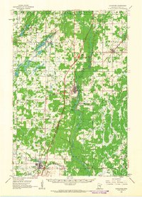
 1953 Duluth1964 Print · USGSNortheastern Minnesota and northwestern Wisconsin are shown here during a period of industrial maturity and expanding conservation. Genealogists and historians can trace rail-connected towns like McGrath and Wahkon, or locate heritage sites within the Fond du Lac Indian Reservation.2 unique versions available
 - 1958 Map of Duluth
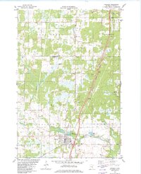
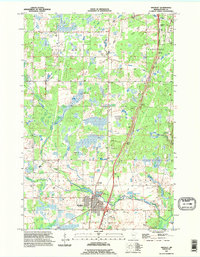
 1958 Duluth1958 Print · USGSNortheastern Minnesota and the Wisconsin borderlands are shown in detail during the late 1950s, centered on the bustling rail yards and ports of Duluth. You can trace the historic routes of the Soo Line and Duluth Missabe & Iron Range through small towns like McGrath, Bruno, and Wrenshall.
 - 1961 Map of Sandstone, 1963 Print
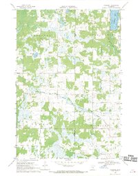
 1961 Sandstone1963 Print · USGSPine County in the early sixties centers on the river-and-rail corridor through Sandstone and Hinckley. Researchers can trace rural lineages through the Dell Grove Cem, Rose Hill Cem, and local schoolhouses like Cloverdale Sch.2 unique versions available
 - 1968 Map of Giese, 1970 Print
 1968 Giese1970 Print · USGSThe tri-county border of Aitkin, Pine, and Kanabec counties in the late sixties reveals a landscape of deep woods and interconnected glacial lakes. Genealogists and local historians can trace the rural infrastructure of Giese, including the Lakeview Sch, Township Cem, and the winding Pine River.
 - 1968 Map of Kroschel, 1970 Print
 1968 Kroschel1970 Print · USGSThe Kanabec and Pine county line in the late sixties reveals a landscape of wooded wetlands and isolated farmsteads. Genealogists and researchers can locate family sites near Kroschel, St John Ch, and the Trinity Cem along the Grindstone River branches.
 - 1980 Map of Sandstone
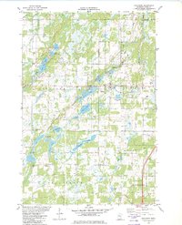
 1980 Sandstone1980 Print · USGSPine County and the Minnesota-Wisconsin borderlands are shown here in the early eighties as a region of dense state forests and river corridors. Genealogists and historians can trace rail-town development along the Burlington Northern including Sandstone, Askov, and Hinckley.
 - 1981 Map of Finlayson, 1982 Print
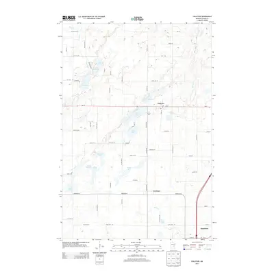
 1981 Finlayson1982 Print · USGSFinlayson and the surrounding Pine County wetlands are captured here in the early eighties as the region balanced its rail history with small-town growth. Genealogists and local researchers can trace the Finnish Cem, the Burlington Northern tracks, and old settlements like Groningen.
 - 1982 Map of Hinckley
 1982 Hinckley1982 Print · USGSPine County's rail and river landscape is captured here in the early eighties as the modern highway system bypasses traditional settlements. Genealogists and local historians can trace family sites at Emmanuel Ch, Evergreen Memorial Park, and the State Fish Hatchery.
 - 1985 Map of Mille Lacs Lake
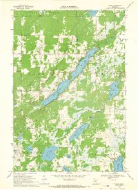
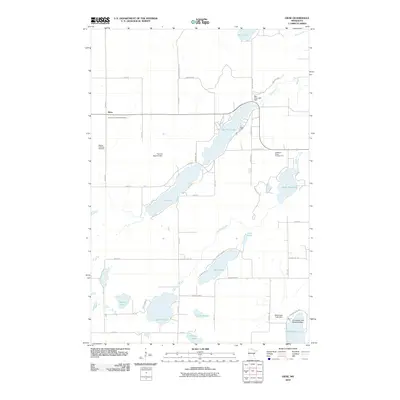
 1985 Mille Lacs Lake1985 Print · USGSMille Lacs Lake and its surrounding settlements are shown in the mid-1980s as a hub of lake-shore recreation and rail commerce. Researchers can trace historic transport lines like the Soo Line and locate communities such as Wahkon and Garrison.2 unique versions available
 - 1991 Map of Hinckley, 1995 Print
 1991 Hinckley1995 Print · USGSPine County in the early nineties shows a landscape shaped by the Grindstone River and the Burlington Northern railroad. Genealogists and researchers can locate landmarks like the State Fish Hatchery, the small village of Friesland, and the Municipal Airport.
 - 2010 Map of Finlayson, 2010 Print
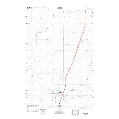
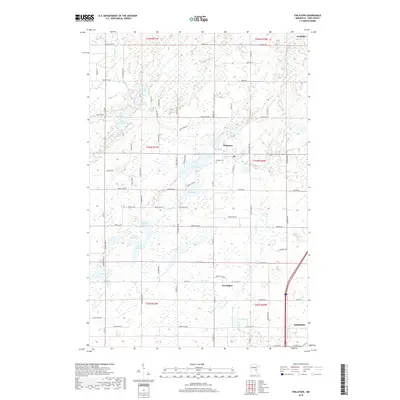
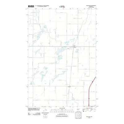 2010 Finlayson2010 Print · USGSCovers Dell Grove Township, including Sandstone, Finlayson, and other nearby areas
 - 2010 Map of Kroschel, 2010 Print
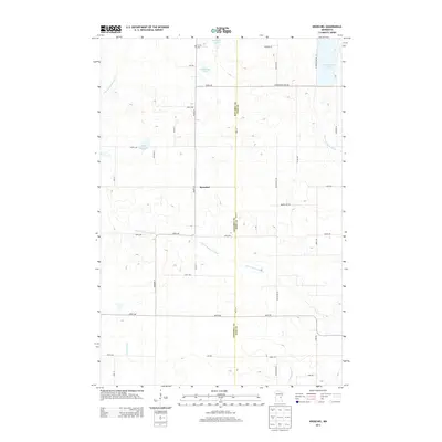
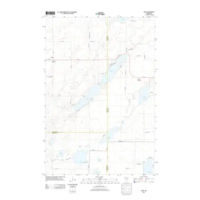
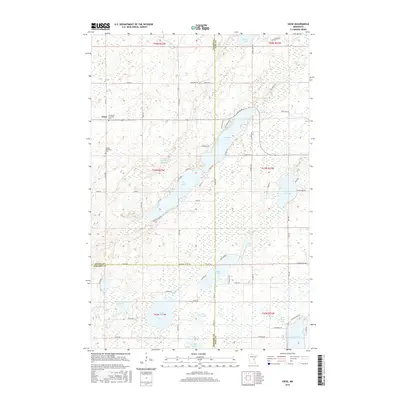
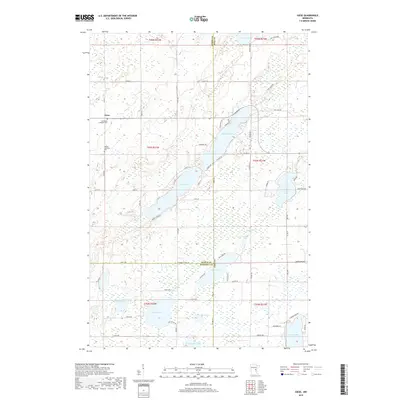
 2010 Kroschel2010 Print · USGSCovers Dell Grove Township, including Kroschel, Pomroy Township, and other nearby areas
 - 2010 Map of Hinckley, 2010 Print
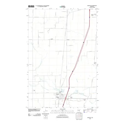 2010 Hinckley2010 Print · USGSCovers Dell Grove Township, including Sandstone, Hinckley, and other nearby areas
 - 2010 Map of Giese, 2010 Print
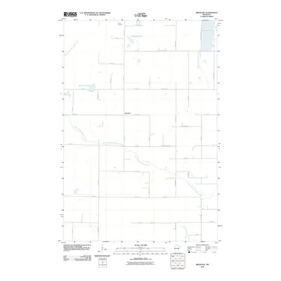
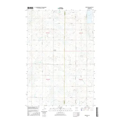
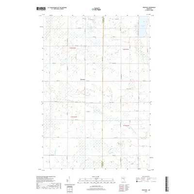
 2010 Giese2010 Print · USGSCovers Dell Grove Township, including Bremen Township, Pine Lake Township, and other nearby areas
 - 2013 Map of Kroschel, 2013 Print
 2013 Kroschel2013 Print · USGSCovers Dell Grove Township, including Kroschel, Pomroy Township, and other nearby areas
 - 2013 Map of Finlayson, 2013 Print
 2013 Finlayson2013 Print · USGSCovers Dell Grove Township, including Sandstone, Finlayson, and other nearby areas
 - 2013 Map of Hinckley, 2013 Print
 2013 Hinckley2013 Print · USGSCovers Dell Grove Township, including Sandstone, Hinckley, and other nearby areas
 - 2013 Map of Giese, 2013 Print
 2013 Giese2013 Print · USGSCovers Dell Grove Township, including Bremen Township, Pine Lake Township, and other nearby areas
 - 2016 Map of Giese, 2016 Print
 2016 Giese2016 Print · USGSCovers Dell Grove Township, including Bremen Township, Pine Lake Township, and other nearby areas
 - 2016 Map of Kroschel, 2016 Print
 2016 Kroschel2016 Print · USGSCovers Dell Grove Township, including Kroschel, Pomroy Township, and other nearby areas
 - 2016 Map of Hinckley, 2016 Print
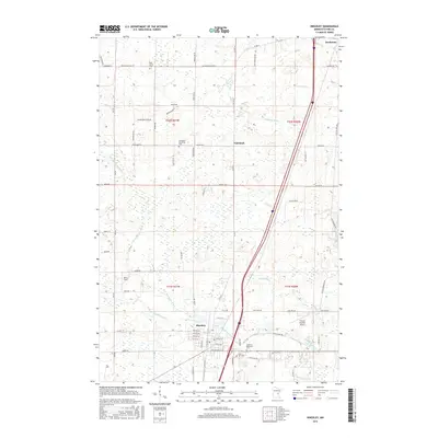 2016 Hinckley2016 Print · USGSCovers Dell Grove Township, including Sandstone, Hinckley, and other nearby areas
 - 2016 Map of Finlayson, 2016 Print
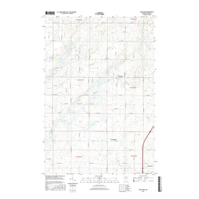 2016 Finlayson2016 Print · USGSCovers Dell Grove Township, including Sandstone, Finlayson, and other nearby areas
 - 2019 Map of Kroschel, 2019 Print
 2019 Kroschel2019 Print · USGSCovers Dell Grove Township, including Kroschel, Pomroy Township, and other nearby areas
 - 2019 Map of Giese, 2019 Print
 2019 Giese2019 Print · USGSCovers Dell Grove Township, including Bremen Township, Pine Lake Township, and other nearby areas
 - 2019 Map of Finlayson, 2019 Print
 2019 Finlayson2019 Print · USGSCovers Dell Grove Township, including Sandstone, Finlayson, and other nearby areas
Showing maps 1-25 of 30
Top cities near Dell Grove Township
- Sandstone historical maps
- Hinckley historical maps
- Willow River historical maps
- Askov historical maps
- Finlayson historical maps
- Kroschel historical maps
See more
Top neighborhoods of Dell Grove Township
Frequently asked questions
- What are the different types of historical maps available for Dell Grove Township?
- What is the oldest map of Dell Grove Township?
- Where can I purchase historical maps of Dell Grove Township for my home or office?
- Where can I download high-res historical maps of Dell Grove Township?
- Are there historical topographic maps available for Dell Grove Township?
- Is there historical aerial imagery available for Dell Grove Township?
- Where are historical maps of Dell Grove Township sourced from?