2000s (21st Century) Maps of Hinckley, Minnesota
Explore 10 historic maps of Hinckley from the 2000s (21st Century). These maps offer a rare glimpse into what life looked like during the 2000s — showing old roads, neighborhoods, homes, and landmarks that have changed or disappeared over time.
Whether you're researching your family's past, planning a metal detecting trip, or studying how Hinckley's landscape evolved across the 2000s, these high-resolution maps are a powerful tool for exploring the history of this region.
- Focus on a specific era: All maps on this page are from the 2000s, giving you a focused view of this time period.
- See what’s changed: Compare century-old streets, trails, and buildings to today's modern landscape using overlays and satellite layers.
- Research with precision: Use these maps for genealogy, historical research, land use analysis, or educational projects.
- View, download, or print: Maps are fully viewable online in high resolution, and can be downloaded or printed for your own records.
Start exploring Hinckley's history through authentic maps from the 2000s. This is your window into the past.
Hinckley, MN maps
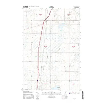
(10)- 2010 Map of Beroun, 2010 Print
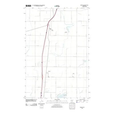 2010 Beroun2010 Print · USGSCovers Hinckley, including Mission Creek Township, Beroun, and other nearby areas
 - 2010 Map of Hinckley, 2010 Print
 2010 Hinckley2010 Print · USGSCovers Hinckley, including Sandstone, Dell Grove Township, and other nearby areas
 - 2013 Map of Hinckley, 2013 Print
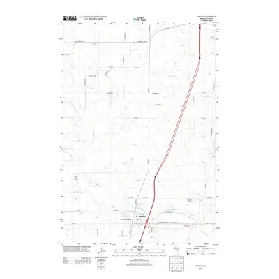 2013 Hinckley2013 Print · USGSCovers Hinckley, including Sandstone, Dell Grove Township, and other nearby areas
 - 2013 Map of Beroun, 2013 Print
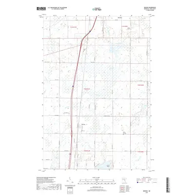
 2013 Beroun2013 Print · USGSCovers Hinckley, including Mission Creek Township, Beroun, and other nearby areas
 - 2016 Map of Beroun, 2016 Print
 2016 Beroun2016 Print · USGSCovers Hinckley, including Mission Creek Township, Beroun, and other nearby areas
 - 2016 Map of Hinckley, 2016 Print
 2016 Hinckley2016 Print · USGSCovers Hinckley, including Sandstone, Dell Grove Township, and other nearby areas
 - 2019 Map of Beroun, 2019 Print
 2019 Beroun2019 Print · USGSCovers Hinckley, including Mission Creek Township, Beroun, and other nearby areas
 - 2019 Map of Hinckley, 2019 Print
 2019 Hinckley2019 Print · USGSCovers Hinckley, including Sandstone, Dell Grove Township, and other nearby areas
 - 2022 Map of Beroun, 2022 Print
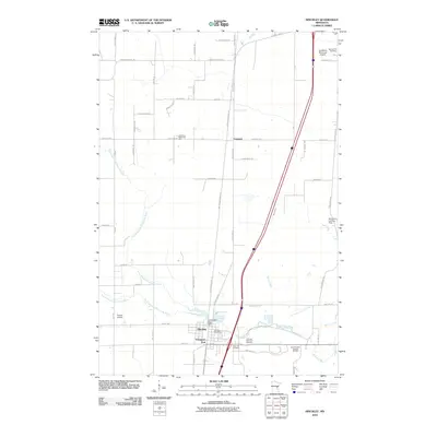
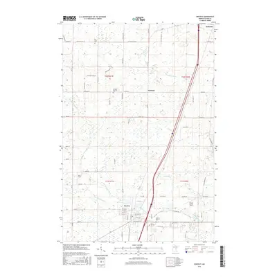
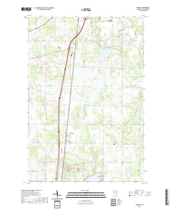 2022 Beroun2022 Print · USGSPine County settlement and transit come to life in this recent study of the area between Hinckley and the southern lakes. Genealogists can trace local roots at the Czech National Cem 1900 and Saint Joseph Cem near the BNSF Railway corridor.
 - 2022 Map of Hinckley, 2022 Print
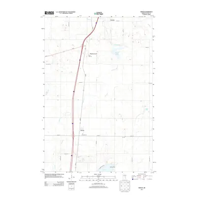
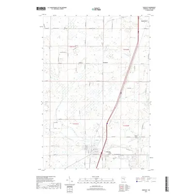
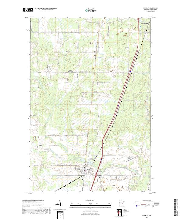 2022 Hinckley2022 Print · USGSPine County's Hinckley and Friesland areas are documented here in the early twenty-first century as the landscape maintains its traditional rural character. Trace local history through sites like Dell Grove Cem, the path of Old Military Rd, and the headwaters of the Grindstone River.
End of results
Showing maps 1-10 of 10
Top cities near Hinckley
- Pine City historical maps
- Sandstone historical maps
- Grantsburg historical maps
- Askov historical maps
- Finlayson historical maps
- Kroschel historical maps
See more
Top neighborhoods of Hinckley
Frequently asked questions
- What are the different types of historical maps available for Hinckley?
- What is the oldest map of Hinckley?
- Where can I purchase historical maps of Hinckley for my home or office?
- Where can I download high-res historical maps of Hinckley?
- Are there historical topographic maps available for Hinckley?
- Is there historical aerial imagery available for Hinckley?
- Where are historical maps of Hinckley sourced from?