Old Maps of Ogema Township, Minnesota
Explore 46 old maps of Ogema Township, spanning from 1949 to today. These high-resolution historic maps reveal how streets, neighborhoods, landmarks, and natural features evolved over time — perfect for genealogy, metal detecting, research, and local history exploration.
What you can do with these maps:
- See how Ogema Township changed over time: Compare historical maps to modern-day views to trace roads, homesites, rail lines & more.
- View detailed metadata: Each map includes creators, publishers, year, scale, and archive source.
- Overlay maps with satellite & LiDAR: Visualize the past alongside modern tools to explore terrain & human change.
- Trusted historical sources: Maps sourced from the USGS, Library of Congress, and other archives.
- Access maps your way: View online, download high-res files, or order prints for personal or research use.
Start exploring old maps of Ogema Township to uncover forgotten places, hidden landmarks, and the deep history beneath your feet.
Ogema Township, MN maps
(46)- 1949 Map of Danbury
 1949 Danbury1949 Print · USGSDanbury and the surrounding river country are captured here just after the war, showing the boundary lands of Burnett and Pine Counties. Genealogists can trace early rural schooling at Atkinson Sch or locate the Emergency Landing Field and Minerva Dam along the St Croix River.
 - 1950 Map of Webster
 1950 Webster1950 Print · USGSNorthern Wisconsin lake country is captured here at mid-century, centered on the growing village of Webster. Genealogists can locate rural landmarks like Karlsborg Cem, Yellow Lake Ch, and the Siren Landing Field.
 - 1950 Map of Grantsburg
 1950 Grantsburg1950 Print · USGSBurnett County was a landscape of river crossings and rural outposts at mid-century, bounded by the winding St Croix River. Genealogists and historians can locate legacy sites like Ekdall Sch, Wood Lake Ch, and the village of Grantsburg.
 - 1953 Map of Duluth, 1964 Print
 1953 Duluth1964 Print · USGSNortheastern Minnesota and northwestern Wisconsin are shown here during a period of industrial maturity and expanding conservation. Genealogists and historians can trace rail-connected towns like McGrath and Wahkon, or locate heritage sites within the Fond du Lac Indian Reservation.2 unique versions available
 - 1953 Map of Stillwater, 1980 Print
 1953 Stillwater1980 Print · USGSThe Twin Cities and the St. Croix Valley are captured in this mid-century survey as the interstate era began to transform the Upper Midwest. Genealogists and historians can trace the rail-and-river geography of Stillwater, locate landmarks in Anoka, or explore the sprawling St Croix State Park.
 - 1955 Map of Webster, 1957 Print
 1955 Webster1957 Print · USGSBurnett County in the mid-fifties is a landscape of glacial lakes and growing lakeside communities like Webster and Siren. Researchers can trace old rural school districts and landmarks such as the Burnett County Airport, Karlsborg Sch, and the Orange Cem.3 unique versions available
 - 1955 Map of Stillwater, 1965 Print
 1955 Stillwater1965 Print · USGSThe Upper St. Croix Valley and the growing Twin Cities area are shown here during the mid-fifties, before the interstate era transformed the regional commute. You can trace the lines of the Northern Pacific RR through towns like Rush City or locate the Saint Croix Indian Reservation.
 - 1958 Map of Stillwater
 1958 Stillwater1958 Print · USGSThe Upper Mississippi and St. Croix River valleys appear in the mid-fifties as the Twin Cities expanded north. Genealogists can locate family landmarks like Oak Park Cem, Saint Michael Church, and the Soo Line RR rail corridors.2 unique versions available
 - 1958 Map of Duluth
 1958 Duluth1958 Print · USGSNortheastern Minnesota and the Wisconsin borderlands are shown in detail during the late 1950s, centered on the bustling rail yards and ports of Duluth. You can trace the historic routes of the Soo Line and Duluth Missabe & Iron Range through small towns like McGrath, Bruno, and Wrenshall.
 - 1962 Map of Cloverdale, 1964 Print
 1962 Cloverdale1964 Print · USGSPine County's forested eastern reaches are captured here in the early 1960s, showing the quiet townships before modern developments. Local researchers can locate rural landmarks like the Danforth Sch, the Sand Creek Chapel, and the Great Northern rail line.2 unique versions available
 - 1962 Map of Grantsburg, 1964 Print
 1962 Grantsburg1964 Print · USGSThe St. Croix River valley in the early 1960s reveals a unique landscape of wetlands and wildlife conservation. Genealogists and historians can trace rural landmarks like Ekdall Ch Cem, Midway Tabernacle, and the Old Railroad Grade.
 - 1962 Map of Danbury, 1964 Print
 1962 Danbury1964 Print · USGSThe border country of the Saint Croix River is captured here in the early sixties as recreational forests grew around old rail stops. Tracing the Soo Line reveals the small settlements of Kingsdale and Cloverton tucked between Nemadji State Forest and the river.2 unique versions available
 - 1965 Map of Stillwater
 1965 Stillwater1965 Print · USGSThe Twin Cities and the St. Croix Valley are mapped here during a period of significant post-war growth and industrial transit. Genealogists and historians can trace rail lines like the Northern Pacific RR through towns such as Rush City, Amery, and Balsam Lake.
 - 1975 Map of Stillwater
 1975 Stillwater1975 Print · USGSThe Twin Cities and the St. Croix Valley are captured in the mid-seventies, showing the urban growth of Minneapolis and St Paul. Researchers can trace old rail corridors of the Northern Pacific RR and locate tribal lands at the Mille Lacs Indian Reservation.2 unique versions available
 - 1980 Map of Sandstone
 1980 Sandstone1980 Print · USGSPine County and the Minnesota-Wisconsin borderlands are shown here in the early eighties as a region of dense state forests and river corridors. Genealogists and historians can trace rail-town development along the Burlington Northern including Sandstone, Askov, and Hinckley.
 - 1981 Map of Wilbur Lake, 1982 Print
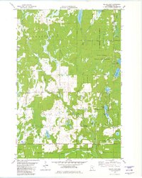 1981 Wilbur Lake1982 Print · USGSThe Pine County backwoods come into focus in the early eighties, showing a landscape defined by state forests and conservation areas. Researchers can trace the wetlands of the Mc Gowan State Wildlife Management Area or locate family sites near Wilbur Lake and Lake Olive.
 - 1982 Map of Yellow Lake, 1983 Print
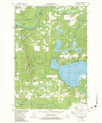 1982 Yellow Lake1983 Print · USGSNorthwestern Wisconsin at the start of the 1980s was a landscape defined by state forests and the winding St. Croix River. Researchers can locate remote cemeteries and camps like Bluff Lake Cem, St Johns Landing, and the Ice House Bridge.
 - 1982 Map of Monson Lake, 1983 Print
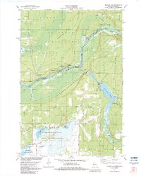 1982 Monson Lake1983 Print · USGSUpper Wisconsin’s river borderlands are documented here in the early 1980s, showcasing the transition from state forests to vast wildlife refuges. Researchers can locate family landmarks like the Peet Cem, trace Peet Post Office Road, and find the St Johns Landing Camp along the riverbanks.
 - 1983 Map of Danbury East
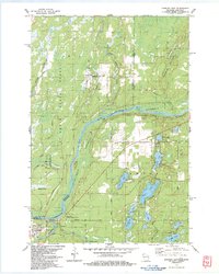 1983 Danbury East1983 Print · USGSThe river border between Wisconsin and Minnesota comes into focus in the early 1980s, highlighting the wild corridor of the St Croix River. Genealogists and local historians can trace the tracks of the Soo Line, locate the Cem at Markville, and explore the layout of Danbury.
 - 1983 Map of Danbury West
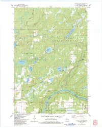 1983 Danbury West1983 Print · USGSThe river borderlands of Burnett County were deeply tied to conservation and tribal heritage in the early 1980s. Genealogists and historians can trace family markers at Lena Lake Cem and explore the geography of the Mille Lacs Indian Reservation.
 - 1985 Map of Grantsburg
 1985 Grantsburg1985 Print · USGSThe river borderlands of Minnesota and Wisconsin come alive in the mid-1980s, showcasing the intricate water networks and forest preserves of Burnett and Pine counties. Trace the rail lines of the Soo Line or find rural landmarks like Trade Lake Ch and Hildas Corner.2 unique versions available
 - 2010 Map of Yellow Lake, 2010 Print
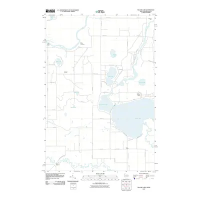 2010 Yellow Lake2010 Print · USGSThe interconnected waterways of Burnett County take center stage in this 2010 survey of the Yellow Lake region. Genealogists and researchers can trace family landmarks at Bluff Lake Cemetery, the Danbury Dam, and the river crossing at Ice House Bridge.
 - 2010 Map of Monson Lake, 2010 Print
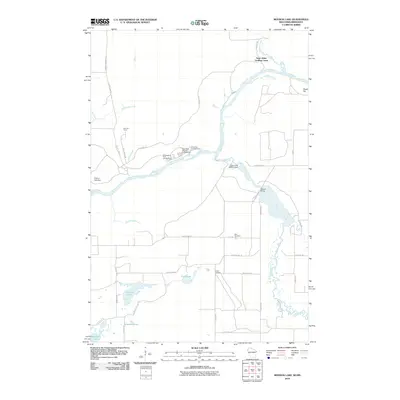 2010 Monson Lake2010 Print · USGSThe Saint Croix River valley at the Minnesota-Wisconsin border shows a landscape shaped by water and timber at the start of the 21st century. Genealogists and local historians can trace legacy sites like Peet Cemetery, Reed Corners, and the old Fleming Logging Rd.
 - 2010 Map of Danbury West, 2010 Print
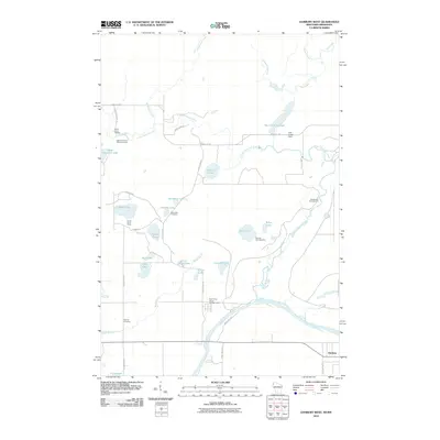 2010 Danbury West2010 Print · USGSPine County and the border of Wisconsin are defined by the river and forest at the start of the twenty-first century. Genealogists and historians can locate the Native American Burial Grounds, Lena Lake Cemetery, and the Hay Creek Dam.
 - 2010 Map of Wilbur Lake, 2010 Print
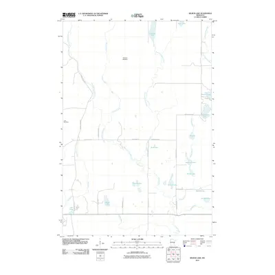 2010 Wilbur Lake2010 Print · USGSPine County’s wetland and timber landscapes are captured here at the start of the 2010s. Researchers can trace the complex drainage basins of the Lower Tamarack River and Crooked Creek, and find family-named landmarks like Fleming Logging Rd and Irons Pool Dam.
Showing maps 1-25 of 46
Top cities near Ogema Township
Top neighborhoods of Ogema Township
Frequently asked questions
- What are the different types of historical maps available for Ogema Township?
- What is the oldest map of Ogema Township?
- Where can I purchase historical maps of Ogema Township for my home or office?
- Where can I download high-res historical maps of Ogema Township?
- Are there historical topographic maps available for Ogema Township?
- Is there historical aerial imagery available for Ogema Township?
- Where are historical maps of Ogema Township sourced from?