Old Maps of Pine City Township, Minnesota for Hiking & Exploration
Hike through history with 28 historic maps of Pine City Township. Explore old trails, ghost towns, and forgotten backroads — perfect for outdoor adventurers and local explorers.
- Rediscover forgotten places: Map out old mining camps, roads, and footpaths that no longer exist on modern maps.
- Layer with modern tools: Combine with LiDAR or satellite views to plan hikes through historical terrain.
- Made for exploration: Popular among hikers, overlanders, and local history lovers.
Use these maps to find adventure and explore the hidden past of Pine City Township.
Pine City Township, MN maps
(28)- 1953 Map of Stillwater, 1980 Print
 1953 Stillwater1980 Print · USGSThe Twin Cities and the St. Croix Valley are captured in this mid-century survey as the interstate era began to transform the Upper Midwest. Genealogists and historians can trace the rail-and-river geography of Stillwater, locate landmarks in Anoka, or explore the sprawling St Croix State Park.
 - 1955 Map of Stillwater, 1965 Print
 1955 Stillwater1965 Print · USGSThe Upper St. Croix Valley and the growing Twin Cities area are shown here during the mid-fifties, before the interstate era transformed the regional commute. You can trace the lines of the Northern Pacific RR through towns like Rush City or locate the Saint Croix Indian Reservation.
 - 1958 Map of Stillwater
 1958 Stillwater1958 Print · USGSThe Upper Mississippi and St. Croix River valleys appear in the mid-fifties as the Twin Cities expanded north. Genealogists can locate family landmarks like Oak Park Cem, Saint Michael Church, and the Soo Line RR rail corridors.2 unique versions available
 - 1961 Map of Brook Park, 1963 Print
 1961 Brook Park1963 Print · USGSSettlements along the Great Northern railroad thrived in the early sixties as they served this stretch of Pine and Kanabec counties. Genealogists and historians can trace family locations near the Brook Park Cem, Grasston, and the St Gerard Mission House.2 unique versions available
 - 1961 Map of Pine City, 1963 Print
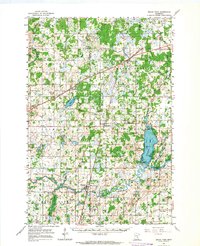
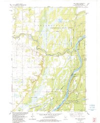
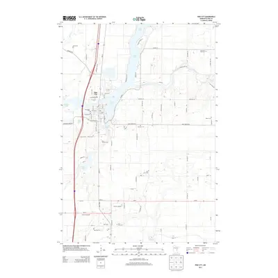
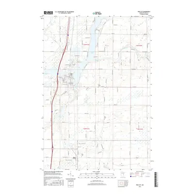
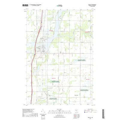
 1961 Pine City1963 Print · USGSPine City and the surrounding river valleys are captured here in the early 1960s as Interstate 35 began to reshape the region. Genealogists can trace family footprints across numerous sites like the Bohemian Cem, Milburn Ch, and over ten numbered schoolhouses.2 unique versions available
 - 1965 Map of Stillwater
 1965 Stillwater1965 Print · USGSThe Twin Cities and the St. Croix Valley are mapped here during a period of significant post-war growth and industrial transit. Genealogists and historians can trace rail lines like the Northern Pacific RR through towns such as Rush City, Amery, and Balsam Lake.
 - 1975 Map of Stillwater
 1975 Stillwater1975 Print · USGSThe Twin Cities and the St. Croix Valley are captured in the mid-seventies, showing the urban growth of Minneapolis and St Paul. Researchers can trace old rail corridors of the Northern Pacific RR and locate tribal lands at the Mille Lacs Indian Reservation.2 unique versions available
 - 1983 Map of Pine City, 1984 Print
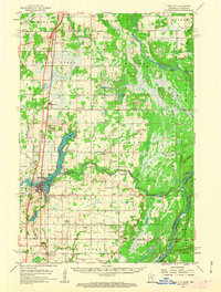
 1983 Pine City1984 Print · USGSPine City and the Snake River corridor are captured here during the early 1980s, showcasing a landscape of lakeside development and rural transition. Local researchers can trace the Old Military Road, locate the Bohemian Cem, or find long-standing landmarks like the Drive-in Theater.
 - 1983 Map of Henriette, 1984 Print
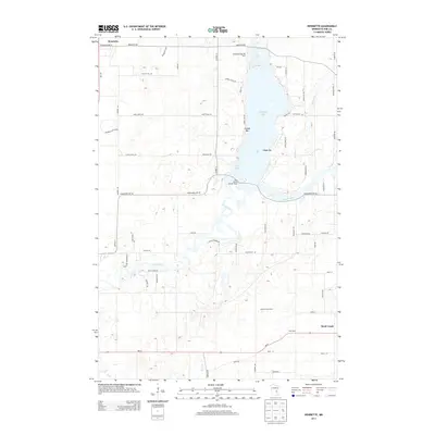
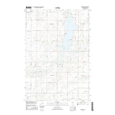
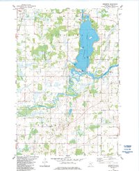 1983 Henriette1984 Print · USGSThe waters of Pokegama Lake and the Snake River define this Pine County landscape during the early 1980s. Local researchers can locate the Fur Post Historic Site, trace the Burlington Northern line through Henriette, and identify family landmarks like Tuxedo Bar.2 unique versions available
 - 1983 Map of Bass Creek, 1984 Print
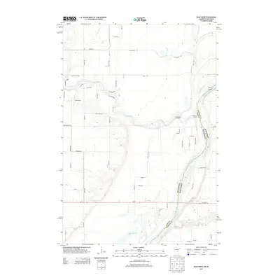
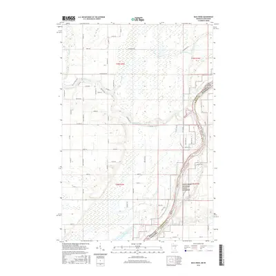
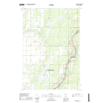
 1983 Bass Creek1984 Print · USGSThe river valley along the Minnesota-Wisconsin border is shown here in the early eighties, showcasing the intersection of protected state lands and waterway navigation. Researchers can trace the courses of the Snake River and St Croix River while locating landmarks like Soderbeck Landing and Seven Islands.2 unique versions available
 - 1985 Map of Grantsburg
 1985 Grantsburg1985 Print · USGSThe river borderlands of Minnesota and Wisconsin come alive in the mid-1980s, showcasing the intricate water networks and forest preserves of Burnett and Pine counties. Trace the rail lines of the Soo Line or find rural landmarks like Trade Lake Ch and Hildas Corner.2 unique versions available
 - 1985 Map of Mora
 1985 Mora1985 Print · USGSCentral Minnesota's river valleys and farming hubs are captured here in the mid-eighties, showing the region before significant modern expansion. Researchers can trace historic rail lines like the Burlington Northern and locate community landmarks in Mora, Milaca, and Princeton.
 - 1991 Map of Mora
 1991 Mora1991 Print · USGSThe Rum River valley and central Minnesota lakelands are shown in great detail in the early 1990s. Genealogists and local historians can trace rural school locations, family cemeteries, and local landmarks like St. Marys Ch or the Municipal Airport in Mora.
 - 2010 Map of Bass Creek, 2010 Print
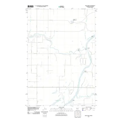 2010 Bass Creek2010 Print · USGSCovers Pine City Township, including Rock Creek, West Marshland, and other nearby areas
 - 2010 Map of Pine City, 2010 Print
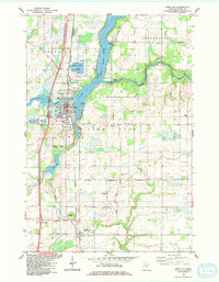
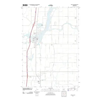 2010 Pine City2010 Print · USGSCovers Pine City Township, including Pine City, Rock Creek, and other nearby areas
 - 2010 Map of Henriette, 2010 Print
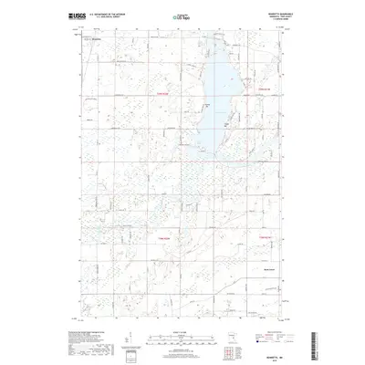
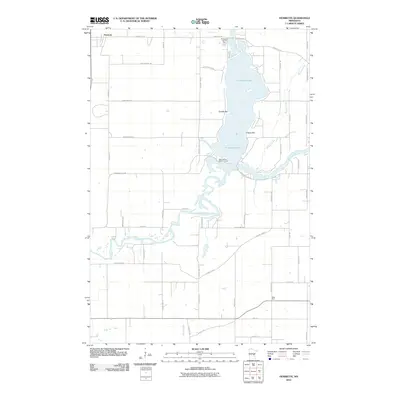 2010 Henriette2010 Print · USGSCovers Pine City Township, including Rock Creek, Henriette, and other nearby areas
 - 2013 Map of Henriette, 2013 Print
 2013 Henriette2013 Print · USGSCovers Pine City Township, including Rock Creek, Henriette, and other nearby areas
 - 2013 Map of Pine City, 2013 Print
 2013 Pine City2013 Print · USGSCovers Pine City Township, including Pine City, Rock Creek, and other nearby areas
 - 2013 Map of Bass Creek, 2013 Print
 2013 Bass Creek2013 Print · USGSCovers Pine City Township, including Rock Creek, West Marshland, and other nearby areas
 - 2016 Map of Bass Creek, 2016 Print
 2016 Bass Creek2016 Print · USGSCovers Pine City Township, including Rock Creek, West Marshland, and other nearby areas
 - 2016 Map of Pine City, 2016 Print
 2016 Pine City2016 Print · USGSCovers Pine City Township, including Pine City, Rock Creek, and other nearby areas
 - 2016 Map of Henriette, 2016 Print
 2016 Henriette2016 Print · USGSCovers Pine City Township, including Rock Creek, Henriette, and other nearby areas
 - 2019 Map of Henriette, 2019 Print
 2019 Henriette2019 Print · USGSCovers Pine City Township, including Rock Creek, Henriette, and other nearby areas
 - 2019 Map of Bass Creek, 2019 Print
 2019 Bass Creek2019 Print · USGSCovers Pine City Township, including Rock Creek, West Marshland, and other nearby areas
 - 2019 Map of Pine City, 2019 Print
 2019 Pine City2019 Print · USGSCovers Pine City Township, including Pine City, Rock Creek, and other nearby areas
Showing maps 1-25 of 28
Top cities near Pine City Township
- Pine City historical maps
- Rush City historical maps
- Grantsburg historical maps
- Hinckley historical maps
- Rock Creek historical maps
- Harris historical maps
See more
Frequently asked questions
- What are the different types of historical maps available for Pine City Township?
- What is the oldest map of Pine City Township?
- Where can I purchase historical maps of Pine City Township for my home or office?
- Where can I download high-res historical maps of Pine City Township?
- Are there historical topographic maps available for Pine City Township?
- Is there historical aerial imagery available for Pine City Township?
- Where are historical maps of Pine City Township sourced from?