Old Maps of Crooks Township, Minnesota
Explore 29 old maps of Crooks Township, spanning from 1953 to today. These high-resolution historic maps reveal how streets, neighborhoods, landmarks, and natural features evolved over time — perfect for genealogy, metal detecting, research, and local history exploration.
What you can do with these maps:
- See how Crooks Township changed over time: Compare historical maps to modern-day views to trace roads, homesites, rail lines & more.
- View detailed metadata: Each map includes creators, publishers, year, scale, and archive source.
- Overlay maps with satellite & LiDAR: Visualize the past alongside modern tools to explore terrain & human change.
- Trusted historical sources: Maps sourced from the USGS, Library of Congress, and other archives.
- Access maps your way: View online, download high-res files, or order prints for personal or research use.
Start exploring old maps of Crooks Township to uncover forgotten places, hidden landmarks, and the deep history beneath your feet.
Crooks Township, MN maps
(29)- 1953 Map of New Ulm, 1968 Print
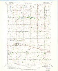
 1953 New Ulm1968 Print · USGSSouthern Minnesota in the mid-1950s is defined by its deep river valleys and the expanding reach of the Great Northern and Chicago and North Western railroads. Researchers can trace rural lineages through landmarks like the Milford State Monument, St. John's Ch, and the Upper Sioux Indian Res.3 unique versions available
 - 1957 Map of New Ulm
 1957 New Ulm1957 Print · USGSCentral Minnesota in the mid-fifties remains a landscape of river-valley commerce and prairie agriculture defined by its historic mission sites and rail towns. Genealogists and local historians can trace the development of New Ulm and Montevideo, or locate specific landmarks like the Milford State Monument and Minnesota Falls.
 - 1958 Map of New Ulm
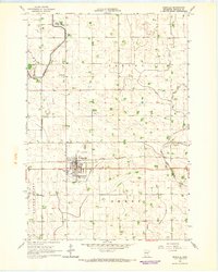
 1958 New Ulm1958 Print · USGSSouth-central Minnesota’s river valleys and prairie towns are captured here in the mid-fifties, during the height of the region's rail-and-river economy. Genealogists and historians can trace the legacy of the Upper Sioux Indian Mission or locate early rail stops along the Chicago and North Western Ry in towns like Redwood Falls and Glencoe.
 - 1965 Map of Danube, 1966 Print
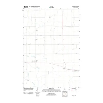
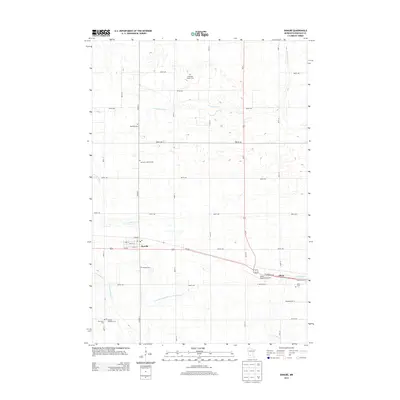
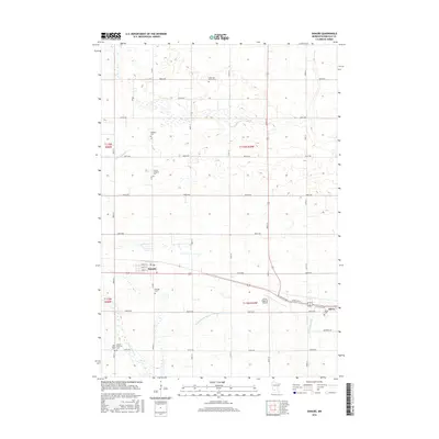
 1965 Danube1966 Print · USGSRenville County farmland is captured here in the mid-1960s, showing the vital intersection of rail and road through Danube. Researchers can trace old family sites near the United Brethren Cem or follow the path of the Chicago Milwaukee St Paul and Pacific railroad.
 - 1965 Map of Blomkest, 1966 Print
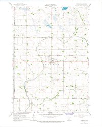
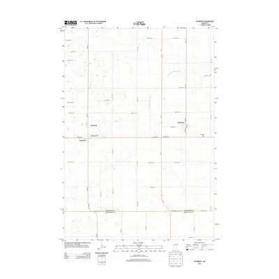
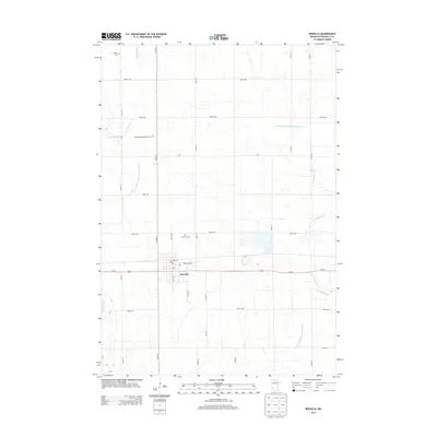
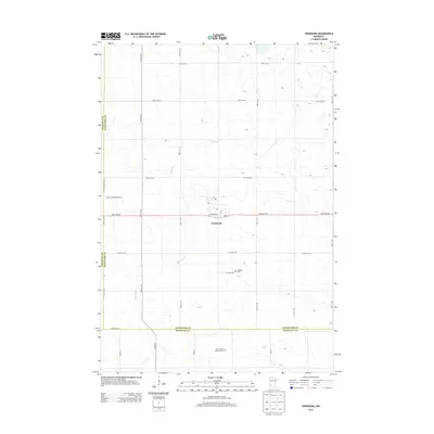
 1965 Blomkest1966 Print · USGSThe prairie landscape of southern Kandiyohi County is captured here in the mid-1960s, showing a region defined by its rail-and-ditch infrastructure. Genealogists can trace the rural layout of Roseland, locate the Blomkest Cemetery, and follow the Chicago and North Western rail line.
 - 1965 Map of Renville, 1967 Print
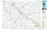
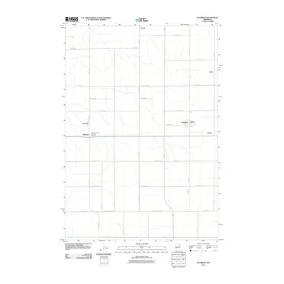
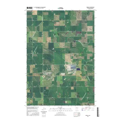
 1965 Renville1967 Print · USGSRenville was a bustling prairie rail hub in the mid-1960s, defined by its connection to the Chicago Milwaukee St Paul and Pacific line. Genealogists and historians can trace local landmarks like Ebenezer Ch, Emden Cem, and the old city Townhall.
 - 1965 Map of Prinsburg, 1967 Print
 1965 Prinsburg1967 Print · USGSThe rural agricultural landscapes of Kandiyohi County are shown here in the mid-1960s as a complex network of managed drainage and rail transit. Researchers can locate community anchors like Prinsburg, Holland Cem, and School No 815 along the Chicago and North Western line.
 - 1967 Map of New Ulm
 1967 New Ulm1967 Print · USGSSouthern Minnesota in the mid-fifties is captured here as a landscape of river-valley missions and busy prairie rail towns. Researchers can trace the Yellow Medicine Trail and locate historic sites like the Morton Indian Mission and Milford State Monument.
 - 1986 Map of Montevideo
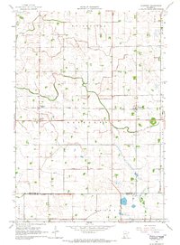
 1986 Montevideo1986 Print · USGSWestern Minnesota’s river valleys and prairie townships are captured here in the mid-eighties, showing the region's agricultural and rail network. Trace family roots and local history through Montevideo, Granite Falls, and the Upper Sioux Agency State Park.2 unique versions available
 - 2010 Map of Blomkest, 2010 Print
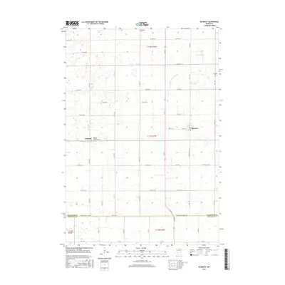
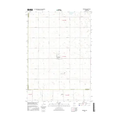
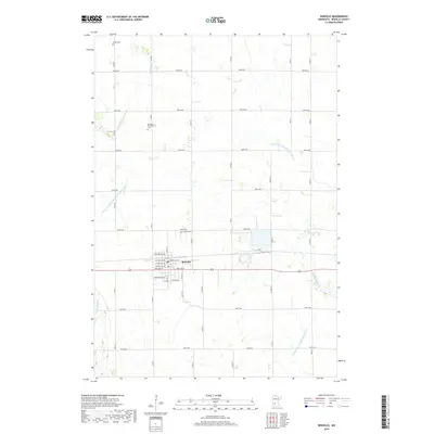
 2010 Blomkest2010 Print · USGSCovers Crooks Township, including Roseland, Roseland, and other nearby areas
 - 2010 Map of Prinsburg, 2010 Print
 2010 Prinsburg2010 Print · USGSCovers Crooks Township, including Prinsburg, Kandiyohi County, and other nearby areas
 - 2010 Map of Renville, 2010 Print
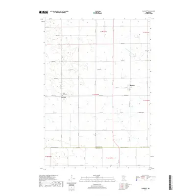
 2010 Renville2010 Print · USGSCovers Crooks Township, including Renville, Emmet Township, and other nearby areas
 - 2010 Map of Danube, 2010 Print
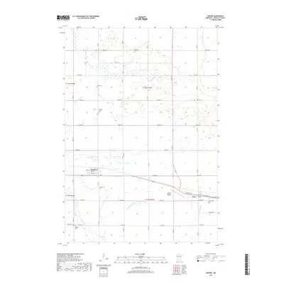
 2010 Danube2010 Print · USGSCovers Crooks Township, including Olivia, Danube, and other nearby areas
 - 2013 Map of Blomkest, 2013 Print
 2013 Blomkest2013 Print · USGSCovers Crooks Township, including Roseland, Roseland, and other nearby areas
 - 2013 Map of Danube, 2013 Print
 2013 Danube2013 Print · USGSCovers Crooks Township, including Olivia, Danube, and other nearby areas
 - 2013 Map of Renville, 2013 Print
 2013 Renville2013 Print · USGSCovers Crooks Township, including Renville, Emmet Township, and other nearby areas
 - 2013 Map of Prinsburg, 2013 Print
 2013 Prinsburg2013 Print · USGSCovers Crooks Township, including Prinsburg, Kandiyohi County, and other nearby areas
 - 2016 Map of Blomkest, 2016 Print
 2016 Blomkest2016 Print · USGSCovers Crooks Township, including Roseland, Roseland, and other nearby areas
 - 2016 Map of Renville, 2016 Print
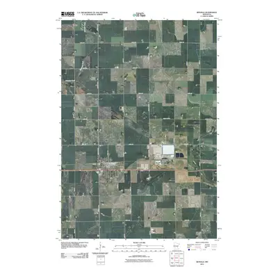
 2016 Renville2016 Print · USGSCovers Crooks Township, including Renville, Emmet Township, and other nearby areas
 - 2016 Map of Danube, 2016 Print
 2016 Danube2016 Print · USGSCovers Crooks Township, including Olivia, Danube, and other nearby areas
 - 2016 Map of Prinsburg, 2016 Print
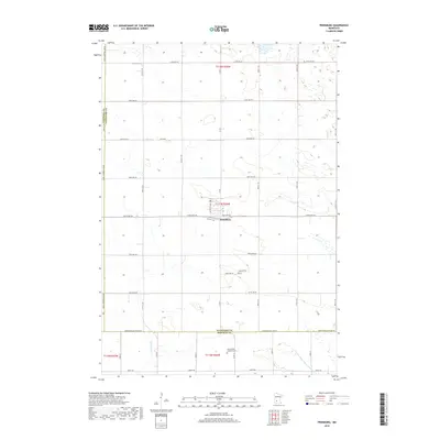
 2016 Prinsburg2016 Print · USGSCovers Crooks Township, including Prinsburg, Kandiyohi County, and other nearby areas
 - 2019 Map of Prinsburg, 2019 Print
 2019 Prinsburg2019 Print · USGSCovers Crooks Township, including Prinsburg, Kandiyohi County, and other nearby areas
 - 2019 Map of Danube, 2019 Print
 2019 Danube2019 Print · USGSCovers Crooks Township, including Olivia, Danube, and other nearby areas
 - 2019 Map of Blomkest, 2019 Print
 2019 Blomkest2019 Print · USGSCovers Crooks Township, including Roseland, Roseland, and other nearby areas
 - 2019 Map of Renville, 2019 Print
 2019 Renville2019 Print · USGSCovers Crooks Township, including Renville, Emmet Township, and other nearby areas
Showing maps 1-25 of 29
Top cities near Crooks Township
- Olivia historical maps
- Clara City historical maps
- Renville historical maps
- Raymond historical maps
- Sacred Heart historical maps
- Roseland historical maps
See more
Frequently asked questions
- What are the different types of historical maps available for Crooks Township?
- What is the oldest map of Crooks Township?
- Where can I purchase historical maps of Crooks Township for my home or office?
- Where can I download high-res historical maps of Crooks Township?
- Are there historical topographic maps available for Crooks Township?
- Is there historical aerial imagery available for Crooks Township?
- Where are historical maps of Crooks Township sourced from?