Old Maps of Prairieville, Minnesota for Genealogy
Trace your family roots with 10 historic maps of Prairieville. These high-res maps reveal old neighborhoods, homesites, landmarks, and streets — helping you uncover where your ancestors lived and how the area evolved over time.
- Explore historic neighborhoods: Identify where your relatives may have lived in the 1800s or 1900s.
- Compare maps over time: Trace the changes in streets, buildings, and landmarks for multi-generational research.
- Perfect for genealogy & ancestry research: Used by family historians and researchers to map out lineage and migration.
These maps are an incredible resource for exploring your personal connection to Prairieville's past.
Prairieville, MN maps
(10)- 1953 Map of Saint Paul, 1964 Print
 1953 Saint Paul1964 Print · USGSThe Twin Cities and the Mississippi River valley are captured here at a mid-century turning point. Trace the early growth of Minneapolis and Saint Paul alongside landmarks like Lake Minnetonka and the St Croix River.4 unique versions available
 - 1959 Map of Saint Paul
 1959 Saint Paul1959 Print · USGSThe Twin Cities and southeastern Minnesota appear here in the late fifties, showing the peak of the rail era and post-war suburban growth. Genealogists can trace family footprints near Lake Minnetonka, the Univ Of Minn Rosemount Research Center, or the growing neighborhoods of Richfield.2 unique versions available
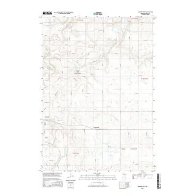
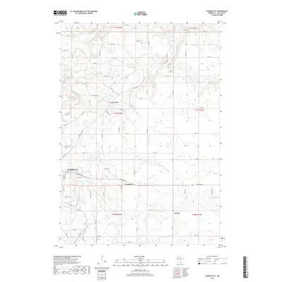
 - 1960 Map of Cannon City, 1961 Print
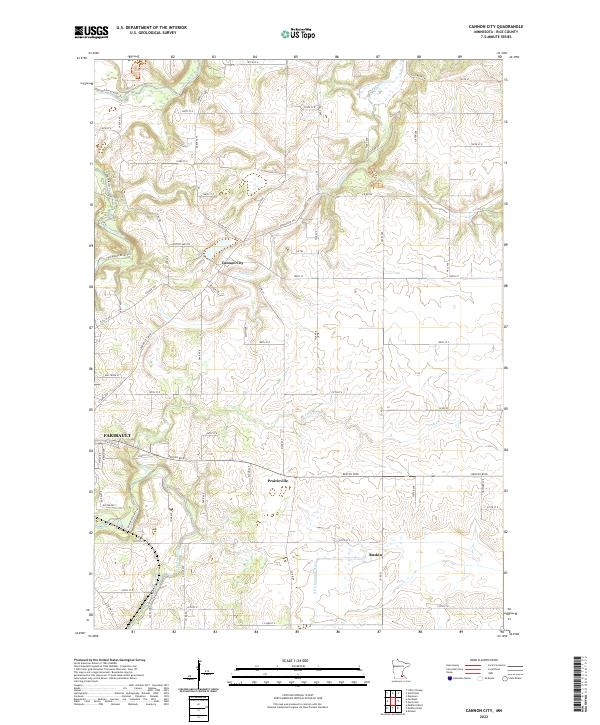
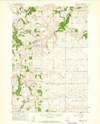 1960 Cannon City1961 Print · USGSRice County farmland and small crossroads settlements are captured here in the early sixties. Researchers can trace the rail corridors of the Chicago and North Western or locate local landmarks like Crystal Lake and the Wide Awake Sch.2 unique versions available
 - 1985 Map of Faribault, 1986 Print
 1985 Faribault1986 Print · USGSThe Minnesota River valley and the glacial lake country of Rice and Le Sueur counties are shown here in the mid-1980s. Researchers can trace the academic grounds of St Olaf College or find old crossroads like Trondhjem and Little Chicago.2 unique versions available
 - 1991 Map of Cannon City, 1995 Print
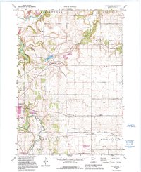 1991 Cannon City1995 Print · USGSRice County's agricultural landscape is captured here in the early nineties, showing the convergence of the Cannon and Straight Rivers. Genealogists can locate rural school sites like Wide Awake Sch and small settlements including Prairieville and Ruskin.
 - 2010 Map of Cannon City, 2010 Print
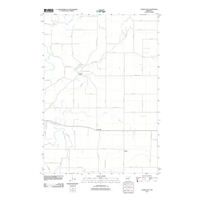 2010 Cannon City2010 Print · USGSCovers Prairieville, including Faribault, Cannon City, and other nearby areas
 - 2013 Map of Cannon City, 2013 Print
 2013 Cannon City2013 Print · USGSCovers Prairieville, including Faribault, Cannon City, and other nearby areas
 - 2016 Map of Cannon City, 2016 Print
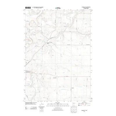
 2016 Cannon City2016 Print · USGSCovers Prairieville, including Faribault, Cannon City, and other nearby areas
 - 2019 Map of Cannon City, 2019 Print
 2019 Cannon City2019 Print · USGSCovers Prairieville, including Faribault, Cannon City, and other nearby areas
 - 2022 Map of Cannon City, 2022 Print
 2022 Cannon City2022 Print · USGSRice County agricultural lands and the northern reaches of the regional hub of Faribault are shown here in the early twenty-first century. Genealogists and local historians can trace the rural landscape between Cannon City and Prairieville along the Straight River.
End of results
Showing maps 1-10 of 10
Top cities near Prairieville
- Owatonna historical maps
- Faribault historical maps
- Northfield historical maps
- Lonsdale historical maps
- Kenyon historical maps
- Warsaw historical maps
See more
Frequently asked questions
- What are the different types of historical maps available for Prairieville?
- What is the oldest map of Prairieville?
- Where can I purchase historical maps of Prairieville for my home or office?
- Where can I download high-res historical maps of Prairieville?
- Are there historical topographic maps available for Prairieville?
- Is there historical aerial imagery available for Prairieville?
- Where are historical maps of Prairieville sourced from?