2000s (21st Century) Maps of Luverne Township, Minnesota
Explore 20 historic maps of Luverne Township from the 2000s (21st Century). These maps offer a rare glimpse into what life looked like during the 2000s — showing old roads, neighborhoods, homes, and landmarks that have changed or disappeared over time.
Whether you're researching your family's past, planning a metal detecting trip, or studying how Luverne Township's landscape evolved across the 2000s, these high-resolution maps are a powerful tool for exploring the history of this region.
- Focus on a specific era: All maps on this page are from the 2000s, giving you a focused view of this time period.
- See what’s changed: Compare century-old streets, trails, and buildings to today's modern landscape using overlays and satellite layers.
- Research with precision: Use these maps for genealogy, historical research, land use analysis, or educational projects.
- View, download, or print: Maps are fully viewable online in high resolution, and can be downloaded or printed for your own records.
Start exploring Luverne Township's history through authentic maps from the 2000s. This is your window into the past.
Luverne Township, MN maps
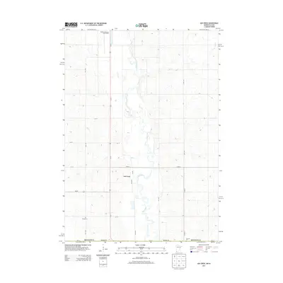
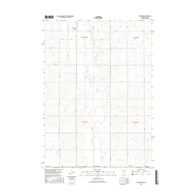
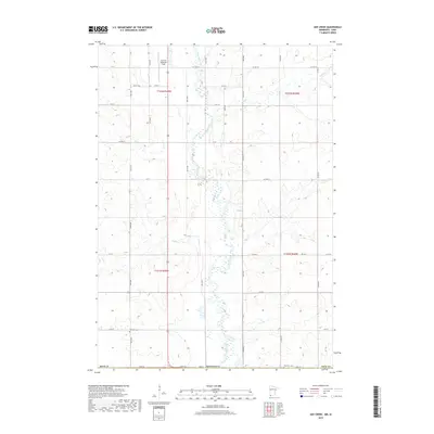
(20)- 2010 Map of Ash Creek, 2010 Print
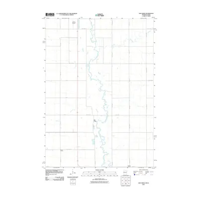 2010 Ash Creek2010 Print · USGSCovers Luverne Township, including Allison Township, Ash Creek, and other nearby areas
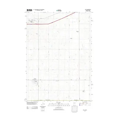
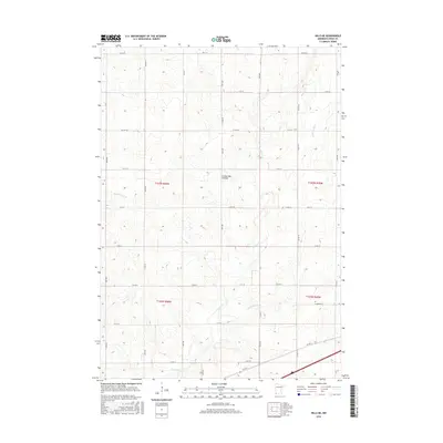
 - 2010 Map of Hills NE, 2010 Print
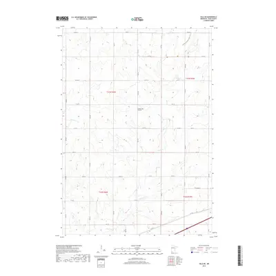
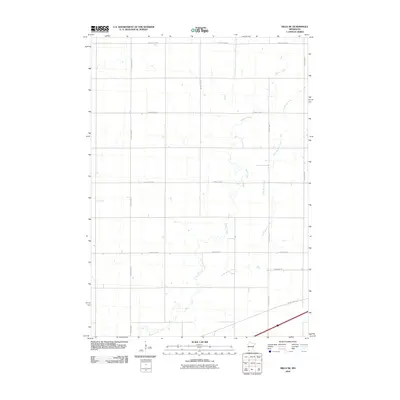 2010 Hills NE2010 Print · USGSCovers Luverne Township, including Mound Township, Springwater Township, and other nearby areas
 - 2010 Map of Luverne, 2010 Print
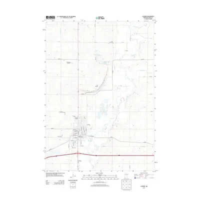
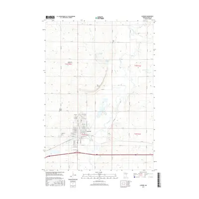
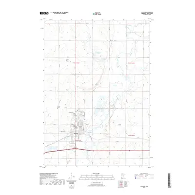
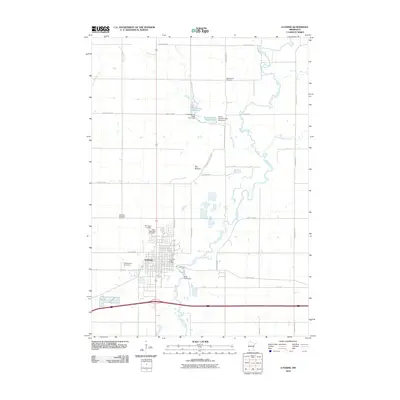 2010 Luverne2010 Print · USGSCovers Luverne Township, including Luverne, Mound Township, and other nearby areas
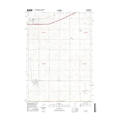
 - 2010 Map of Hills, 2010 Print
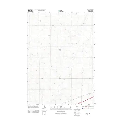
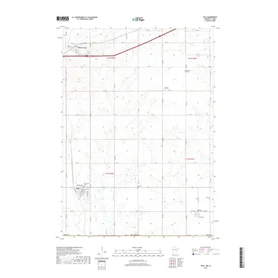
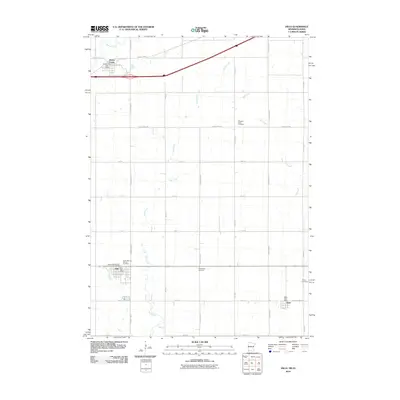 2010 Hills2010 Print · USGSCovers Luverne Township, including Hills, Beaver Creek, and other nearby areas
 - 2013 Map of Ash Creek, 2013 Print
 2013 Ash Creek2013 Print · USGSCovers Luverne Township, including Allison Township, Ash Creek, and other nearby areas
 - 2013 Map of Hills, 2013 Print
 2013 Hills2013 Print · USGSCovers Luverne Township, including Hills, Beaver Creek, and other nearby areas
 - 2013 Map of Hills NE, 2013 Print
 2013 Hills NE2013 Print · USGSCovers Luverne Township, including Mound Township, Springwater Township, and other nearby areas
 - 2013 Map of Luverne, 2013 Print
 2013 Luverne2013 Print · USGSCovers Luverne Township, including Luverne, Mound Township, and other nearby areas
 - 2016 Map of Ash Creek, 2016 Print
 2016 Ash Creek2016 Print · USGSCovers Luverne Township, including Allison Township, Ash Creek, and other nearby areas
 - 2016 Map of Hills NE, 2016 Print
 2016 Hills NE2016 Print · USGSCovers Luverne Township, including Mound Township, Springwater Township, and other nearby areas
 - 2016 Map of Hills, 2016 Print
 2016 Hills2016 Print · USGSCovers Luverne Township, including Hills, Beaver Creek, and other nearby areas
 - 2016 Map of Luverne, 2016 Print
 2016 Luverne2016 Print · USGSCovers Luverne Township, including Luverne, Mound Township, and other nearby areas
 - 2019 Map of Ash Creek, 2019 Print
 2019 Ash Creek2019 Print · USGSCovers Luverne Township, including Allison Township, Ash Creek, and other nearby areas
 - 2019 Map of Hills, 2019 Print
 2019 Hills2019 Print · USGSCovers Luverne Township, including Hills, Beaver Creek, and other nearby areas
 - 2019 Map of Luverne, 2019 Print
 2019 Luverne2019 Print · USGSCovers Luverne Township, including Luverne, Mound Township, and other nearby areas
 - 2019 Map of Hills NE, 2019 Print
 2019 Hills NE2019 Print · USGSCovers Luverne Township, including Mound Township, Springwater Township, and other nearby areas
 - 2022 Map of Hills NE, 2022 Print
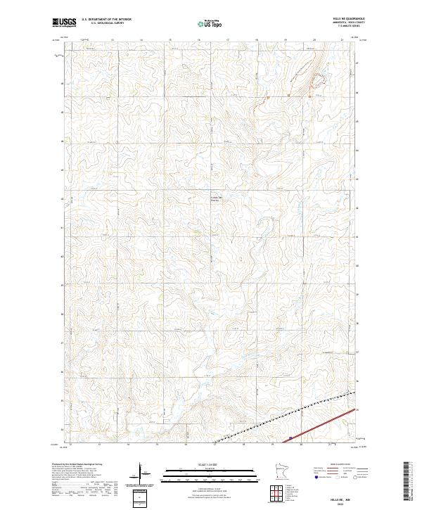 2022 Hills NE2022 Print · USGSThe high plains of Rock County appear in this recent survey, showcasing the distinct agricultural grid and natural drainage of the Coteau des Prairies. Trace the winding paths of the Northern Tall Grass Prairie Trail 1 Trl and the riparian corridors of Beaver Cr.
 - 2022 Map of Luverne, 2022 Print
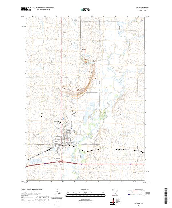 2022 Luverne2022 Print · USGSLuverne and the surrounding Rock County prairie are documented in the early twenty-first century, showing the community's relationship with the Rock River. Genealogists can locate several local burial grounds, including Maplewood Cem and Norwegian Cem, alongside landmarks like the Rock County Court House.
 - 2022 Map of Hills, 2022 Print
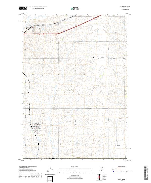 2022 Hills2022 Print · USGSSouthwestern Minnesota farming communities are captured in this recent survey of Rock County near the Iowa border. Genealogists can locate several family burial grounds such as Flowerfield Cem and Trinity Cem near the town of Steen.
 - 2022 Map of Ash Creek, 2022 Print
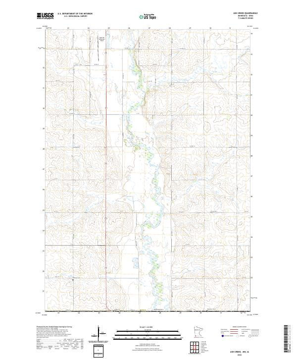 2022 Ash Creek2022 Print · USGSRock County's rural landscape is captured here in the early 2020s as it transitions toward the Iowa border. Family historians and researchers can locate Eastside Cem and Ebenezer Cem among the fields surrounding the Rock River.
End of results
Showing maps 1-20 of 20
Top cities near Luverne Township
- Luverne historical maps
- Rock Rapids historical maps
- Larchwood historical maps
- Valley Springs historical maps
- Hills historical maps
- Ellsworth historical maps
See more
Frequently asked questions
- What are the different types of historical maps available for Luverne Township?
- What is the oldest map of Luverne Township?
- Where can I purchase historical maps of Luverne Township for my home or office?
- Where can I download high-res historical maps of Luverne Township?
- Are there historical topographic maps available for Luverne Township?
- Is there historical aerial imagery available for Luverne Township?
- Where are historical maps of Luverne Township sourced from?