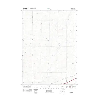
2013 Map of Hills NE
USGS Topo · Published 2013About this map
The Coteau des Prairies, a high glacial plateau, dominates this portion of Rock County, shaping the drainage patterns of the southwestern Minnesota prairie. Numerous small waterways, including Beaver Cr and its tributary Little Beaver Cr, wind through the township, while Springwater Cr emerges in the western section. This 2013 survey illustrates a landscape primarily defined by its section-line road grid, including 171st St and various county routes such as Co Hwy-6 and Co Hwy-20. The map is characteristic of the agricultural Great Plains, where the terrain's gentle elevation changes are meticulously recorded at ten-foot intervals. While no major towns are centered on this specific sheet, the network of rural roads and named creeks provides essential geographic context for the region's agricultural history and land management.
Find a feature on this map
11 named features on this map. Tap any name to fly to it.
Don’t see what you’re looking for? This feature index may not catch every label — zoom into the map to look around manually.
Map Details
Editions of this 2013 Hills NE Map
This is the sole edition of this map. No revisions or reprints were ever made.
Other maps of this area

1955 · Sioux Falls
USGS Topo · 1:250,000

1958 · Sioux Falls
USGS Topo · 1:250,000

1967 · Valley Springs
USGS Topo · 1:24,000

1967 · Edgerton South
USGS Topo · 1:24,000

1967 · Garretson East
USGS Topo · 1:24,000

1967 · Hills
USGS Topo · 1:24,000

1967 · Jasper SE
USGS Topo · 1:24,000

1967 · Hills NE
USGS Topo · 1:24,000

1967 · Jasper
USGS Topo · 1:24,000

1967 · Ash Creek
USGS Topo · 1:24,000
Featured Places
- Mound Township, MN
- Springwater Township, MN
- Luverne Township, MN
- Beaver Creek Township, MN
- Rock County, MN