Old Maps of Reno, Minnesota for Academic Research
Study the evolution of Reno with 13 high-resolution historic maps. Whether you're teaching, researching, or modeling changes in land use, these maps provide essential visual documentation of urban, environmental, and geographic change.
- Analyze long-term change: Track patterns in development, transportation, and natural features.
- Ideal for environmental or urban studies: Support academic projects with primary historical map data.
- Use in the classroom or lab: Educators and researchers rely on these maps to bring historical context to life.
These maps are a powerful tool for teaching, research, and visualizing how Reno has changed over the decades.
Reno, MN maps
(13)- 1954 Map of Two Harbors, 1964 Print
 1954 Two Harbors1964 Print · USGSThe Minnesota North Shore and Superior National Forest are shown here in the mid-fifties, just as the taconite industry was reshaping the coast. Genealogists and historians can trace the rail lines of the Duluth Missabe and Iron Range or locate remote outposts like Sawbill Landing and Section Thirty.2 unique versions available
 - 1957 Map of Two Harbors
 1957 Two Harbors1957 Print · USGSMinnesota's North Shore and the Arrowhead region are shown here in the mid-fifties as the taconite industry and cold war defense shaped the landscape. Researchers can trace the Duluth Missabe and Iron Range railroad, locate the Split Rock Light, and explore the iron-mining era at Taconite.
 - 1957 Map of Brimson, 1958 Print
 1957 Brimson1958 Print · USGSNortheast Minnesota’s iron range and timber country are captured here in the late fifties, showing a landscape defined by rail and water. Genealogists and historians can trace old community sites like Toimi, Brimson, and Fairbanks alongside the Skibo Mill and Old Railroad Grade.3 unique versions available
 - 1958 Map of Two Harbors
 1958 Two Harbors1958 Print · USGSThe North Shore and Arrowhead region of Minnesota are captured in the 1950s as iron ore shipping and wilderness preservation shaped the land. Researchers can trace the Duluth Missabe and Iron Range RR, find maritime landmarks like Split Rock Light, and locate remote settlements from Babbitt to Grand Marais.
 - 1964 Map of Two Harbors
 1964 Two Harbors1964 Print · USGSThe North Shore of Lake Superior is captured here during the mid-1950s, a time of significant industrial mining growth and emerging tourism. Genealogists and historians can trace the rail lines of the Duluth Missabe and Iron Range and locate landmarks like Split Rock Light and the U S Air Force Radar Station.
 - 1976 Map of Brimson NW, 1979 Print
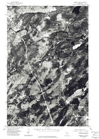 1976 Brimson NW1979 Print · USGSThe Iron Range backcountry of northeastern Minnesota is captured in mid-1976, showing the remote landscape of St. Louis County. Genealogists and researchers can trace the rail corridor near Skibo and the winding course of the St Louis River past Bassett Lake.
 - 1976 Map of Two Harbors, 1994 Print
 1976 Two Harbors1994 Print · USGSThe North Shore of Lake Superior comes alive in this mid-seventies survey of the Minnesota timber and iron country. Trace the Duluth Missabe and Iron Range RR from Two Harbors past Split Rock Lighthouse State Park to the industrial port at Silver Bay.
 - 1981 Map of Skibo, 1982 Print
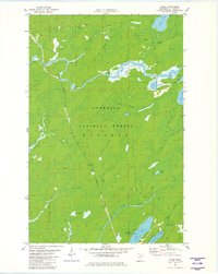 1981 Skibo1982 Print · USGSSkibo and the surrounding timberlands are documented here in the late seventies as the rail-and-river economy of the Iron Range persisted. Genealogists and historians can trace the Duluth Missabe and Iron Range tracks past Skibo Mill, Clappers, and Reno.2 unique versions available
 - 2011 Map of Skibo, 2011 Print
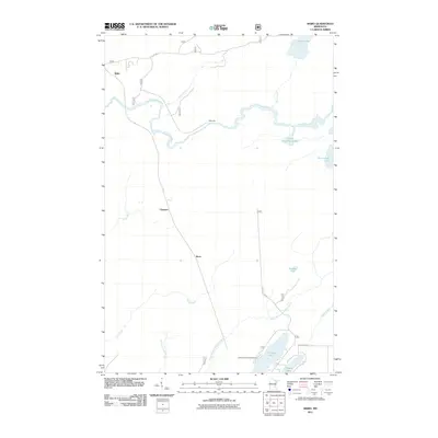 2011 Skibo2011 Print · USGSNorthern Minnesota's timber and river country is documented here in the early twenty-first century as recreational use grows alongside older settlements. Genealogists and hikers can trace the areas around Skibo, Clappers, and the Cadotte Lake Campground.
 - 2013 Map of Skibo, 2013 Print
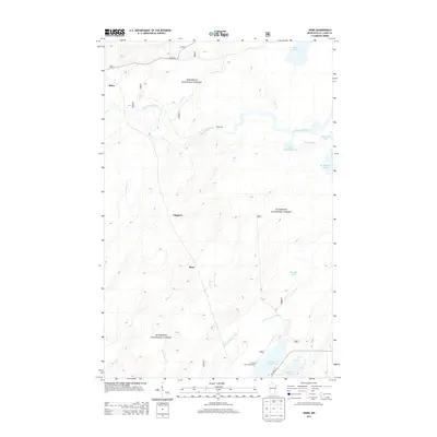 2013 Skibo2013 Print · USGSIn the heart of the Superior National Forest during the early twenty-first century, this area of Saint Louis County reveals a landscape of timber and trout streams. Researchers can locate the small settlements of Skibo and Clappers or trace the drainage of the Saint Louis River and N Br Whiteface River.
 - 2016 Map of Skibo, 2016 Print
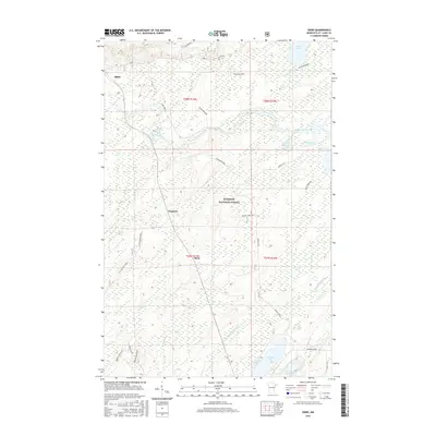 2016 Skibo2016 Print · USGSSaint Louis County's dense forest and lake country is captured here during the mid-2010s as the wilderness remains largely intact. Researchers can trace the water networks of the Saint Louis River and Whiteface River near small settlements like Skibo and Reno.
 - 2019 Map of Skibo, 2019 Print
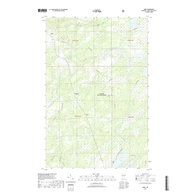 2019 Skibo2019 Print · USGSNortheastern Minnesota's timber and water country comes alive in this 2019 survey of the area around Skibo. You can trace old forest spurs and local landmarks like Clappers, the Cadotte Lake Campground, and the headwaters of the Saint Louis River.
 - 2022 Map of Skibo, 2022 Print
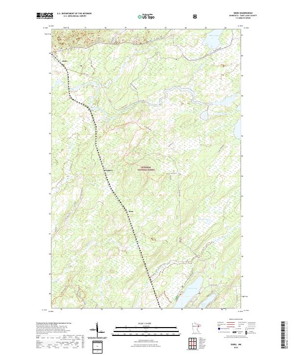 2022 Skibo2022 Print · USGSThis St. Louis County wilderness is mapped at the start of the 2020s, revealing the intricate water systems and timber access roads of the Northwoods. Genealogists and outdoor historians can trace the small hubs of Skibo, Clappers, and Reno, or locate the Cadotte Lake Campground and various spurs like Bundle Lake Spur A.
End of results
Showing maps 1-13 of 13
Top cities near Reno
Frequently asked questions
- What are the different types of historical maps available for Reno?
- What is the oldest map of Reno?
- Where can I purchase historical maps of Reno for my home or office?
- Where can I download high-res historical maps of Reno?
- Are there historical topographic maps available for Reno?
- Is there historical aerial imagery available for Reno?
- Where are historical maps of Reno sourced from?