Old Maps of Bear Head Lake, Minnesota
Explore 31 old maps of Bear Head Lake, spanning from 1949 to today. These high-resolution historic maps reveal how streets, neighborhoods, landmarks, and natural features evolved over time — perfect for genealogy, metal detecting, research, and local history exploration.
What you can do with these maps:
- See how Bear Head Lake changed over time: Compare historical maps to modern-day views to trace roads, homesites, rail lines & more.
- View detailed metadata: Each map includes creators, publishers, year, scale, and archive source.
- Overlay maps with satellite & LiDAR: Visualize the past alongside modern tools to explore terrain & human change.
- Trusted historical sources: Maps sourced from the USGS, Library of Congress, and other archives.
- Access maps your way: View online, download high-res files, or order prints for personal or research use.
Start exploring old maps of Bear Head Lake to uncover forgotten places, hidden landmarks, and the deep history beneath your feet.
Bear Head Lake, MN maps
(31)- 1949 Map of Isaac Lake, 1958 Print
 1949 Isaac Lake1958 Print · USGSSt. Louis County timber and iron lands are documented here during the late 1940s as industry pushed into the northern woods. Researchers can locate the Arvo Cem, trace the Duluth Missabe and Iron Range rail line, and find Armanda Camp.4 unique versions available
 - 1949 Map of Embarrass, 1959 Print
 1949 Embarrass1959 Print · USGSThe Embarrass River valley in the late 1940s shows a landscape of glacial lakes and northern timber. Genealogists can locate School No 70 and the village of Embarrass along the Duluth Missabe and Iron Range railroad.4 unique versions available
 - 1950 Map of Isaac Lake
 1950 Isaac Lake1950 Print · USGSSt. Louis County is captured at mid-century as the timber and iron economies shaped this north woods landscape. You can trace early cemetery locations like Armanda Cem, find the local Town Hall, and follow the Duluth Missabe and Iron Range railroad.2 unique versions available
 - 1950 Map of Embarrass
 1950 Embarrass1950 Print · USGSSt. Louis County in the post-war era reveals a landscape of Iron Range rail lines and northern forests. Genealogists and local historians can trace the early layout of Embarrass, the location of School No 70, and dozens of named water bodies like Heikkilla Lake.
 - 1954 Map of Hibbing, 1966 Print
 1954 Hibbing1966 Print · USGSNorthern Minnesota's Iron Range thrives during the mid-1960s, showing the industrial landscape between the Mesabi Range and the Mississippi River. Genealogists and historians can trace the rail lines of the Great Northern RR through mining hubs like Hibbing and Virginia.3 unique versions available
 - 1956 Map of Soudan, 1958 Print
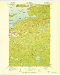 1956 Soudan1958 Print · USGSThe eastern Vermilion Iron Range comes into focus during the mid-fifties, showing the industrial core of the Soudan mining district. Genealogists and industrial historians can trace the Duluth Missabe and Iron Range railroad through Murray or locate the Soudan Mine and La Rue Mines.5 unique versions available
 - 1956 Map of Eagles Nest, 1958 Print
 1956 Eagles Nest1958 Print · USGSSt. Louis County in the mid-1950s is a wilderness of interconnected waters and iron-range rail lines. Genealogists and historians can trace the lakeside settlements of Robinson and McComber or the route of the Duluth Missabe and Iron Range railroad.5 unique versions available
 - 1957 Map of Hibbing
 1957 Hibbing1957 Print · USGSNorthern Minnesota's Iron Range is shown at its industrial peak in the mid-fifties, dominated by the massive iron pits and rail corridors of the Mesabi Range. Researchers can trace the rail networks of the Duluth Missabe and Iron Range and locate mining hubs like Hibbing, Virginia, and Bovey.
 - 1958 Map of Hibbing
 1958 Hibbing1958 Print · USGSThe Mesabi Iron Range reached its mid-century height during this era, defining the landscape between Grand Rapids and Virginia. Genealogists and historians can trace the mining-town networks of Hibbing and Chisholm or locate numerous iron mines and rail spurs.
 - 1964 Map of Hibbing
 1964 Hibbing1964 Print · USGSNorthern Minnesota’s iron-rich corridor is captured here during a peak era of mid-century industrial activity. Researchers can trace the rail-to-mine connections through Mesabi Range towns like Hibbing and Virginia or locate lakefront settlements near Pokegama Lake.
 - 1994 Map of Vermillion Lake
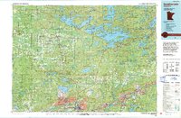 1994 Vermillion Lake1994 Print · USGSThe Mesabi Iron Range meets the North Woods in the 1990s, showcasing the heavy industrial footprint of the Duluth Missabe & Iron Range RR. Trace the sprawling works of the Mines near Virginia or the intricate island shorelines of Vermilion Lake.
 - 2010 Map of Embarrass, 2010 Print
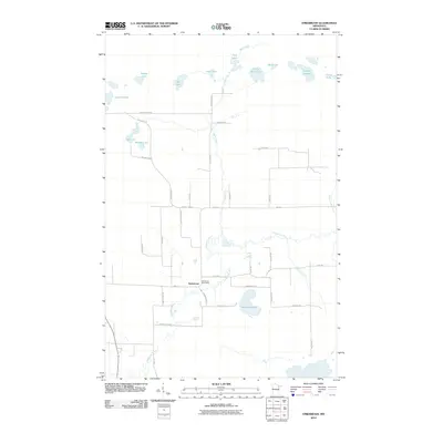 2010 Embarrass2010 Print · USGSEmbarrass and its surrounding lake country are captured here at the start of the 2010s. Genealogists and local historians can trace family-named routes like Hanka Nevala Rd and Waisanen Rd near the Embarrass Post Office and the winding Embarrass River.
 - 2010 Map of Soudan, 2010 Print
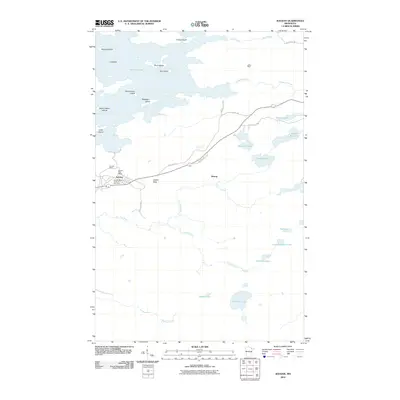 2010 Soudan2010 Print · USGSNortheastern Minnesota's Iron Range at the start of the twenty-first century reveals the enduring landscape of early mining and northern lakes. Researchers can trace the layout of Soudan, identify old diggings like the LaRue Mine, or locate family-named points such as Hendrickson Island.
 - 2011 Map of Eagles Nest, 2011 Print
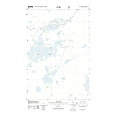 2011 Eagles Nest2011 Print · USGSThe Eagles Nest region of northern Minnesota is captured here in the early 2010s, showcasing a landscape of interconnected lakes and protected wilderness. Researchers can trace shoreline landmarks and small settlements like Robinson and McComber near Bear Head Lake State Park.
 - 2011 Map of Isaac Lake, 2011 Print
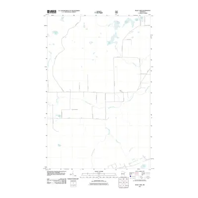 2011 Isaac Lake2011 Print · USGSSaint Louis County at the start of the 2010s reveals a quiet landscape of northern lakes and family-named homestead roads. Genealogists and local historians can trace burial sites at Armanda Cemetery or follow the waters of the Embarrass River and Isaac Lake.
 - 2013 Map of Soudan, 2013 Print
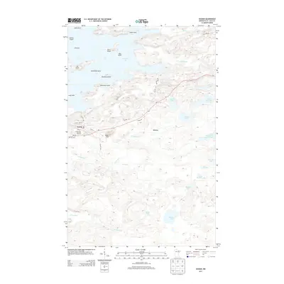 2013 Soudan2013 Print · USGSThe Iron Range meets the shoreline of Vermilion Lake in this 2013 survey of northeastern Minnesota. Local history researchers can trace the roads around Soudan, locate the Soudan Mine Overlook Rest Area, and explore the many islands of the lake including Ely Island and Dog Island.
 - 2013 Map of Embarrass, 2013 Print
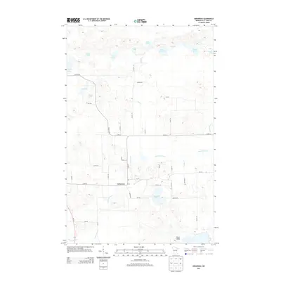 2013 Embarrass2013 Print · USGSThe northern Iron Range comes to life in this early 21st-century survey of the Embarrass community and its surrounding lake country. Genealogists can trace local roots along family-named routes like Pylka Rd and Beckman Rd near the Embarrass River.
 - 2013 Map of Eagles Nest, 2013 Print
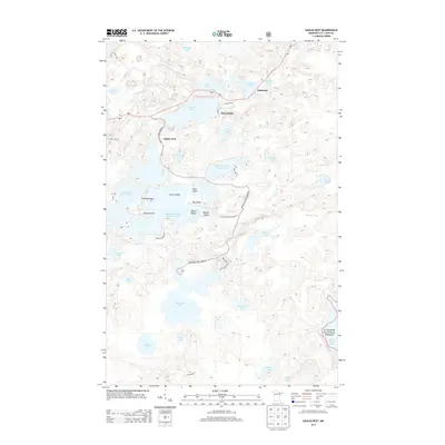 2013 Eagles Nest2013 Print · USGSThe Iron Range lake country comes into focus in this modern survey, showing the interconnected waters of the Eagles Nest area. Researchers can trace the shoreline developments of Bear Head Lake and locate small settlements like McComber and Robinson along the MN-1 highway.
 - 2013 Map of Isaac Lake, 2013 Print
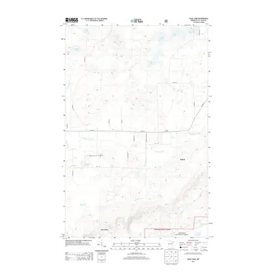 2013 Isaac Lake2013 Print · USGSThe Iron Range settlements of Babbitt and Hoyt Lakes meet the edge of the wilderness in this 2013 survey of Saint Louis County. Researchers can trace the local drainage of the Embarrass River and locate family history sites like Argo Cem and Armanda Cem.
 - 2016 Map of Embarrass, 2016 Print
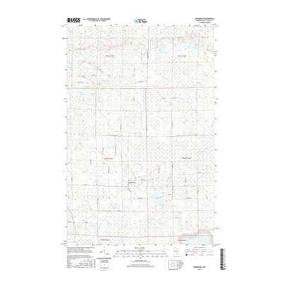 2016 Embarrass2016 Print · USGSThe rural settlement of Embarrass is captured here in the mid-2010s, surrounded by a dense network of glacial lakes and northern wetlands. Researchers can trace family-named roads like Hanka Nevala Rd and Koskela Rd alongside the winding Embarrass River.
 - 2016 Map of Isaac Lake, 2016 Print
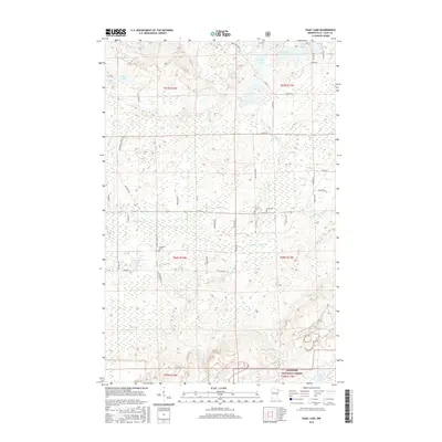 2016 Isaac Lake2016 Print · USGSSaint Louis County's wooded backcountry comes into focus during the mid-2010s, showing the intersection of logging roads and glacial lakes. Genealogists can locate the Argo Cem and Armanda Cem tucked away near the Embarrass River.
 - 2016 Map of Soudan, 2016 Print
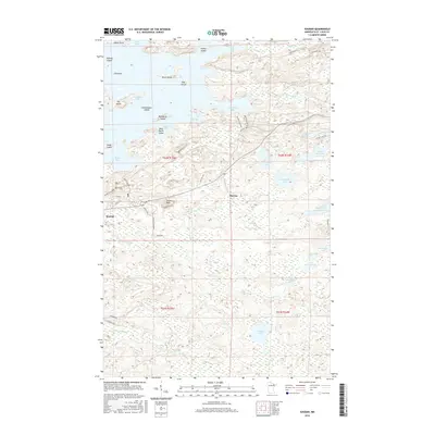 2016 Soudan2016 Print · USGSThe Iron Range meets the water's edge in this 2016 map of the area around Soudan, showcasing the dense islands and bays of Vermilion Lake. Local historians can trace the paths of Larue Mine Rd and Old Hwy 169 past landmarks like Jasper Peak and the small settlement of Murray.
 - 2016 Map of Eagles Nest, 2016 Print
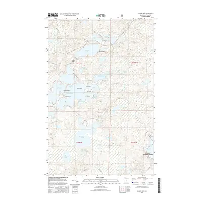 2016 Eagles Nest2016 Print · USGSThe interconnected waters of Saint Louis County are shown here in the mid-2010s, centered on the lakes of the Eagles Nest chain. Researchers can trace the layout of Bear Head Lake State Park and locate small communities like Robinson and McComber.
 - 2019 Map of Soudan, 2019 Print
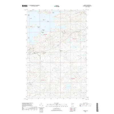 2019 Soudan2019 Print · USGSSoudan and the surrounding lake country appear in this modern survey during a period of steady preservation and recreation. Researchers can trace historic access routes like Larue Mine Rd or explore the islands of Vermilion Lake, such as Ely Island and Timber Island.
 - 2019 Map of Isaac Lake, 2019 Print
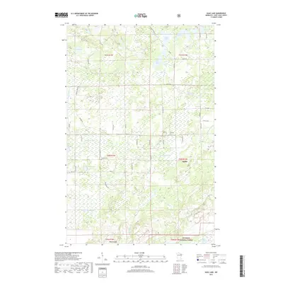 2019 Isaac Lake2019 Print · USGSSaint Louis County's Iron Range country is shown here in the late 2010s, where the northern forests meet the municipal edges of Babbitt and Hoyt Lakes. Researchers can locate historic burial grounds like Argo Cem and trace the winding course of the Embarrass River.
Showing maps 1-25 of 31
Top cities near Bear Head Lake
- Hoyt Lakes historical maps
- Aurora historical maps
- Babbitt historical maps
- Biwabik historical maps
- Embarrass historical maps
- Tower historical maps
See more
Frequently asked questions
- What are the different types of historical maps available for Bear Head Lake?
- What is the oldest map of Bear Head Lake?
- Where can I purchase historical maps of Bear Head Lake for my home or office?
- Where can I download high-res historical maps of Bear Head Lake?
- Are there historical topographic maps available for Bear Head Lake?
- Is there historical aerial imagery available for Bear Head Lake?
- Where are historical maps of Bear Head Lake sourced from?