Old Maps of Aurora, Minnesota
Explore 20 old maps of Aurora, spanning from 1949 to today. These high-resolution historic maps reveal how streets, neighborhoods, landmarks, and natural features evolved over time — perfect for genealogy, metal detecting, research, and local history exploration.
What you can do with these maps:
- See how Aurora changed over time: Compare historical maps to modern-day views to trace roads, homesites, rail lines & more.
- View detailed metadata: Each map includes creators, publishers, year, scale, and archive source.
- Overlay maps with satellite & LiDAR: Visualize the past alongside modern tools to explore terrain & human change.
- Trusted historical sources: Maps sourced from the USGS, Library of Congress, and other archives.
- Access maps your way: View online, download high-res files, or order prints for personal or research use.
Start exploring old maps of Aurora to uncover forgotten places, hidden landmarks, and the deep history beneath your feet.
Aurora, MN maps
(20)- 1949 Map of Aurora, 1956 Print
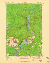
 1949 Aurora1956 Print · USGSThe Iron Range of northern Minnesota comes alive in this post-war survey of the mining landscape around Aurora. Researchers can trace the industrial footprint of the St James Pit, the community of Mesaba, and family landmarks near Colby Lake.
 - 1950 Map of Aurora
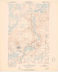
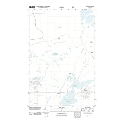
 1950 Aurora1950 Print · USGSThe Mesaba Iron Range was at a peak of industrial activity in the mid-twentieth century when this survey was conducted. Historians can trace the massive excavations of the St James Pit and Miller Pit alongside the rail-dependent settlements of Aurora and Old Mesaba.2 unique versions available
 - 1950 Map of Biwabik, 1959 Print
 1950 Biwabik1959 Print · USGSIn the heart of the Mesabi Range during the mid-century mining boom, this map shows a landscape transformed by massive pits and rail lines. Genealogists and industrial historians can locate old company towns like Pineville and Belgrade or trace the early operations of the Canton Mine and Erie Mine.5 unique versions available
 - 1951 Map of Biwabik
 1951 Biwabik1951 Print · USGSMid-century mining on the Mesabi Range is captured here during a period of intense industrial activity and growth. Local historians can trace the footprints of the Biwabik Mine, the Duluth Missabe and Iron Range rail lines, and the Erie Mine works.2 unique versions available
 - 1954 Map of Hibbing, 1966 Print
 1954 Hibbing1966 Print · USGSNorthern Minnesota's Iron Range thrives during the mid-1960s, showing the industrial landscape between the Mesabi Range and the Mississippi River. Genealogists and historians can trace the rail lines of the Great Northern RR through mining hubs like Hibbing and Virginia.3 unique versions available
 - 1957 Map of Hibbing
 1957 Hibbing1957 Print · USGSNorthern Minnesota's Iron Range is shown at its industrial peak in the mid-fifties, dominated by the massive iron pits and rail corridors of the Mesabi Range. Researchers can trace the rail networks of the Duluth Missabe and Iron Range and locate mining hubs like Hibbing, Virginia, and Bovey.
 - 1958 Map of Hibbing
 1958 Hibbing1958 Print · USGSThe Mesabi Iron Range reached its mid-century height during this era, defining the landscape between Grand Rapids and Virginia. Genealogists and historians can trace the mining-town networks of Hibbing and Chisholm or locate numerous iron mines and rail spurs.
 - 1962 Map of Aurora, 1964 Print
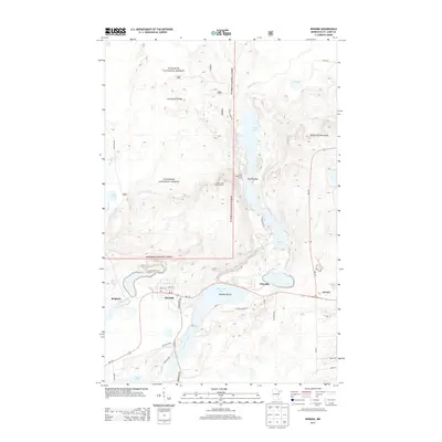
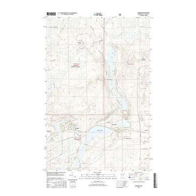
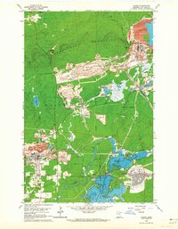 1962 Aurora1964 Print · USGSIron Range industry reaches its mid-century peak in this survey of the northern Mesabi mining district. Researchers can trace the massive Erie Mine No 1 Pit, the rail lines of the Duluth Missabe and Iron Range, and landmarks like Forest Hill Cemetery.4 unique versions available
 - 1964 Map of Hibbing
 1964 Hibbing1964 Print · USGSNorthern Minnesota’s iron-rich corridor is captured here during a peak era of mid-century industrial activity. Researchers can trace the rail-to-mine connections through Mesabi Range towns like Hibbing and Virginia or locate lakefront settlements near Pokegama Lake.
 - 1994 Map of Vermillion Lake
 1994 Vermillion Lake1994 Print · USGSThe Mesabi Iron Range meets the North Woods in the 1990s, showcasing the heavy industrial footprint of the Duluth Missabe & Iron Range RR. Trace the sprawling works of the Mines near Virginia or the intricate island shorelines of Vermilion Lake.
 - 2011 Map of Biwabik, 2011 Print
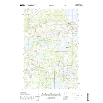
 2011 Biwabik2011 Print · USGSCovers Aurora, including Biwabik, White Township, and other nearby areas
 - 2011 Map of Aurora, 2011 Print
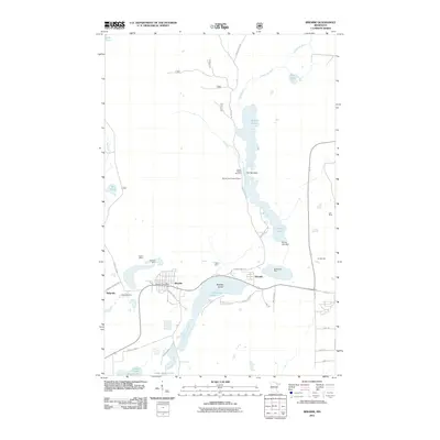
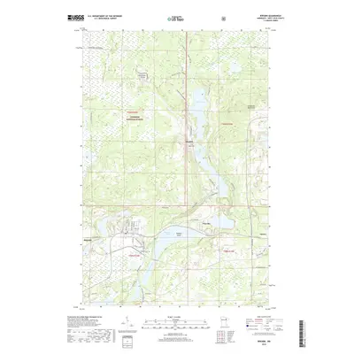
 2011 Aurora2011 Print · USGSCovers Aurora, including Hoyt Lakes, Colby, and other nearby areas
 - 2013 Map of Biwabik, 2013 Print
 2013 Biwabik2013 Print · USGSCovers Aurora, including Biwabik, White Township, and other nearby areas
 - 2013 Map of Aurora, 2013 Print
 2013 Aurora2013 Print · USGSCovers Aurora, including Hoyt Lakes, Colby, and other nearby areas
 - 2016 Map of Aurora, 2016 Print
 2016 Aurora2016 Print · USGSCovers Aurora, including Hoyt Lakes, Colby, and other nearby areas
 - 2016 Map of Biwabik, 2016 Print
 2016 Biwabik2016 Print · USGSCovers Aurora, including Biwabik, White Township, and other nearby areas
 - 2019 Map of Biwabik, 2019 Print
 2019 Biwabik2019 Print · USGSCovers Aurora, including Biwabik, White Township, and other nearby areas
 - 2019 Map of Aurora, 2019 Print
 2019 Aurora2019 Print · USGSCovers Aurora, including Hoyt Lakes, Colby, and other nearby areas
 - 2022 Map of Aurora, 2022 Print
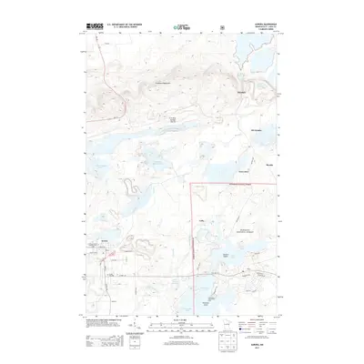
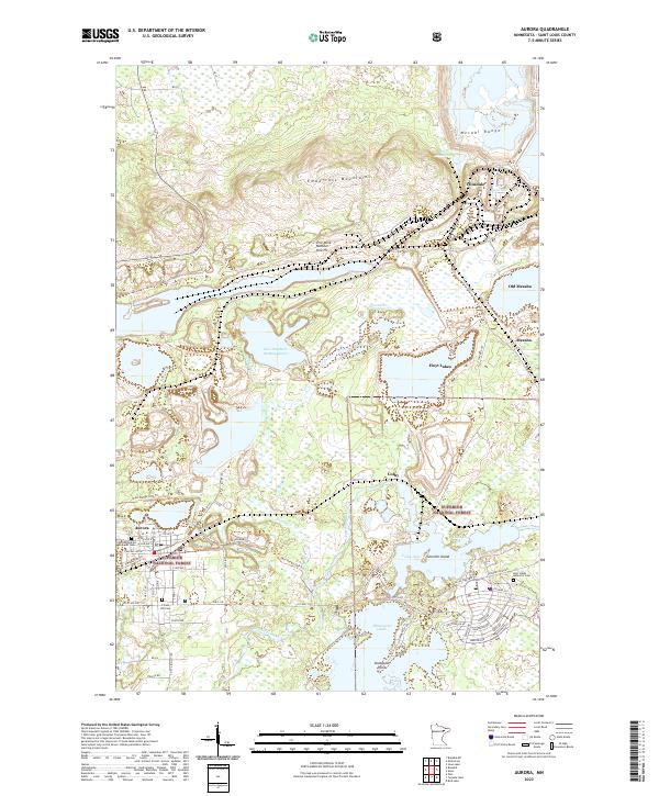 2022 Aurora2022 Print · USGSIron Range mining and settlement come into focus in this modern era, documenting the industrial landscape near the Mesabi Range. Genealogists can trace family sites at the Czechoslovakian National Cem or explore the geography of Old Mesaba and the Erie Mine Number One Pit.
 - 2022 Map of Biwabik, 2022 Print
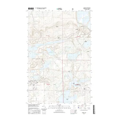
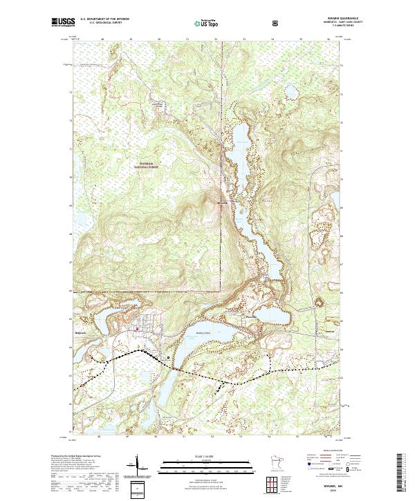 2022 Biwabik2022 Print · USGSBiwabik and the Mesabi Range are captured here in the early 2020s, showing the intersection of Iron Range industry and northern wilderness. Researchers can locate Lakeside Cem, trace the historic Vermilion Trl, and explore the shoreline of Embarrass Lake.
End of results
Showing maps 1-20 of 20
Top cities near Aurora
- Virginia historical maps
- Hoyt Lakes historical maps
- Gilbert historical maps
- Babbitt historical maps
- Biwabik historical maps
- Embarrass historical maps
See more
Frequently asked questions
- What are the different types of historical maps available for Aurora?
- What is the oldest map of Aurora?
- Where can I purchase historical maps of Aurora for my home or office?
- Where can I download high-res historical maps of Aurora?
- Are there historical topographic maps available for Aurora?
- Is there historical aerial imagery available for Aurora?
- Where are historical maps of Aurora sourced from?