Old Maps of Aurora, Minnesota for Hiking & Exploration
Hike through history with 20 historic maps of Aurora. Explore old trails, ghost towns, and forgotten backroads — perfect for outdoor adventurers and local explorers.
- Rediscover forgotten places: Map out old mining camps, roads, and footpaths that no longer exist on modern maps.
- Layer with modern tools: Combine with LiDAR or satellite views to plan hikes through historical terrain.
- Made for exploration: Popular among hikers, overlanders, and local history lovers.
Use these maps to find adventure and explore the hidden past of Aurora.
Aurora, MN maps
(20)- 1949 Map of Aurora, 1956 Print
 1949 Aurora1956 Print · USGSThe Iron Range of northern Minnesota comes alive in this post-war survey of the mining landscape around Aurora. Researchers can trace the industrial footprint of the St James Pit, the community of Mesaba, and family landmarks near Colby Lake.
 - 1950 Map of Aurora
 1950 Aurora1950 Print · USGSThe Mesaba Iron Range was at a peak of industrial activity in the mid-twentieth century when this survey was conducted. Historians can trace the massive excavations of the St James Pit and Miller Pit alongside the rail-dependent settlements of Aurora and Old Mesaba.2 unique versions available
 - 1950 Map of Biwabik, 1959 Print
 1950 Biwabik1959 Print · USGSIn the heart of the Mesabi Range during the mid-century mining boom, this map shows a landscape transformed by massive pits and rail lines. Genealogists and industrial historians can locate old company towns like Pineville and Belgrade or trace the early operations of the Canton Mine and Erie Mine.5 unique versions available
 - 1951 Map of Biwabik
 1951 Biwabik1951 Print · USGSMid-century mining on the Mesabi Range is captured here during a period of intense industrial activity and growth. Local historians can trace the footprints of the Biwabik Mine, the Duluth Missabe and Iron Range rail lines, and the Erie Mine works.2 unique versions available
 - 1954 Map of Hibbing, 1966 Print
 1954 Hibbing1966 Print · USGSNorthern Minnesota's Iron Range thrives during the mid-1960s, showing the industrial landscape between the Mesabi Range and the Mississippi River. Genealogists and historians can trace the rail lines of the Great Northern RR through mining hubs like Hibbing and Virginia.3 unique versions available
 - 1957 Map of Hibbing
 1957 Hibbing1957 Print · USGSNorthern Minnesota's Iron Range is shown at its industrial peak in the mid-fifties, dominated by the massive iron pits and rail corridors of the Mesabi Range. Researchers can trace the rail networks of the Duluth Missabe and Iron Range and locate mining hubs like Hibbing, Virginia, and Bovey.
 - 1958 Map of Hibbing
 1958 Hibbing1958 Print · USGSThe Mesabi Iron Range reached its mid-century height during this era, defining the landscape between Grand Rapids and Virginia. Genealogists and historians can trace the mining-town networks of Hibbing and Chisholm or locate numerous iron mines and rail spurs.
 - 1962 Map of Aurora, 1964 Print
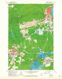 1962 Aurora1964 Print · USGSIron Range industry reaches its mid-century peak in this survey of the northern Mesabi mining district. Researchers can trace the massive Erie Mine No 1 Pit, the rail lines of the Duluth Missabe and Iron Range, and landmarks like Forest Hill Cemetery.4 unique versions available
 - 1964 Map of Hibbing
 1964 Hibbing1964 Print · USGSNorthern Minnesota’s iron-rich corridor is captured here during a peak era of mid-century industrial activity. Researchers can trace the rail-to-mine connections through Mesabi Range towns like Hibbing and Virginia or locate lakefront settlements near Pokegama Lake.
 - 1994 Map of Vermillion Lake
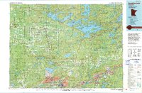 1994 Vermillion Lake1994 Print · USGSThe Mesabi Iron Range meets the North Woods in the 1990s, showcasing the heavy industrial footprint of the Duluth Missabe & Iron Range RR. Trace the sprawling works of the Mines near Virginia or the intricate island shorelines of Vermilion Lake.
 - 2011 Map of Biwabik, 2011 Print
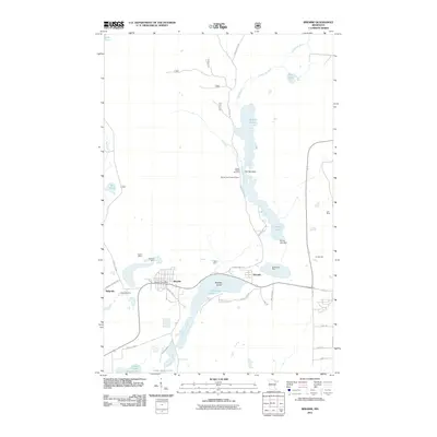 2011 Biwabik2011 Print · USGSBiwabik and the surrounding Mesabi Range are seen here during a period of continued industrial activity and recreational development. Researchers can trace the massive footprints of the Erie Mine and Biwabik Mine or locate early landmarks like the Biwabik Post Office and Wynne Lake Lookout Tower.
 - 2011 Map of Aurora, 2011 Print
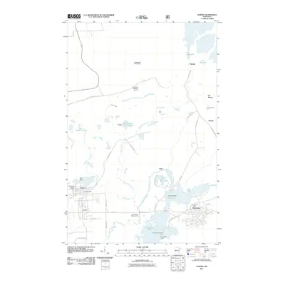 2011 Aurora2011 Print · USGSThe Mesabi Range mining district is captured here in the early twenty-first century, showing the industrial landscape surrounding Aurora and Hoyt Lakes. Genealogists and historians can locate the Czechoslovakian National Cemetery and trace the proximity of the Saint James Mine to the local town site.
 - 2013 Map of Biwabik, 2013 Print
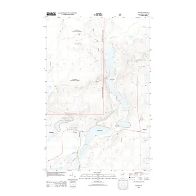 2013 Biwabik2013 Print · USGSThe Mesabi Iron Range country is shown here in the early twenty-first century, centered on the lakes and forests north of the Iron Trail. Genealogists and local historians can trace the street grids of Biwabik and Belgrade or locate the Wynne Lake Lookout Tower.
 - 2013 Map of Aurora, 2013 Print
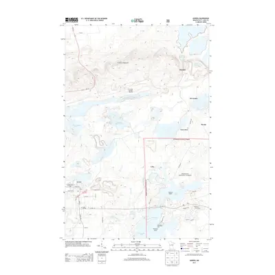 2013 Aurora2013 Print · USGSIron Range mining history and forest boundaries meet in the Mesabi Range during the early 2010s. Genealogists and local historians can locate the Czechoslovakian National Cem in Aurora or trace the industrial footprint of the Erie Mine Number One Pit.
 - 2016 Map of Aurora, 2016 Print
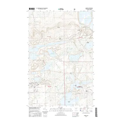 2016 Aurora2016 Print · USGSThe Mesabi Range comes into focus in the mid-2010s, showing the intersection of industrial mining and Iron Range communities. Trace family roots at the Czechoslovakian National Cem or explore the massive Erie Mine Number One Pit and Whitewater Lake reservoir.
 - 2016 Map of Biwabik, 2016 Print
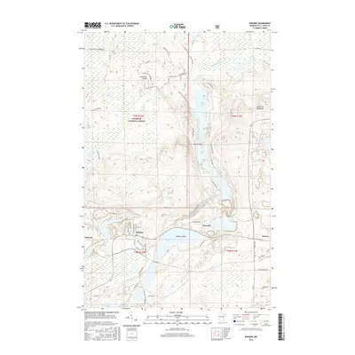 2016 Biwabik2016 Print · USGSThe Mesabi Range settlements of Biwabik and Aurora are shown here in the mid-2010s, situated between the Embarrass Mountains and a chain of glacial lakes. Trace the industrial footprint of the Duluth Missabe and Iron Range RR alongside landmarks like Bradley Island and the Laurentian Divide.
 - 2019 Map of Biwabik, 2019 Print
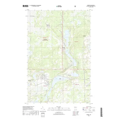 2019 Biwabik2019 Print · USGSThe Mesabi Iron Range country comes into focus in the late 2010s, showing the intersection of heavy industry and wilderness near the Laurentian Divide. Genealogists and local historians can locate the Lakeside Cem, a former Depot Location, and the small community of Belgrade.
 - 2019 Map of Aurora, 2019 Print
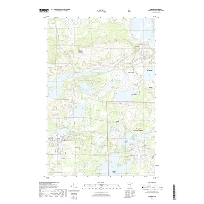 2019 Aurora2019 Print · USGSThe Mesabi Iron Range comes to life in this modern survey of the Aurora and Hoyt Lakes area. Researchers can trace the legacy of mining at the Erie Mine Number One Pit or locate family roots at the Czechoslovakian National Cem.
 - 2022 Map of Aurora, 2022 Print
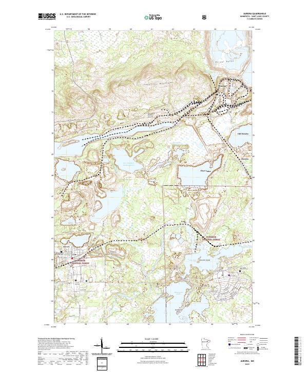 2022 Aurora2022 Print · USGSIron Range mining and settlement come into focus in this modern era, documenting the industrial landscape near the Mesabi Range. Genealogists can trace family sites at the Czechoslovakian National Cem or explore the geography of Old Mesaba and the Erie Mine Number One Pit.
 - 2022 Map of Biwabik, 2022 Print
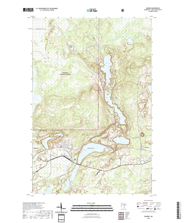 2022 Biwabik2022 Print · USGSBiwabik and the Mesabi Range are captured here in the early 2020s, showing the intersection of Iron Range industry and northern wilderness. Researchers can locate Lakeside Cem, trace the historic Vermilion Trl, and explore the shoreline of Embarrass Lake.
End of results
Showing maps 1-20 of 20
Top cities near Aurora
- Virginia historical maps
- Hoyt Lakes historical maps
- Gilbert historical maps
- Babbitt historical maps
- Biwabik historical maps
- Embarrass historical maps
See more
Frequently asked questions
- What are the different types of historical maps available for Aurora?
- What is the oldest map of Aurora?
- Where can I purchase historical maps of Aurora for my home or office?
- Where can I download high-res historical maps of Aurora?
- Are there historical topographic maps available for Aurora?
- Is there historical aerial imagery available for Aurora?
- Where are historical maps of Aurora sourced from?