
Loading...
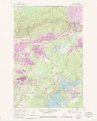
Loading map...1949 Map of Aurora
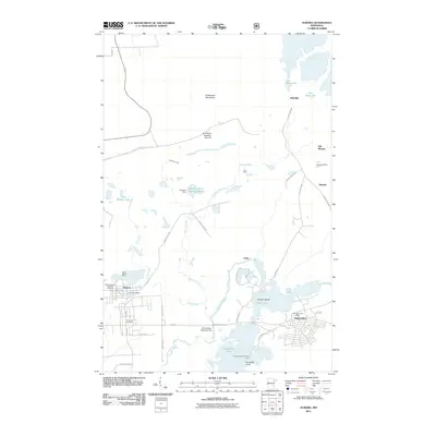
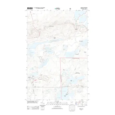
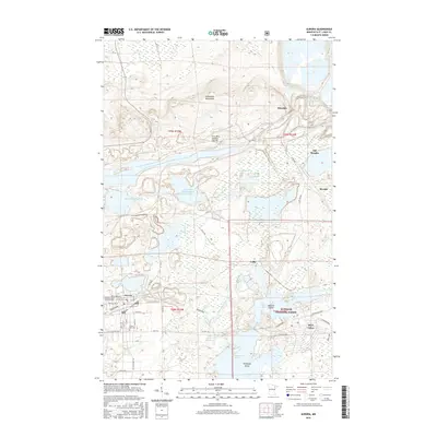
USGS Topo · Published 1956About this map
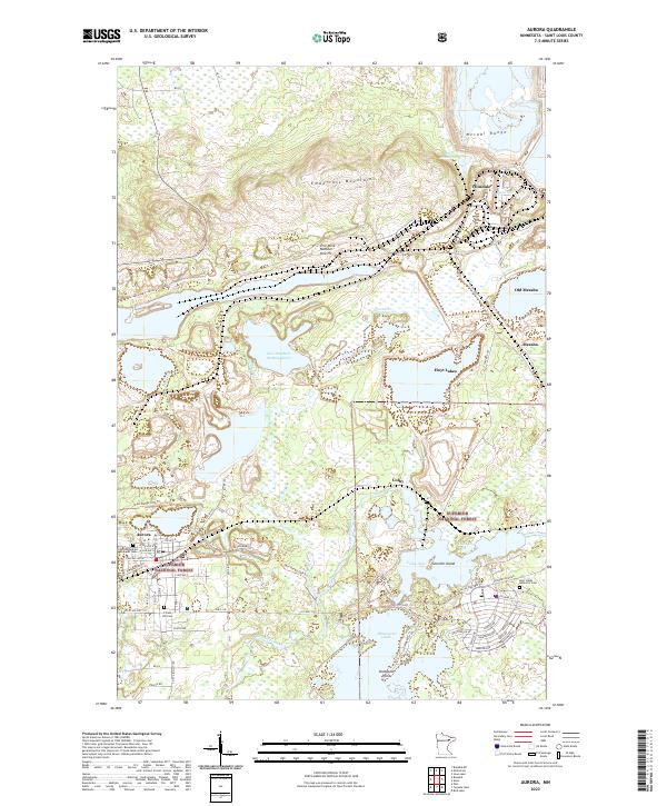
Aurora serves as the industrial and civic anchor of this Iron Range study, reflecting the intense mining activity that defined St. Louis County just after the war. The landscape is dominated by heavy excavation sites like the St James Pit and Miller Pit, which neighbor the town's residential core and a local Cemetery. Beyond the pits, a massive Ore Processing Plant and several Inactive Mines indicate a region in constant industrial flux.
Find a feature on this map
29 named features on this map. Tap any name to fly to it.
Don’t see what you’re looking for? This feature index may not catch every label — zoom into the map to look around manually.
Map Details
Date Portrayed1949
Date Published1956
PublisherU.S. Geological Survey
Map TypeTopographic
Scale1:24,000
Physical Dimensions21.24 x 27.31 inches
Editions of this 1949 Aurora Map
This is the sole edition of this map. No revisions or reprints were ever made.
Historical Maps of Hoyt Lakes Through Time
8 maps found

Featured Locations
Source Details
SourceU.S. Geological Survey
CopyrightPublic Domain