
1950 Map of Biwabik
USGS Topo · Published 1959About this map
Industrial activity on the Mesabi Range is the defining characteristic of this 1950s landscape, where open-pit excavations like the Biwabik Mine and Embarrass Mine dwarf the surrounding settlements. The town of Biwabik sits at the heart of this complex, surrounded by extensive Mine Dumps and served by the Duluth Missabe and Iron Range railroad. To the east, the Village Boundary of Aurora marks the edge of further development, including the Hudson Pit and Erie Mine.
Find a feature on this map
34 named features on this map. Tap any name to fly to it.
Don’t see what you’re looking for? This feature index may not catch every label — zoom into the map to look around manually.
Map Details
Editions of this 1950 Biwabik Map
5 editions found
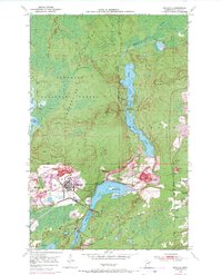
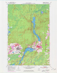
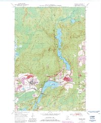
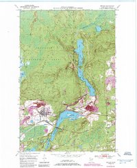
Other maps of this area

1949 · Aurora
USGS Topo · 1:24,000

1949 · Embarrass
USGS Topo · 1:24,000

1950 · Embarrass
USGS Topo · 1:24,000

1950 · Aurora
USGS Topo · 1:24,000

1950 · Mc Kinley
USGS Topo · 1:24,000

1950 · Biwabik NW
USGS Topo · 1:24,000

1950 · Biwabik NE
USGS Topo · 1:24,000

1951 · Biwabik
USGS Topo · 1:24,000

1951 · Mc Kinley
USGS Topo · 1:24,000

1951 · Biwabik NE
USGS Topo · 1:24,000