
1949 Map of Embarrass
USGS Topo · Published 1959About this map
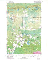
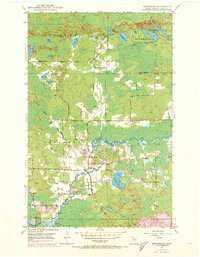
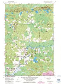
The Embarrass River meanders through this portion of St. Louis County, defining the valley's drainage and settlement patterns at the end of the 1940s. The village of Embarrass serves as a local hub, situated near the Duluth Missabe and Iron Range railroad line which facilitated the regional transport of timber and ore. Education in the rural hinterlands is represented by School No 70, while infrastructure is noted through a Gaging Sta and Pumping Sta along the riverbanks.
Find a feature on this map
25 named features on this map. Tap any name to fly to it.
Don’t see what you’re looking for? This feature index may not catch every label — zoom into the map to look around manually.
Map Details
Editions of this 1949 Embarrass Map
4 editions found
Other maps of this area

1949 · Aurora
USGS Topo · 1:24,000

1949 · Isaac Lake
USGS Topo · 1:24,000

1949 · Allen
USGS Topo · 1:24,000

1950 · Isaac Lake
USGS Topo · 1:24,000

1950 · Embarrass
USGS Topo · 1:24,000

1950 · Allen
USGS Topo · 1:24,000

1950 · Aurora
USGS Topo · 1:24,000

1950 · Biwabik
USGS Topo · 1:24,000

1950 · Biwabik NE
USGS Topo · 1:24,000

1951 · Biwabik
USGS Topo · 1:24,000