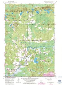
1949 Map of Embarrass
USGS Topo · Published 1985About this map
The Embarrass River meanders through the heart of this landscape, reflecting a region defined by its complex hydrology and industrial ties in the late 1940s. The settlement of Embarrass serves as a focal point, situated near the tracks of the Duluth Missabe and Iron Range railroad. This rail line was vital for the movement of materials through northern St. Louis County, connecting local operations to the broader iron range economy.
Find a feature on this map
30 named features on this map. Tap any name to fly to it.
Don’t see what you’re looking for? This feature index may not catch every label — zoom into the map to look around manually.
Map Details
Editions of this 1949 Embarrass Map
4 editions found
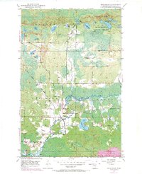
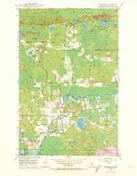
Other maps of this area

1949 · Aurora
USGS Topo · 1:24,000

1949 · Isaac Lake
USGS Topo · 1:24,000

1949 · Allen
USGS Topo · 1:24,000

1949 · Embarrass
USGS Topo · 1:24,000

1950 · Isaac Lake
USGS Topo · 1:24,000

1950 · Embarrass
USGS Topo · 1:24,000

1950 · Allen
USGS Topo · 1:24,000

1950 · Aurora
USGS Topo · 1:24,000

1950 · Biwabik
USGS Topo · 1:24,000

1950 · Biwabik NE
USGS Topo · 1:24,000