
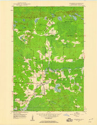
1949 Map of Allen
USGS Topo · Published 1958About this map
The Mesaba Range and the industrial infrastructure of Minnesota's Iron Range define this 1940s landscape. The Duluth Missabe and Iron Range railroad winds through the terrain, connecting small settlements like Allen and Wyman with the resource-rich hills. This era reflects the peak of the iron mining economy, evidenced by features such as Spring Mine Lake and several specialized outposts including Niemi Camp and MacDonald Camp. The Partridge River meanders across the southern half of the quadrangle, joined by Colvin Creek and Cranberry Creek near Cranberry Lake. Large portions of the map are designated within the Superior National Forest, where the topography shifts from the elevation of Moose Mountain to the low-lying wetlands surrounding Mud Lake.
Find a feature on this map
22 named features on this map. Tap any name to fly to it.
Don’t see what you’re looking for? This feature index may not catch every label — zoom into the map to look around manually.
Map Details
Editions of this 1949 Allen Map
This is the sole edition of this map. No revisions or reprints were ever made.
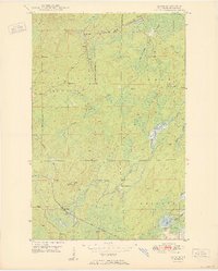
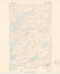
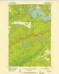
Other maps of this area

1949 · Aurora
USGS Topo · 1:24,000

1949 · Isaac Lake
USGS Topo · 1:24,000
1949 · Embarrass
USGS Topo · 1:24,000

1950 · Isaac Lake
USGS Topo · 1:24,000

1950 · Embarrass
USGS Topo · 1:24,000
1950 · Allen
USGS Topo · 1:24,000

1950 · Aurora
USGS Topo · 1:24,000
1951 · Babbitt SW
USGS Topo · 1:24,000
1951 · Babbitt
USGS Topo · 1:24,000

1954 · Two Harbors
USGS Topo · 1:250,000