Old Maps of Birch Lake (Unorganized Territory), Minnesota for Academic Research
Study the evolution of Birch Lake (Unorganized Territory) with 50 high-resolution historic maps. Whether you're teaching, researching, or modeling changes in land use, these maps provide essential visual documentation of urban, environmental, and geographic change.
- Analyze long-term change: Track patterns in development, transportation, and natural features.
- Ideal for environmental or urban studies: Support academic projects with primary historical map data.
- Use in the classroom or lab: Educators and researchers rely on these maps to bring historical context to life.
These maps are a powerful tool for teaching, research, and visualizing how Birch Lake (Unorganized Territory) has changed over the decades.
Birch Lake (Unorganized Territory), MN maps
(50)- 1933 Map of Ely, 1961 Print
 1933 Ely1961 Print · USGSThe iron-rich Vermilion Range comes alive in the early 1930s, showing the intersection of heavy industry and the Northwoods wilderness. Genealogists and historians can trace the foundations of Ely and Winton, including the Pioneer Mines and the Halfway CCC Camp.
 - 1939 Map of Ely
 1939 Ely1939 Print · USGSEly and the surrounding Iron Range were dominated by heavy industry and woodland conservation in the years before the war. Genealogists and historians can locate specific sites like Pioneer Mines, the Halfway CCC Camp, and the White Iron Sch.3 unique versions available
 - 1949 Map of Isaac Lake, 1958 Print
 1949 Isaac Lake1958 Print · USGSSt. Louis County timber and iron lands are documented here during the late 1940s as industry pushed into the northern woods. Researchers can locate the Arvo Cem, trace the Duluth Missabe and Iron Range rail line, and find Armanda Camp.4 unique versions available
 - 1950 Map of Isaac Lake
 1950 Isaac Lake1950 Print · USGSSt. Louis County is captured at mid-century as the timber and iron economies shaped this north woods landscape. You can trace early cemetery locations like Armanda Cem, find the local Town Hall, and follow the Duluth Missabe and Iron Range railroad.2 unique versions available
 - 1951 Map of Babbitt, 1953 Print
 1951 Babbitt1953 Print · USGSThe Iron Range enters a period of massive industrial growth in the early 1950s as taconite mining transforms the landscape. Trace the origins of Babbitt while it was a Town Under Construction near the Reserve Mining Company and Argo Lake.2 unique versions available
 - 1952 Map of Babbitt NE, 1954 Print
 1952 Babbitt NE1954 Print · USGSThe northern Minnesota wilderness of the early fifties is defined by the expansive waters of Birch Lake and the surrounding national forests. Trace the remnants of former outposts like Tomahawk Camp and an Old Landing Field near the Dunka River.6 unique versions available
 - 1954 Map of Two Harbors, 1964 Print
 1954 Two Harbors1964 Print · USGSThe Minnesota North Shore and Superior National Forest are shown here in the mid-fifties, just as the taconite industry was reshaping the coast. Genealogists and historians can trace the rail lines of the Duluth Missabe and Iron Range or locate remote outposts like Sawbill Landing and Section Thirty.2 unique versions available
 - 1954 Map of Hibbing, 1966 Print
 1954 Hibbing1966 Print · USGSNorthern Minnesota's Iron Range thrives during the mid-1960s, showing the industrial landscape between the Mesabi Range and the Mississippi River. Genealogists and historians can trace the rail lines of the Great Northern RR through mining hubs like Hibbing and Virginia.3 unique versions available
 - 1956 Map of Eagles Nest, 1958 Print
 1956 Eagles Nest1958 Print · USGSSt. Louis County in the mid-1950s is a wilderness of interconnected waters and iron-range rail lines. Genealogists and historians can trace the lakeside settlements of Robinson and McComber or the route of the Duluth Missabe and Iron Range railroad.5 unique versions available
 - 1957 Map of Two Harbors
 1957 Two Harbors1957 Print · USGSMinnesota's North Shore and the Arrowhead region are shown here in the mid-fifties as the taconite industry and cold war defense shaped the landscape. Researchers can trace the Duluth Missabe and Iron Range railroad, locate the Split Rock Light, and explore the iron-mining era at Taconite.
 - 1957 Map of Hibbing
 1957 Hibbing1957 Print · USGSNorthern Minnesota's Iron Range is shown at its industrial peak in the mid-fifties, dominated by the massive iron pits and rail corridors of the Mesabi Range. Researchers can trace the rail networks of the Duluth Missabe and Iron Range and locate mining hubs like Hibbing, Virginia, and Bovey.
 - 1958 Map of Hibbing
 1958 Hibbing1958 Print · USGSThe Mesabi Iron Range reached its mid-century height during this era, defining the landscape between Grand Rapids and Virginia. Genealogists and historians can trace the mining-town networks of Hibbing and Chisholm or locate numerous iron mines and rail spurs.
 - 1958 Map of Two Harbors
 1958 Two Harbors1958 Print · USGSThe North Shore and Arrowhead region of Minnesota are captured in the 1950s as iron ore shipping and wilderness preservation shaped the land. Researchers can trace the Duluth Missabe and Iron Range RR, find maritime landmarks like Split Rock Light, and locate remote settlements from Babbitt to Grand Marais.
 - 1962 Map of Babbitt, 1963 Print
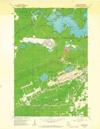 1962 Babbitt1963 Print · USGSBabbitt emerged as a hub for taconite mining in the early sixties, surrounded by the deep woods of the Iron Range. Genealogists and historians can trace the town's grid near High Sch or explore the massive Open Pit Mines and the Reserve Mining Company Railroad.3 unique versions available
 - 1964 Map of Hibbing
 1964 Hibbing1964 Print · USGSNorthern Minnesota’s iron-rich corridor is captured here during a peak era of mid-century industrial activity. Researchers can trace the rail-to-mine connections through Mesabi Range towns like Hibbing and Virginia or locate lakefront settlements near Pokegama Lake.
 - 1964 Map of Two Harbors
 1964 Two Harbors1964 Print · USGSThe North Shore of Lake Superior is captured here during the mid-1950s, a time of significant industrial mining growth and emerging tourism. Genealogists and historians can trace the rail lines of the Duluth Missabe and Iron Range and locate landmarks like Split Rock Light and the U S Air Force Radar Station.
 - 1965 Map of Bear Island, 1967 Print
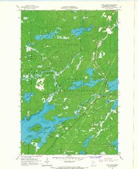 1965 Bear Island1967 Print · USGSSt. Louis County was a land of intricate waterways and deep timber in the mid-1960s. Researchers can trace depth soundings and shorelines around Bear Island Lake, locate the settlement of Rothman, and find old Sandpits and public Boat Ramps.3 unique versions available
 - 1965 Map of Kangas Bay, 1967 Print
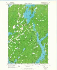 1965 Kangas Bay1967 Print · USGSThe North Woods during the mid-sixties are defined by the expansive waters of the Superior National Forest and the engineered Birch Lake Dam. Researchers can trace the reservoir shoreline and locate local landmarks like the Birch Lake Cem and Beargrease Island.3 unique versions available
 - 1994 Map of Ely
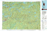 1994 Ely1994 Print · USGSEly and the surrounding Iron Range country are shown here in the mid-1990s, where mining operations meet the edge of the great northern wilderness. Researchers can trace the development of Babbitt, locate the Mine sites, or explore the vast lake networks of the Boundary Waters Canoe Area Wilderness.
 - 1994 Map of Vermillion Lake
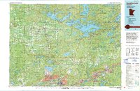 1994 Vermillion Lake1994 Print · USGSThe Mesabi Iron Range meets the North Woods in the 1990s, showcasing the heavy industrial footprint of the Duluth Missabe & Iron Range RR. Trace the sprawling works of the Mines near Virginia or the intricate island shorelines of Vermilion Lake.
 - 2011 Map of Eagles Nest, 2011 Print
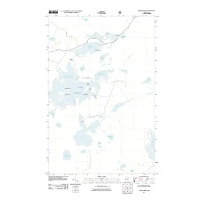 2011 Eagles Nest2011 Print · USGSThe Eagles Nest region of northern Minnesota is captured here in the early 2010s, showcasing a landscape of interconnected lakes and protected wilderness. Researchers can trace shoreline landmarks and small settlements like Robinson and McComber near Bear Head Lake State Park.
 - 2011 Map of Isaac Lake, 2011 Print
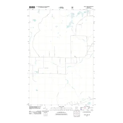 2011 Isaac Lake2011 Print · USGSSaint Louis County at the start of the 2010s reveals a quiet landscape of northern lakes and family-named homestead roads. Genealogists and local historians can trace burial sites at Armanda Cemetery or follow the waters of the Embarrass River and Isaac Lake.
 - 2011 Map of Babbitt NE, 2011 Print
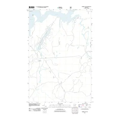 2011 Babbitt NE2011 Print · USGSThe Superior National Forest interior near Babbitt is captured here in the early twenty-first century as a landscape of timber camps and winding waterways. Researchers can trace forest access routes like Mattila Rd to landmarks such as Tomahawk Camp and the banks of Twenty Proof Creek.
 - 2011 Map of Bear Island, 2011 Print
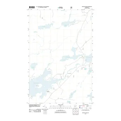 2011 Bear Island2011 Print · USGSSaint Louis County's lake country is detailed here at the start of the 2010s, centering on the waters around Bear Island Lake. Researchers can trace the settlement of Rothman and locate specific features like the Bear Island Dam or the shores of Muckwa Lake.
 - 2011 Map of Kangas Bay, 2011 Print
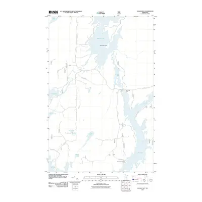 2011 Kangas Bay2011 Print · USGSSaint Louis County's lake-and-river network is captured here in the early 2000s, showcasing a landscape of interconnected waterways and remote airstrips. Researchers can locate family sites near Birch Lake Cemetery or trace the geography of Beargrease Island and Birch Lake Dam.
Showing maps 1-25 of 50
Top cities near Birch Lake (Unorganized Territory)
- Ely historical maps
- Hoyt Lakes historical maps
- Babbitt historical maps
- Winton historical maps
- Eagles Nest historical maps
Top neighborhoods of Birch Lake (Unorganized Territory)
Frequently asked questions
- What are the different types of historical maps available for Birch Lake (Unorganized Territory)?
- What is the oldest map of Birch Lake (Unorganized Territory)?
- Where can I purchase historical maps of Birch Lake (Unorganized Territory) for my home or office?
- Where can I download high-res historical maps of Birch Lake (Unorganized Territory)?
- Are there historical topographic maps available for Birch Lake (Unorganized Territory)?
- Is there historical aerial imagery available for Birch Lake (Unorganized Territory)?
- Where are historical maps of Birch Lake (Unorganized Territory) sourced from?