Old Maps of Breitung Township, Minnesota for Hiking & Exploration
Hike through history with 29 historic maps of Breitung Township. Explore old trails, ghost towns, and forgotten backroads — perfect for outdoor adventurers and local explorers.
- Rediscover forgotten places: Map out old mining camps, roads, and footpaths that no longer exist on modern maps.
- Layer with modern tools: Combine with LiDAR or satellite views to plan hikes through historical terrain.
- Made for exploration: Popular among hikers, overlanders, and local history lovers.
Use these maps to find adventure and explore the hidden past of Breitung Township.
Breitung Township, MN maps
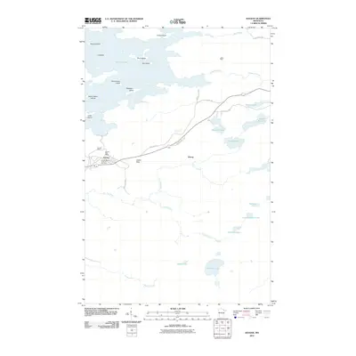
(29)- 1954 Map of Hibbing, 1966 Print
 1954 Hibbing1966 Print · USGSNorthern Minnesota's Iron Range thrives during the mid-1960s, showing the industrial landscape between the Mesabi Range and the Mississippi River. Genealogists and historians can trace the rail lines of the Great Northern RR through mining hubs like Hibbing and Virginia.3 unique versions available
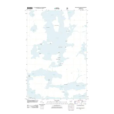
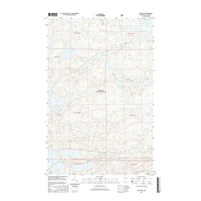
 - 1956 Map of Sioux Pine Island, 1958 Print
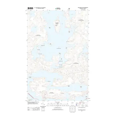
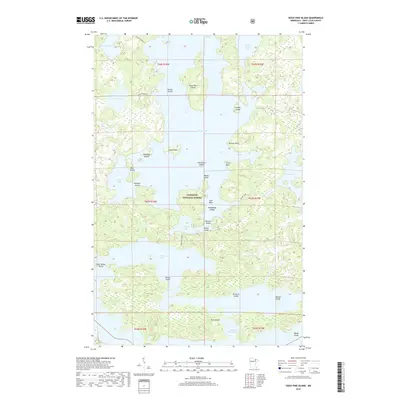
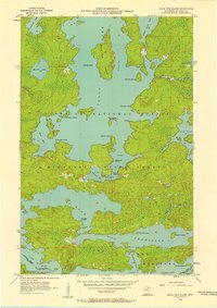 1956 Sioux Pine Island1958 Print · USGSThe lake country of St. Louis County is captured here in the mid-fifties, showing a pristine landscape of water and forest before modern development. You can trace historic travel routes like the Canfield Portage and locate named landmarks like Sioux Pine Island or the Five Sisters Islands.5 unique versions available
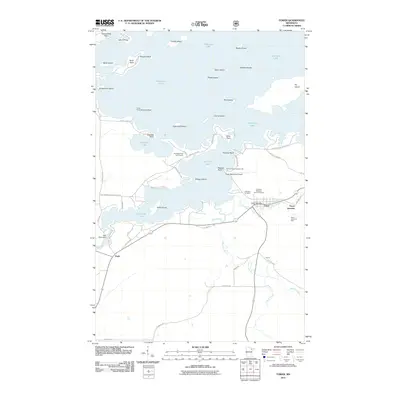
 - 1956 Map of Tower, 1958 Print
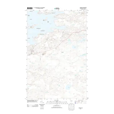
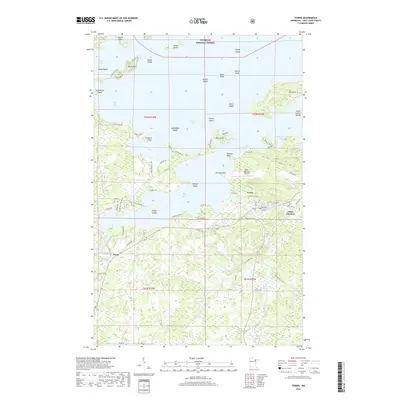
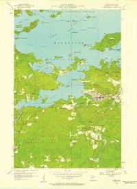 1956 Tower1958 Print · USGSVermilion Lake and the southern edge of the Iron Range are captured here in the mid-fifties, centered on the historic rail hub of Tower. Genealogists and historians can trace the Duluth Missabe and Iron Range line as it serves the North American Mine and the small settlement of Peyla.4 unique versions available
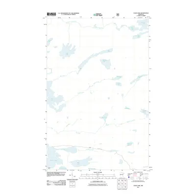
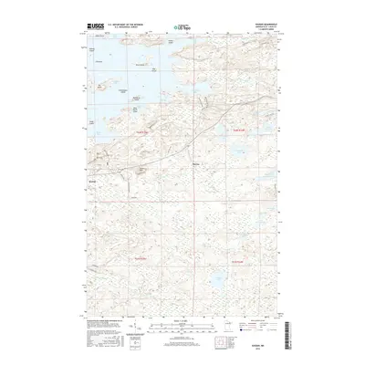
 - 1956 Map of Chad Lake, 1958 Print
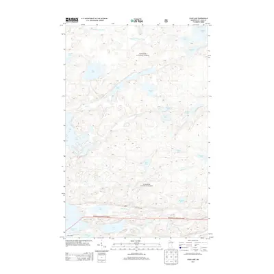
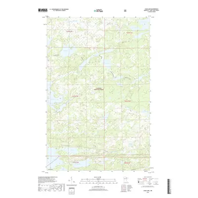
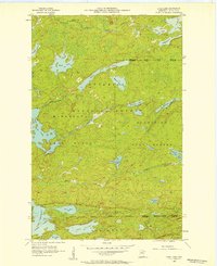 1956 Chad Lake1958 Print · USGSSt. Louis County is captured in the mid-1950s as a dense wilderness of interconnected waterways and state forests. Researchers can trace the pristine shorelines of Lake Vermilion and Bass Lake or locate interior landmarks like Indian Point and Rice Bay.3 unique versions available
 - 1956 Map of Soudan, 1958 Print
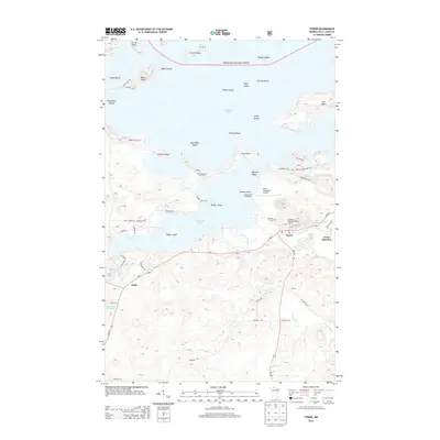
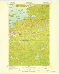 1956 Soudan1958 Print · USGSThe eastern Vermilion Iron Range comes into focus during the mid-fifties, showing the industrial core of the Soudan mining district. Genealogists and industrial historians can trace the Duluth Missabe and Iron Range railroad through Murray or locate the Soudan Mine and La Rue Mines.5 unique versions available
 - 1957 Map of Hibbing
 1957 Hibbing1957 Print · USGSNorthern Minnesota's Iron Range is shown at its industrial peak in the mid-fifties, dominated by the massive iron pits and rail corridors of the Mesabi Range. Researchers can trace the rail networks of the Duluth Missabe and Iron Range and locate mining hubs like Hibbing, Virginia, and Bovey.
 - 1958 Map of Hibbing
 1958 Hibbing1958 Print · USGSThe Mesabi Iron Range reached its mid-century height during this era, defining the landscape between Grand Rapids and Virginia. Genealogists and historians can trace the mining-town networks of Hibbing and Chisholm or locate numerous iron mines and rail spurs.
 - 1964 Map of Hibbing
 1964 Hibbing1964 Print · USGSNorthern Minnesota’s iron-rich corridor is captured here during a peak era of mid-century industrial activity. Researchers can trace the rail-to-mine connections through Mesabi Range towns like Hibbing and Virginia or locate lakefront settlements near Pokegama Lake.
 - 1994 Map of Vermillion Lake
 1994 Vermillion Lake1994 Print · USGSThe Mesabi Iron Range meets the North Woods in the 1990s, showcasing the heavy industrial footprint of the Duluth Missabe & Iron Range RR. Trace the sprawling works of the Mines near Virginia or the intricate island shorelines of Vermilion Lake.
 - 2010 Map of Soudan, 2010 Print
 2010 Soudan2010 Print · USGSCovers Breitung Township, including Eagles Nest Township, Bear Head Lake, and other nearby areas
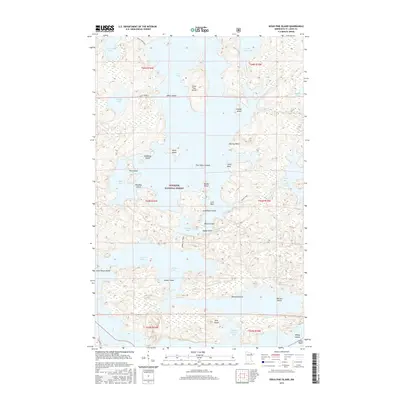
 - 2011 Map of Tower, 2011 Print
 2011 Tower2011 Print · USGSCovers Breitung Township, including Tower, Peyla, and other nearby areas
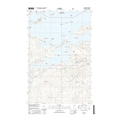
 - 2011 Map of Chad Lake, 2011 Print
 2011 Chad Lake2011 Print · USGSCovers Breitung Township, including Eagles Nest Township, Northeast St Louis, and other nearby areas
 - 2011 Map of Sioux Pine Island, 2011 Print
 2011 Sioux Pine Island2011 Print · USGSCovers Breitung Township, including Northeast St Louis, Greenwood Township, and other nearby areas
 - 2013 Map of Soudan, 2013 Print
 2013 Soudan2013 Print · USGSCovers Breitung Township, including Eagles Nest Township, Bear Head Lake, and other nearby areas
 - 2013 Map of Chad Lake, 2013 Print
 2013 Chad Lake2013 Print · USGSCovers Breitung Township, including Eagles Nest Township, Northeast St Louis, and other nearby areas
 - 2013 Map of Tower, 2013 Print
 2013 Tower2013 Print · USGSCovers Breitung Township, including Tower, Peyla, and other nearby areas
 - 2013 Map of Sioux Pine Island, 2013 Print
 2013 Sioux Pine Island2013 Print · USGSCovers Breitung Township, including Northeast St Louis, Greenwood Township, and other nearby areas
 - 2016 Map of Chad Lake, 2016 Print
 2016 Chad Lake2016 Print · USGSCovers Breitung Township, including Eagles Nest Township, Northeast St Louis, and other nearby areas
 - 2016 Map of Soudan, 2016 Print
 2016 Soudan2016 Print · USGSCovers Breitung Township, including Eagles Nest Township, Bear Head Lake, and other nearby areas
 - 2016 Map of Tower, 2016 Print
 2016 Tower2016 Print · USGSCovers Breitung Township, including Tower, Peyla, and other nearby areas
 - 2016 Map of Sioux Pine Island, 2016 Print
 2016 Sioux Pine Island2016 Print · USGSCovers Breitung Township, including Northeast St Louis, Greenwood Township, and other nearby areas
 - 2019 Map of Chad Lake, 2019 Print
 2019 Chad Lake2019 Print · USGSCovers Breitung Township, including Eagles Nest Township, Northeast St Louis, and other nearby areas
 - 2019 Map of Sioux Pine Island, 2019 Print
 2019 Sioux Pine Island2019 Print · USGSCovers Breitung Township, including Northeast St Louis, Greenwood Township, and other nearby areas
 - 2019 Map of Soudan, 2019 Print
 2019 Soudan2019 Print · USGSCovers Breitung Township, including Eagles Nest Township, Bear Head Lake, and other nearby areas
 - 2019 Map of Tower, 2019 Print
 2019 Tower2019 Print · USGSCovers Breitung Township, including Tower, Peyla, and other nearby areas
Showing maps 1-25 of 29
Top cities near Breitung Township
- Hoyt Lakes historical maps
- Babbitt historical maps
- Embarrass historical maps
- Tower historical maps
- Eagles Nest historical maps
Top neighborhoods of Breitung Township
Frequently asked questions
- What are the different types of historical maps available for Breitung Township?
- What is the oldest map of Breitung Township?
- Where can I purchase historical maps of Breitung Township for my home or office?
- Where can I download high-res historical maps of Breitung Township?
- Are there historical topographic maps available for Breitung Township?
- Is there historical aerial imagery available for Breitung Township?
- Where are historical maps of Breitung Township sourced from?