2000s (21st Century) Maps of Brevator Township, Minnesota
Explore 10 historic maps of Brevator Township from the 2000s (21st Century). These maps offer a rare glimpse into what life looked like during the 2000s — showing old roads, neighborhoods, homes, and landmarks that have changed or disappeared over time.
Whether you're researching your family's past, planning a metal detecting trip, or studying how Brevator Township's landscape evolved across the 2000s, these high-resolution maps are a powerful tool for exploring the history of this region.
- Focus on a specific era: All maps on this page are from the 2000s, giving you a focused view of this time period.
- See what’s changed: Compare century-old streets, trails, and buildings to today's modern landscape using overlays and satellite layers.
- Research with precision: Use these maps for genealogy, historical research, land use analysis, or educational projects.
- View, download, or print: Maps are fully viewable online in high resolution, and can be downloaded or printed for your own records.
Start exploring Brevator Township's history through authentic maps from the 2000s. This is your window into the past.
Brevator Township, MN maps
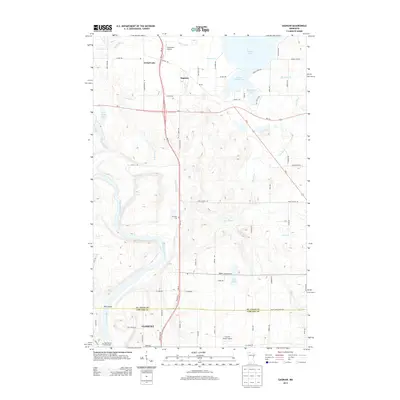
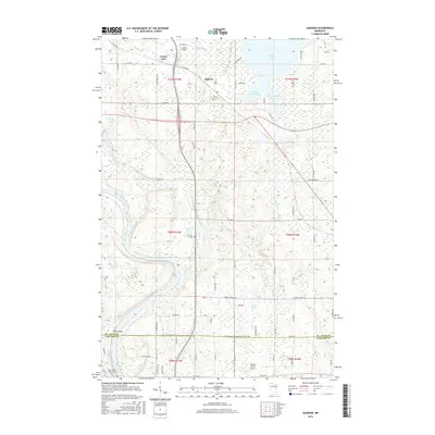
(10)- 2010 Map of Saginaw, 2010 Print
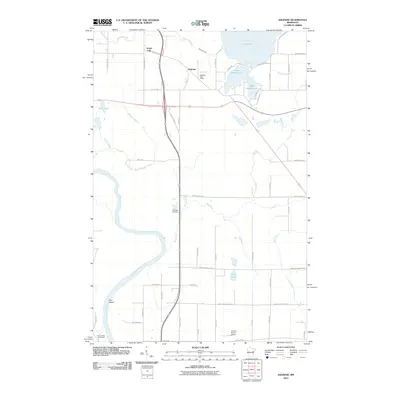 2010 Saginaw2010 Print · USGSCovers Brevator Township, including Cloquet, Grand Lake, and other nearby areas
 - 2010 Map of Brookston, 2010 Print
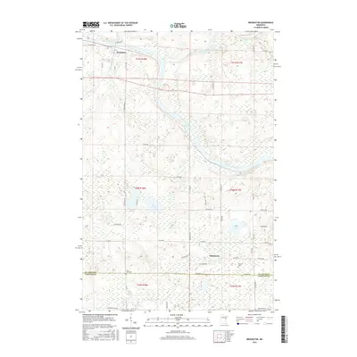
 2010 Brookston2010 Print · USGSCovers Brevator Township, including Cloquet, Brookston, and other nearby areas
 - 2013 Map of Saginaw, 2013 Print
 2013 Saginaw2013 Print · USGSCovers Brevator Township, including Cloquet, Grand Lake, and other nearby areas
 - 2013 Map of Brookston, 2013 Print
 2013 Brookston2013 Print · USGSCovers Brevator Township, including Cloquet, Brookston, and other nearby areas
 - 2016 Map of Saginaw, 2016 Print
 2016 Saginaw2016 Print · USGSCovers Brevator Township, including Cloquet, Grand Lake, and other nearby areas
 - 2016 Map of Brookston, 2016 Print
 2016 Brookston2016 Print · USGSCovers Brevator Township, including Cloquet, Brookston, and other nearby areas
 - 2019 Map of Saginaw, 2019 Print
 2019 Saginaw2019 Print · USGSCovers Brevator Township, including Cloquet, Grand Lake, and other nearby areas
 - 2019 Map of Brookston, 2019 Print
 2019 Brookston2019 Print · USGSCovers Brevator Township, including Cloquet, Brookston, and other nearby areas
 - 2022 Map of Saginaw, 2022 Print
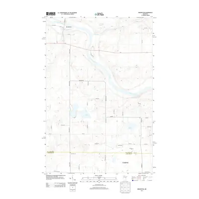
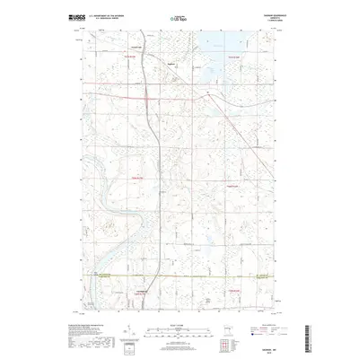
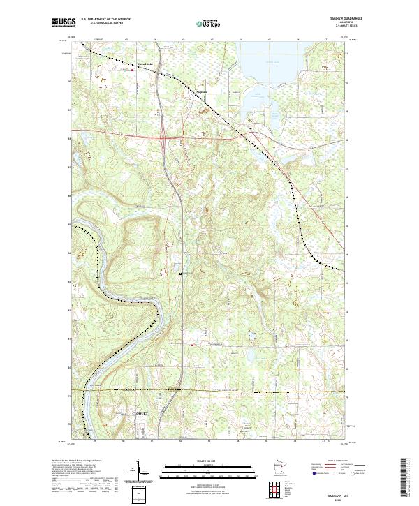 2022 Saginaw2022 Print · USGSThe St. Louis River valley and the lake country north of Cloquet are captured here in the early 2020s. Researchers can trace local history through the Brevator Cem, the Country Haven Airport, and the path of the Cloquet-Saginaw State Trl.
 - 2022 Map of Brookston, 2022 Print
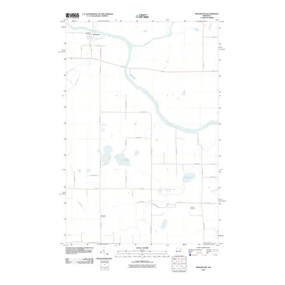
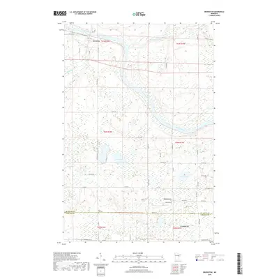
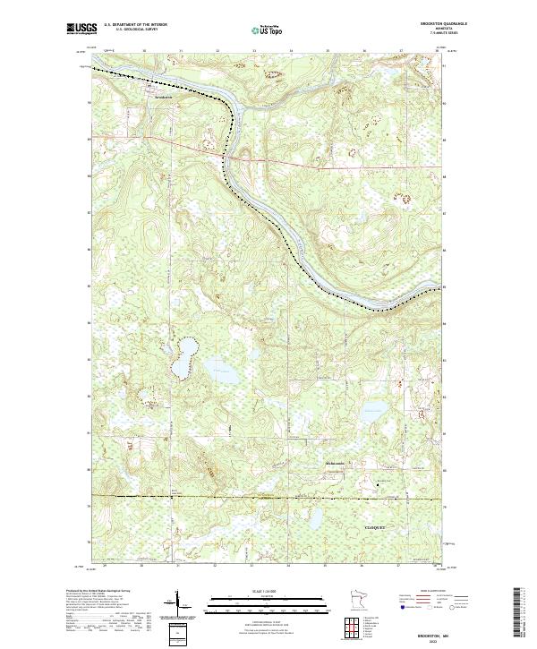 2022 Brookston2022 Print · USGSThe convergence of the Saint Louis River and Cloquet River defines this northern Minnesota landscape in the early 2020s. Genealogists and local historians can trace small-town roots and rural landmarks like Mahnomen, Birch Lake Cem, and Brookston.
End of results
Showing maps 1-10 of 10
Top cities near Brevator Township
- Duluth historical maps
- Cloquet historical maps
- Hermantown historical maps
- Grand Lake historical maps
- Scanlon historical maps
- Carlton historical maps
See more
Frequently asked questions
- What are the different types of historical maps available for Brevator Township?
- What is the oldest map of Brevator Township?
- Where can I purchase historical maps of Brevator Township for my home or office?
- Where can I download high-res historical maps of Brevator Township?
- Are there historical topographic maps available for Brevator Township?
- Is there historical aerial imagery available for Brevator Township?
- Where are historical maps of Brevator Township sourced from?