Old Maps of Buhl, Minnesota for Metal Detecting
Plan your next treasure hunt with 30 historic maps of Buhl. Find old homesites, ghost towns, trails, and gathering spots that may be lost to time — perfect for identifying promising metal detecting locations.
- Locate forgotten sites: Uncover places like long-lost settlements, abandoned rail lines, or gathering spots.
- Plan better hunts: Use map overlays combined with LiDAR or satellite views to narrow in on historically rich areas.
- Made for detectorists: Thousands of hobbyists use these maps to discover relics, coins, and hidden history.
Use these historic maps to boost your research and find new opportunities beneath the surface of Buhl.
Buhl, MN maps
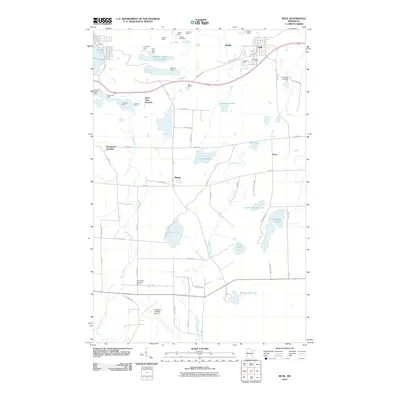
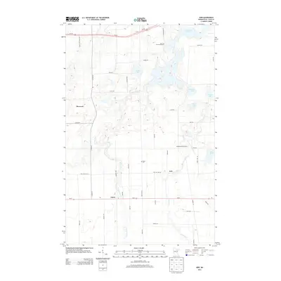
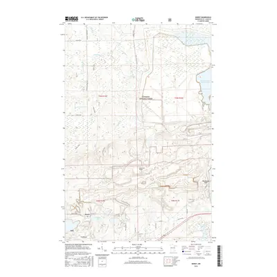
(30)- 1951 Map of Kinney, 1952 Print
 1951 Kinney1952 Print · USGSThe Mesabi Iron Range is captured mid-century during a period of high-output industrial mining. Genealogists and historians can trace the footprint of early iron operations including the Atkins Mine, Whiteside Mine, and the village of Kinney along the Great Northern rail lines.7 unique versions available
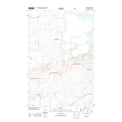
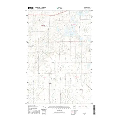
 - 1951 Map of Kirk, 1952 Print
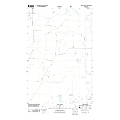
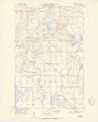 1951 Kirk1952 Print · USGSThe Iron Range of northern Minnesota was a hub of heavy rail and rural community life in the early fifties. Genealogists and historians can trace the local landscape through landmarks like School No 964, Bethel Cem, and the tracks of the Great Northern railroad.7 unique versions available
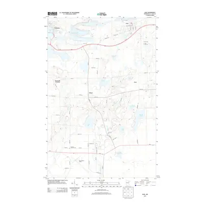
 - 1951 Map of Buhl, 1953 Print
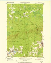
 1951 Buhl1953 Print · USGSThe Mesabi Range iron industry is in full stride during the early fifties, carving out a landscape of massive open pits and rail junctions. Genealogists and historians can trace the industrial footprint of the Sherman and Fraser mines, or locate local landmarks like Swandale School and Lake View Cemetery.6 unique versions available
 - 1954 Map of Hibbing, 1966 Print
 1954 Hibbing1966 Print · USGSNorthern Minnesota's Iron Range thrives during the mid-1960s, showing the industrial landscape between the Mesabi Range and the Mississippi River. Genealogists and historians can trace the rail lines of the Great Northern RR through mining hubs like Hibbing and Virginia.3 unique versions available
 - 1955 Map of Dewey Lake SE, 1956 Print
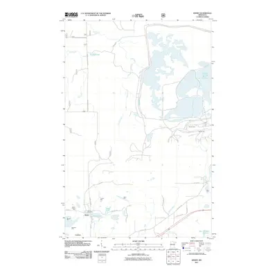
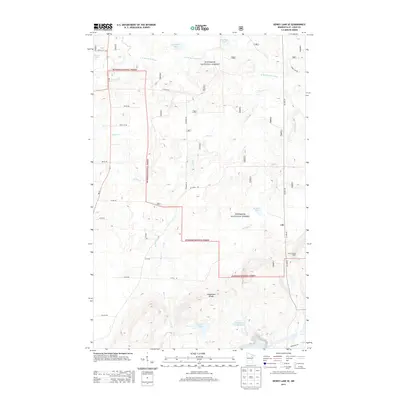
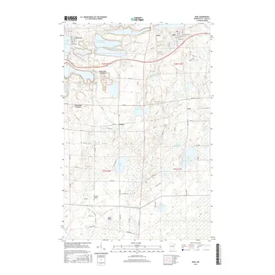
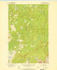 1955 Dewey Lake SE1956 Print · USGSIron Range mining reaches its mid-century peak in this survey of the Laurentian Divide near the Superior National Forest. Genealogists and historians can trace the industrial footprint of Buhl and Kinney through the Wabigon Mine, Margaret Mine, and local Community Hall.4 unique versions available
 - 1957 Map of Hibbing
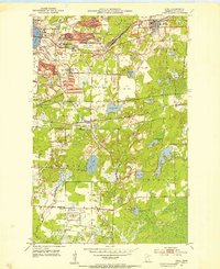
 1957 Hibbing1957 Print · USGSNorthern Minnesota's Iron Range is shown at its industrial peak in the mid-fifties, dominated by the massive iron pits and rail corridors of the Mesabi Range. Researchers can trace the rail networks of the Duluth Missabe and Iron Range and locate mining hubs like Hibbing, Virginia, and Bovey.
 - 1958 Map of Hibbing
 1958 Hibbing1958 Print · USGSThe Mesabi Iron Range reached its mid-century height during this era, defining the landscape between Grand Rapids and Virginia. Genealogists and historians can trace the mining-town networks of Hibbing and Chisholm or locate numerous iron mines and rail spurs.
 - 1964 Map of Hibbing
 1964 Hibbing1964 Print · USGSNorthern Minnesota’s iron-rich corridor is captured here during a peak era of mid-century industrial activity. Researchers can trace the rail-to-mine connections through Mesabi Range towns like Hibbing and Virginia or locate lakefront settlements near Pokegama Lake.
 - 1977 Map of Hibbing, 1994 Print
 1977 Hibbing1994 Print · USGSThe Iron Range of northern Minnesota comes into sharp focus during the late seventies, detailing the massive mining works and rail networks of St. Louis County. Researchers can trace family roots in Hibbing, Chisholm, and Virginia, or locate old post offices like Leoneth and Iron.
 - 1994 Map of Vermillion Lake
 1994 Vermillion Lake1994 Print · USGSThe Mesabi Iron Range meets the North Woods in the 1990s, showcasing the heavy industrial footprint of the Duluth Missabe & Iron Range RR. Trace the sprawling works of the Mines near Virginia or the intricate island shorelines of Vermilion Lake.
 - 2010 Map of Buhl, 2010 Print
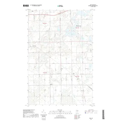
 2010 Buhl2010 Print · USGSCovers Buhl, including Hibbing, Chisholm, and other nearby areas
 - 2010 Map of Kirk, 2010 Print
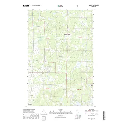
 2010 Kirk2010 Print · USGSCovers Buhl, including Mountain Iron, Cherry, and other nearby areas
 - 2011 Map of Dewey Lake SE, 2011 Print
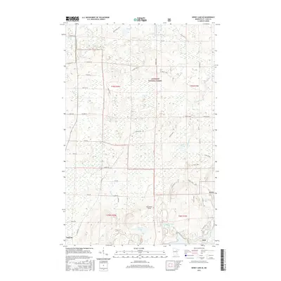
 2011 Dewey Lake SE2011 Print · USGSCovers Buhl, including Chisholm, Kinney, and other nearby areas
 - 2011 Map of Kinney, 2011 Print
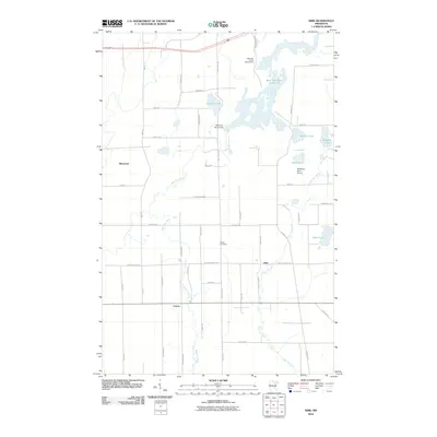
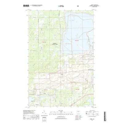
 2011 Kinney2011 Print · USGSCovers Buhl, including Mountain Iron, Kinney, and other nearby areas
 - 2013 Map of Kirk, 2013 Print
 2013 Kirk2013 Print · USGSCovers Buhl, including Mountain Iron, Cherry, and other nearby areas
 - 2013 Map of Buhl, 2013 Print
 2013 Buhl2013 Print · USGSCovers Buhl, including Hibbing, Chisholm, and other nearby areas
 - 2013 Map of Kinney, 2013 Print
 2013 Kinney2013 Print · USGSCovers Buhl, including Mountain Iron, Kinney, and other nearby areas
 - 2013 Map of Dewey Lake SE, 2013 Print
 2013 Dewey Lake SE2013 Print · USGSCovers Buhl, including Chisholm, Kinney, and other nearby areas
 - 2016 Map of Kinney, 2016 Print
 2016 Kinney2016 Print · USGSCovers Buhl, including Mountain Iron, Kinney, and other nearby areas
 - 2016 Map of Kirk, 2016 Print
 2016 Kirk2016 Print · USGSCovers Buhl, including Mountain Iron, Cherry, and other nearby areas
 - 2016 Map of Buhl, 2016 Print
 2016 Buhl2016 Print · USGSCovers Buhl, including Hibbing, Chisholm, and other nearby areas
 - 2016 Map of Dewey Lake SE, 2016 Print
 2016 Dewey Lake SE2016 Print · USGSCovers Buhl, including Chisholm, Kinney, and other nearby areas
 - 2019 Map of Dewey Lake SE, 2019 Print
 2019 Dewey Lake SE2019 Print · USGSCovers Buhl, including Chisholm, Kinney, and other nearby areas
 - 2019 Map of Kirk, 2019 Print
 2019 Kirk2019 Print · USGSCovers Buhl, including Mountain Iron, Cherry, and other nearby areas
 - 2019 Map of Kinney, 2019 Print
 2019 Kinney2019 Print · USGSCovers Buhl, including Mountain Iron, Kinney, and other nearby areas
Showing maps 1-25 of 30
Top cities near Buhl
- Hibbing historical maps
- Virginia historical maps
- Chisholm historical maps
- Eveleth historical maps
- Mountain Iron historical maps
- Cherry historical maps
See more
Frequently asked questions
- What are the different types of historical maps available for Buhl?
- What is the oldest map of Buhl?
- Where can I purchase historical maps of Buhl for my home or office?
- Where can I download high-res historical maps of Buhl?
- Are there historical topographic maps available for Buhl?
- Is there historical aerial imagery available for Buhl?
- Where are historical maps of Buhl sourced from?