
1955 Map of Dewey Lake SE
USGS Topo · Published 1956About this map
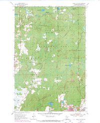
The Laurentian Divide cuts across this mid-century landscape of the Mesabi Range, marking the transition between the watershed of the Superior National Forest and the industrial activity of the Iron Range. To the south, the village of Buhl is surrounded by an intensive network of mining operations, including the Wabigon Mine, Shiras Mine, and the Grant Mine. These pits and their associated Mine Dumps contrast sharply with the wetland-dotted forests of Balkan and Great Scott townships to the north.
Find a feature on this map
33 named features on this map. Tap any name to fly to it.
Don’t see what you’re looking for? This feature index may not catch every label — zoom into the map to look around manually.
Map Details
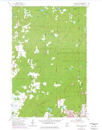
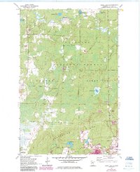
Editions of this 1955 Dewey Lake SE Map
4 editions found
Other maps of this area

1951 · Kinney
USGS Topo · 1:24,000

1951 · Kirk
USGS Topo · 1:24,000

1951 · Hibbing
USGS Topo · 1:24,000

1951 · Buhl
USGS Topo · 1:24,000

1952 · Idington
USGS Topo · 1:24,000

1954 · Hibbing
USGS Topo · 1:250,000

1955 · Dark Lake
USGS Topo · 1:24,000

1955 · Dewey Lake NW
USGS Topo · 1:24,000

1955 · Dewey Lake
USGS Topo · 1:24,000

1957 · Hibbing
USGS Topo · 1:250,000