
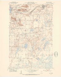
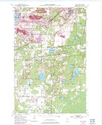
1951 Map of Buhl
USGS Topo · Published 1953About this map
Industrial activity on the Mesabi Range dominates this mid-century portrait of St. Louis County, where the iron mining economy has fundamentally reshaped the terrain. In the northern reaches, the towns of Chisholm, Buhl, and Fraser are surrounded by an intensive network of open pits and infrastructure, including the Sherman Mine, Hartley Burt Mine, and Monroe Tener Mine. The landscape is characterized by massive Mine Dump features and Tailings Ponds that dwarf the original topography. Transport is facilitated by the Great Northern and the Duluth Missabe and Iron Range railroads, which weave through junctions like Dunwoody Junction and St Clair Junction to move ore. South of the mining belt, the character shifts toward a mix of timber and wetlands, featuring the Hibbing Municipal Airport and rural landmarks such as the Swandale School and the Spudville Clubhouse. Local recreation and cemeteries, including Buhl Park and Lake View Cemetery, provide community anchors amidst the sprawling industrial works.
Find a feature on this map
58 named features on this map. Tap any name to fly to it.
Don’t see what you’re looking for? This feature index may not catch every label — zoom into the map to look around manually.
Map Details
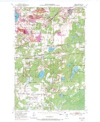
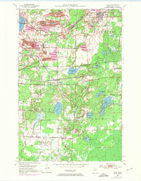
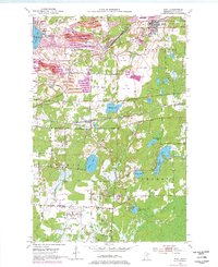
Editions of this 1951 Buhl Map
6 editions found
Other maps of this area

1951 · Kinney
USGS Topo · 1:24,000

1951 · Kirk
USGS Topo · 1:24,000

1951 · Hibbing
USGS Topo · 1:24,000

1951 · Casco
USGS Topo · 1:24,000

1952 · Riley
USGS Topo · 1:24,000

1952 · Little Swan
USGS Topo · 1:24,000

1954 · Hibbing
USGS Topo · 1:250,000

1955 · Dewey Lake SE
USGS Topo · 1:24,000

1955 · Dewey Lake
USGS Topo · 1:24,000

1957 · Hibbing
USGS Topo · 1:250,000