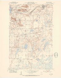
1951 Map of Buhl
USGS Topo · Published 1953About this map
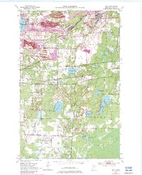
The Iron Range landscape dominates this early 1950s survey, defined by the heavy industrial footprint of open-pit mining and ore transport. Massive operations like the Sherman Mine, Hartley Mine, and Grant Mine are depicted with their accompanying mine dumps, shafts, and tailings ponds, illustrating the scale of extraction in the Mesabi Range. This industrial activity is tightly woven into the surrounding settlements of Chisholm, Buhl, and Fraser, where residential blocks sit in the shadow of the stockpiles. The complex logistical network required for ore movement is evidenced by the numerous rail lines, including the Duluth Missabe and Iron Range and Great Northern railroads, which crisscross the territory to connect mines with junctions like Dunwoody Junction. South of the pits, the terrain shifts toward a series of lakes and marshes, including Sizmile Lake and McQuade Lake, providing a contrast between the altered mining grounds and the natural hydrography of St. Louis County.
Find a feature on this map
52 named features on this map. Tap any name to fly to it.
Don’t see what you’re looking for? This feature index may not catch every label — zoom into the map to look around manually.
Map Details
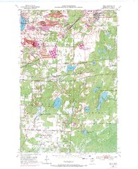
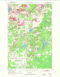
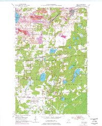
Editions of this 1951 Buhl Map
6 editions found
Other maps of this area

1951 · Kinney
USGS Topo · 1:24,000

1951 · Kirk
USGS Topo · 1:24,000

1951 · Hibbing
USGS Topo · 1:24,000

1951 · Casco
USGS Topo · 1:24,000

1951 · Buhl
USGS Topo · 1:24,000

1952 · Riley
USGS Topo · 1:24,000

1952 · Little Swan
USGS Topo · 1:24,000

1954 · Hibbing
USGS Topo · 1:250,000

1955 · Dewey Lake SE
USGS Topo · 1:24,000

1955 · Dewey Lake
USGS Topo · 1:24,000