
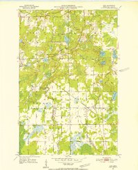
1951 Map of Kirk
USGS Topo · Published 1952About this map
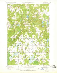
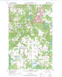
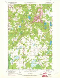
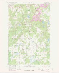
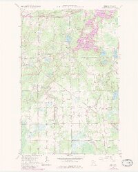
Cherry and the nearby settlement of Kirk anchor this 1951 survey of the Iron Range region, where the industrial footprint of the Mesabi territory meets the winding waters of the West Two River. The landscape is a complex intersection of natural drainage and heavy rail infrastructure, notably the Great Northern and the Duluth Missabe and Iron Range railroads. These lines cut through a terrain dotted with wetlands and named water bodies such as Doherty Lake and Elbow Lake.
Find a feature on this map
25 named features on this map. Tap any name to fly to it.
Don’t see what you’re looking for? This feature index may not catch every label — zoom into the map to look around manually.
Map Details
Editions of this 1951 Kirk Map
7 editions found
Other maps of this area

1951 · Eveleth
USGS Topo · 1:24,000

1951 · Virginia
USGS Topo · 1:24,000

1951 · Kinney
USGS Topo · 1:24,000

1951 · Zim
USGS Topo · 1:24,000

1951 · Casco
USGS Topo · 1:24,000

1951 · Buhl
USGS Topo · 1:24,000

1952 · Little Swan
USGS Topo · 1:24,000

1954 · Hibbing
USGS Topo · 1:250,000

1955 · Dewey Lake SE
USGS Topo · 1:24,000

1957 · Hibbing
USGS Topo · 1:250,000