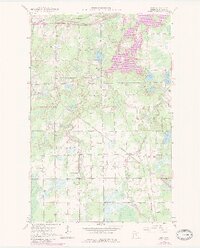
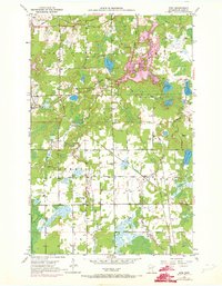
1951 Map of Kirk
USGS Topo · Published 1983About this map
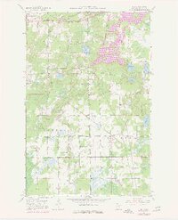
Mining and rail infrastructure dominate this landscape in the Mesabi Range, where the industry's footprint is visible through numerous pits, gravel pits, and a prominent Mine Dump near Buhl. The map captures the transition from industrial extraction north of the Mountain Iron Corporate Boundary to the agrarian and residential settlements of Cherry and Clinton in the south. The rural character of these communities is anchored by local landmarks like Bethel Ch, Bethel Cem, and School No 96. Water management for the region is evidenced by the sprawling West Two River Reservoir and the West Two River drainage. Transport networks are vital here, with the Burlington Northern and the Duluth Missabe and Iron Range Railroad providing the necessary heavy-duty connections for the region's mineral wealth.
Find a feature on this map
30 named features on this map. Tap any name to fly to it.
Don’t see what you’re looking for? This feature index may not catch every label — zoom into the map to look around manually.
Map Details
Editions of this 1951 Kirk Map
7 editions found
Other maps of this area

1951 · Eveleth
USGS Topo · 1:24,000

1951 · Virginia
USGS Topo · 1:24,000

1951 · Kinney
USGS Topo · 1:24,000

1951 · Kirk
USGS Topo · 1:24,000

1951 · Zim
USGS Topo · 1:24,000

1951 · Casco
USGS Topo · 1:24,000

1951 · Buhl
USGS Topo · 1:24,000

1952 · Little Swan
USGS Topo · 1:24,000

1954 · Hibbing
USGS Topo · 1:250,000

1955 · Dewey Lake SE
USGS Topo · 1:24,000